


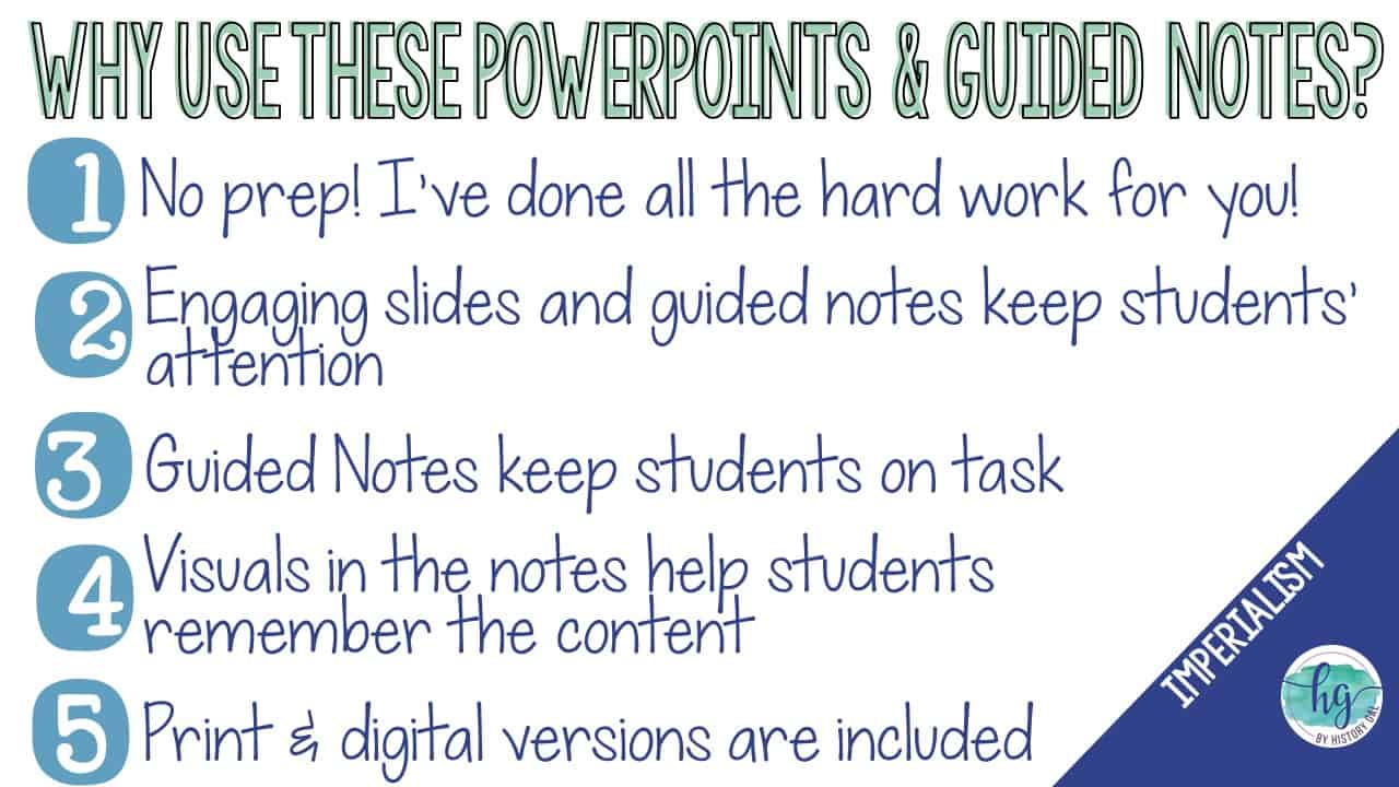
Description
Are you teaching a lesson on the Spanish American War during your imperialism unit? Check out this engaging map activity!
This no-prep print and digital map set makes it easy for your students to label and color maps to help them learn about the Cuban and Philippines Theaters during the 1898 Spanish American War. Students will follow a PowerPoint or Google Slides presentation step by step to label and color two maps – one for the war in Cuba and the Caribbean and the other for the war in the Philippines and the Pacific. Student will then use their completed map to answer 5 questions. Have a paperless classroom? Students can also label a map by dragging and dropping labels on a digital map.
Lastly, students can practice what they’ve learned by using a self-checking online map!
Map #1: Cuba Theater
What’s Included with the Print Version:
*Blank map (2 pages, uneditable PDF, versions with and without questions)
*Map for students to just color (1 page, uneditable pdf,)
*Answer key for map (2 pages, uneditable pdf,)
*Animated PowerPoint shows each location and the key (10 slides, each slide guides students through completing the map, some text is editable but images are not)
What’s included with the Digital Versions:
*Map for students to label (students will drag labels to the correct spot on the map and complete the key; PowerPoint & Google Slides versions; not editable; includes versions with and without questions)
*Online Map lets students test their knowledge of locations (internet connection is required to access, works on all browsers and with all devices, no account and no logins required, self-checking)
*Google Slides version of the PowerPoint (10 slides, each slide guides students through completing the map, some text is editable but images are not)
Map #1: Philippines Theater
What’s Included with the Print Version:
*Blank map (2 pages, uneditable PDF, versions with and without questions)
*Map for students to just color (1 page, uneditable pdf,)
*Answer key for map (2 pages, uneditable pdf,)
*Animated PowerPoint shows each location and the key (8 slides, each slide guides students through completing the map, some text is editable but images are not)
What’s included with the Digital Versions:
*Map for students to label (students will drag labels to the correct spot on the map and complete the key; PowerPoint & Google Slides versions; not editable; includes versions with and without questions)
*Online Map lets students test their knowledge of locations (internet connection is required to access, works on all browsers and with all devices, no account and no logins required, self-checking)
*Google Slides version of the PowerPoint (8 slides, each slide guides students through completing the map, some text is editable but images are not)
*This zip file contains PDF and PowerPoint files*
***This resource is included in the following larger bundles:***
* American History 1877-Present Map Activities Bundle for U.S. History Units
* U.S. History from 1877 Bundle of Unit Lessons, Activities, Maps, Doodle Notes
* U.S. History Mega Bundle: Exploration to Present
Questions? Check out the FAQs.
Copyright © History Gal. All rights reserved by author.
Personal classroom use only.


%20Map%20Activity&url=https://byhistorygal.com/product/spanish-american-war-cuban-and-philippines-theaters-map-activity/&media=https://byhistorygal.com/wp-content/uploads/2024/10/History-Gal_Cover-Spanish-American-War-Map-Activity.jpg)
%20PowerPoint%20and%20Student%20Fill%20in%20Blanks%20Notes&url=https://byhistorygal.com/product/u-s-imperialism-and-progressive-movement-1850s-1917-powerpoint-and-student-fill-in-blanks-notes/&media=https://byhistorygal.com/wp-content/uploads/2023/03/History-Gal_Cover-Imperialism-PowerPoint.jpg)
Reviews
There are no reviews yet.