




Description
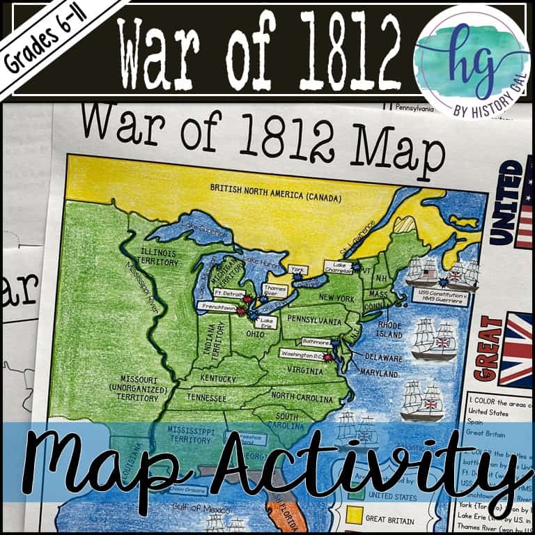
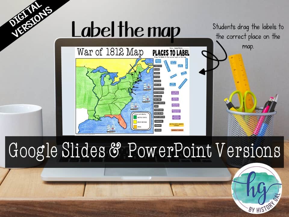
This activity will help students better understand the War of 1812. They will label, color, and answer questions on the blank map version or just color on the coloring page version. It’s a great way to incorporate geography in your lesson.
What’s included with the Print Version:
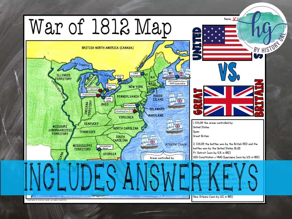
*Blank War of 1812 map for students to label, color, and answer questions (1 page plus 1 page key, uneditable pdf)
*War of 1812 Map Coloring Page (1 page plus 1 page key, uneditable pdf)
*Reading on the Roots of the War of 1812 (1 page, uneditable pdf)
*Reading Questions and Key (2 pages, uneditable pdf )
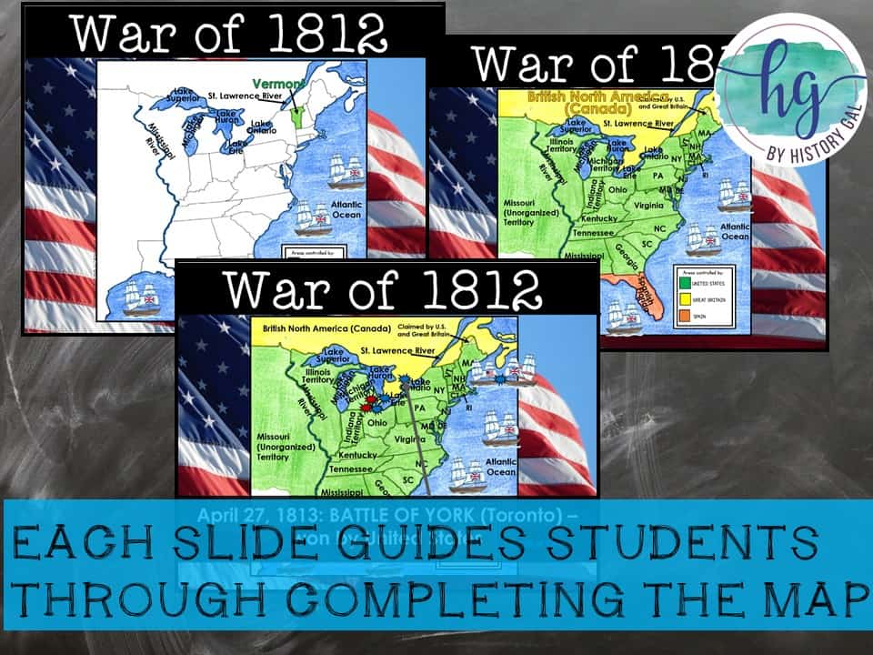
*Animated PowerPoint shows each location and the key – perfect for classrooms without textbooks or Internet access (38 slides, each slide guides students through completing the map, some text is editable but images are not)
What’s included with the Digital Versions:
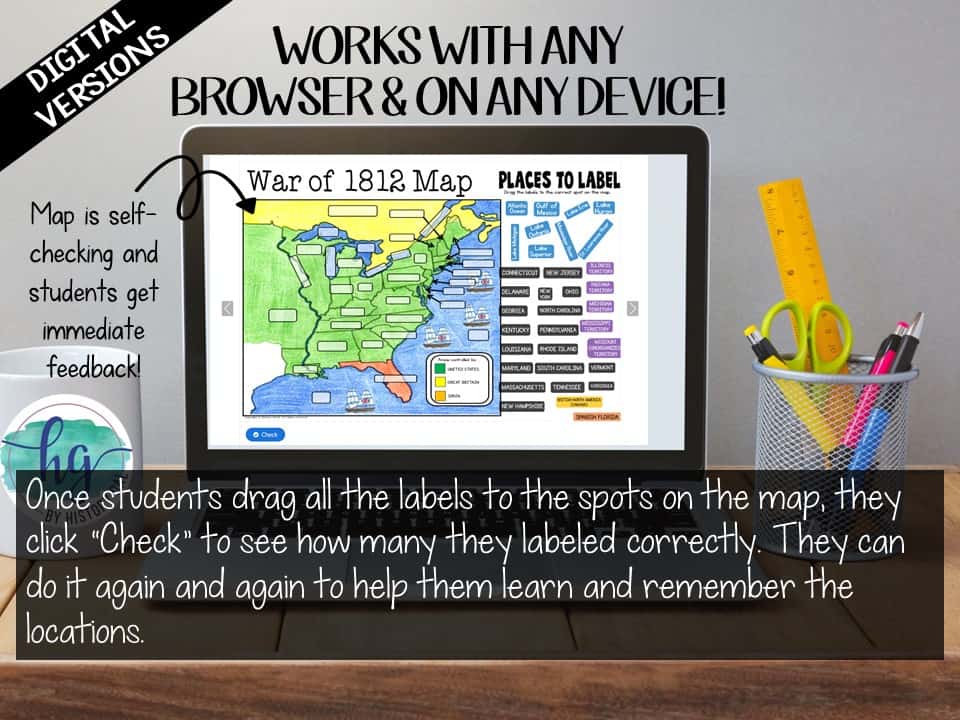
*War of 1812 map for students to label (students will drag labels to the correct spot on the map; PowerPoint & Google Slides versions; not editable)
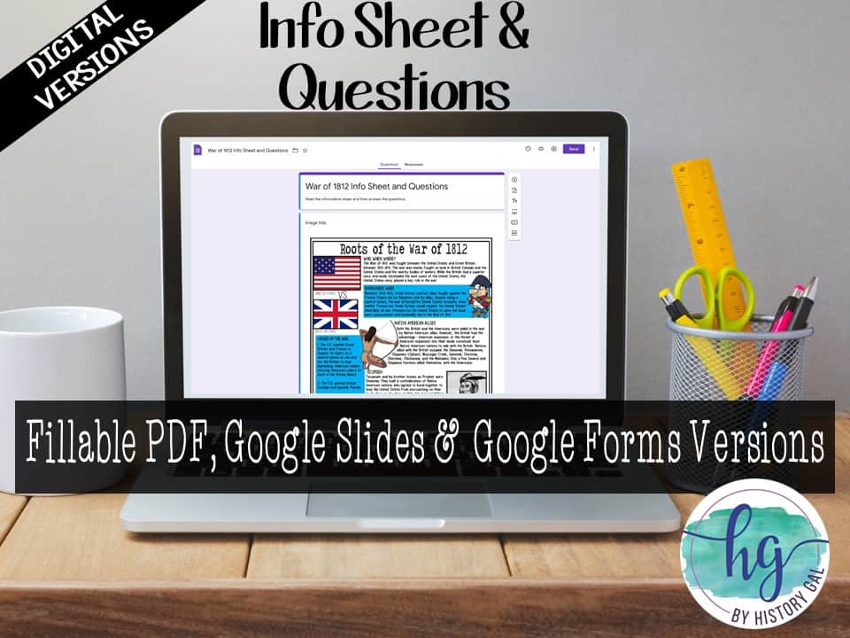
*Info Sheet and Questions for students to answer (students will type their answers into text boxes; Google Slides, Google Form, and Fillable PDF versions; not editable)
*Online Map lets students test their knowledge of locations (internet connection is required to access, works on all browsers and with all devices, no account and no logins required, self-checking)
***Included in the following larger unit bundles:
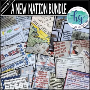
A New Nation Bundle
U.S. History 10 1877 Map Activities Bundle
U.S. History Map Activities Bundle (Colonization through the Present)
U.S. History to 1877 Bundle
U.S. History Mega Bundle: Exploration to Present
Questions? Check out the FAQs.
Copyright © History Gal. All rights reserved by author.
Personal classroom use only.


Reviews
There are no reviews yet.