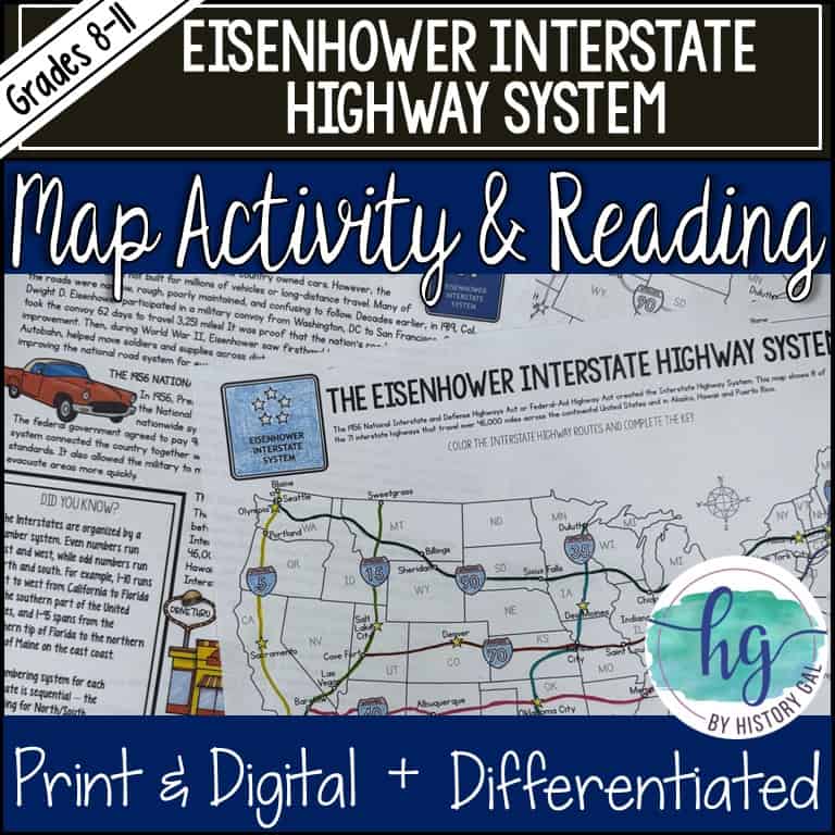
Description
Are you teaching the 1956 Federal-Aid Highway Act also known as the National Interstate and Defense Highways Act in your U.S. History class? This map activity is an easy to implement Cold War lesson that will help your students better understand the Act and why it was signed into law by President Eisenhower.
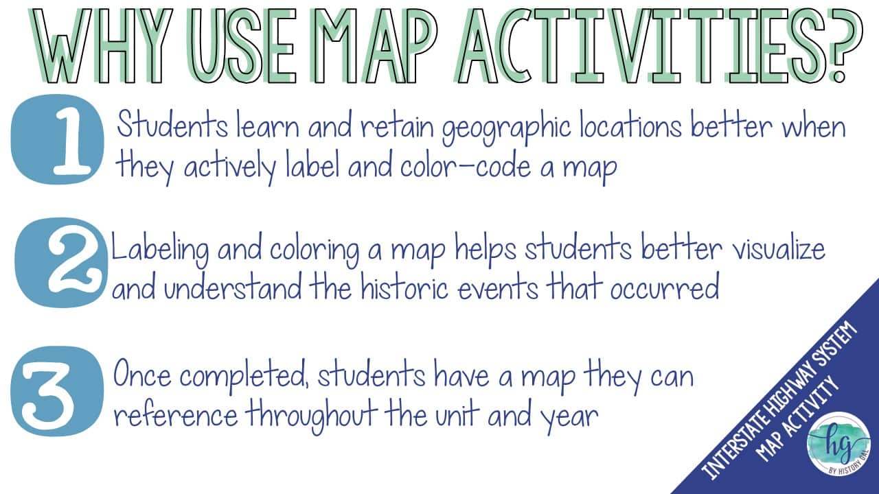
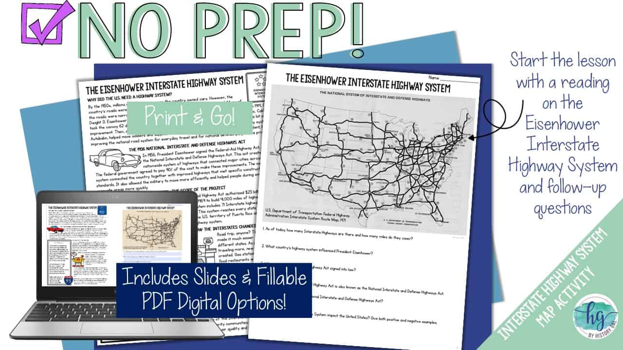
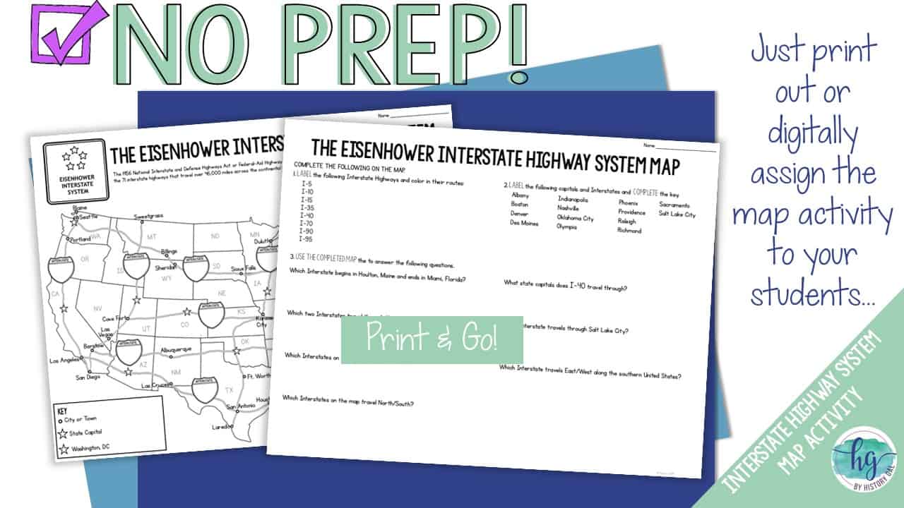
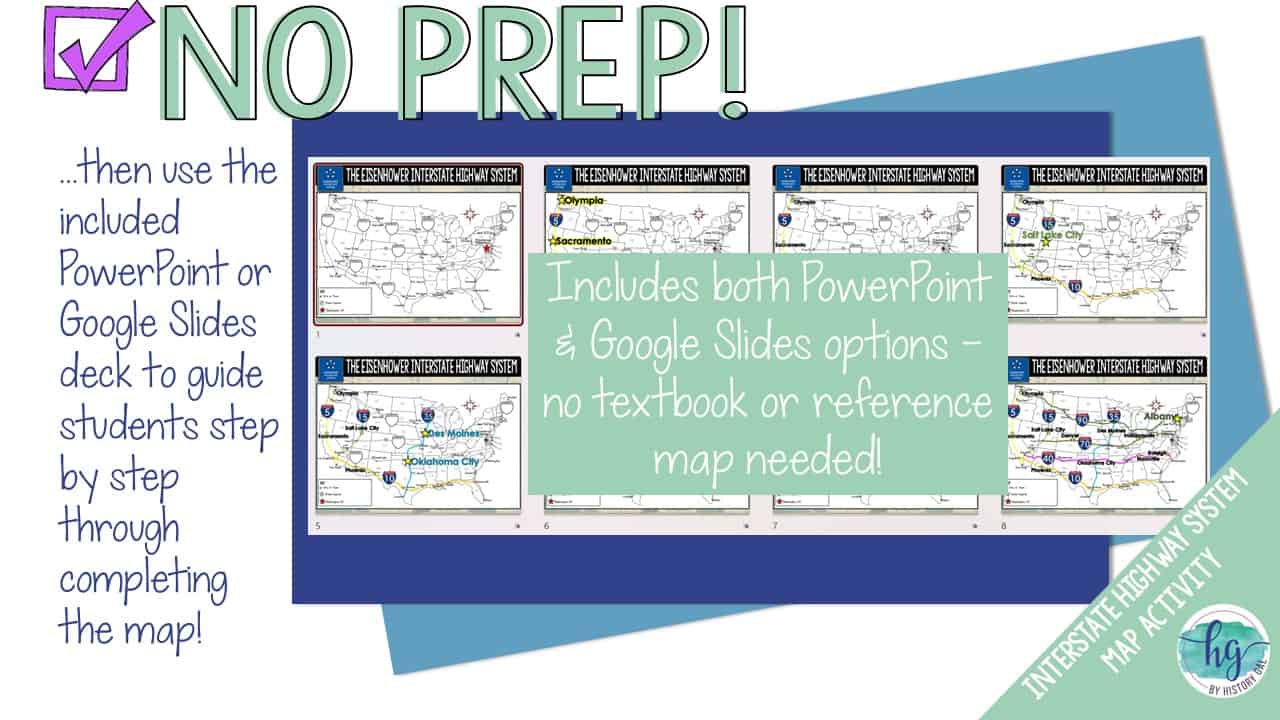
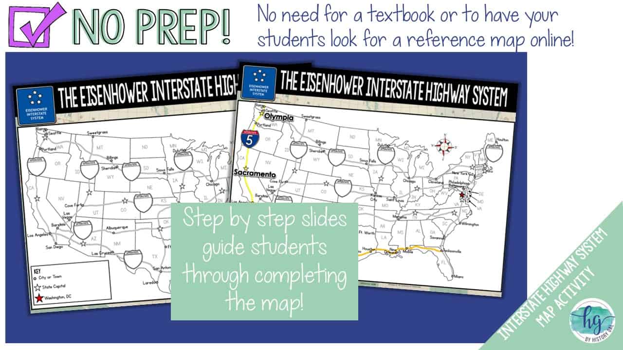
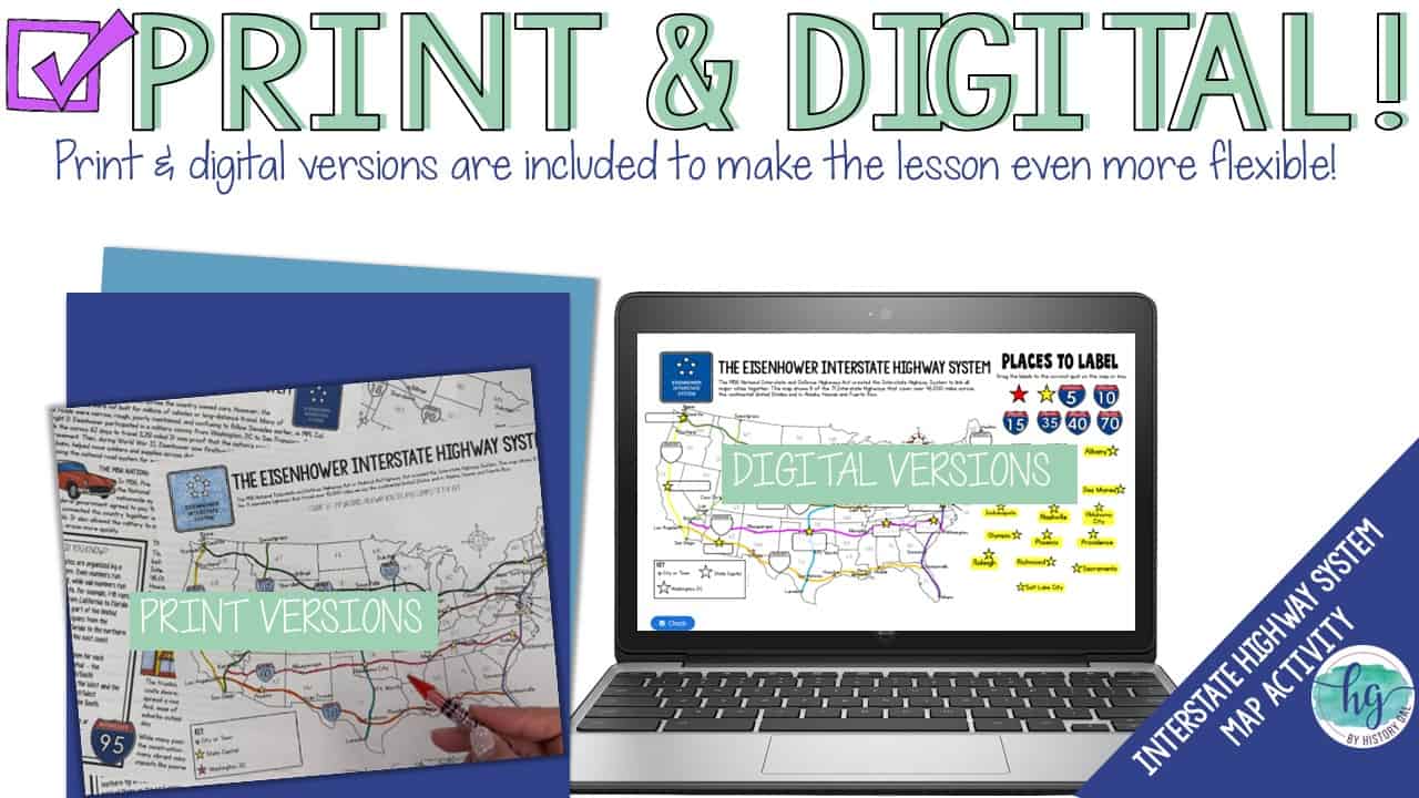
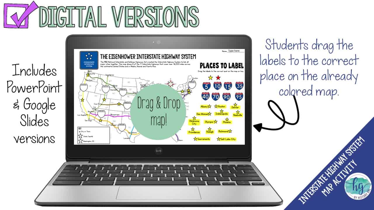
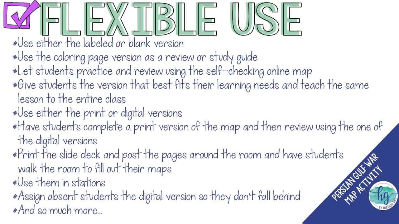
Start the lesson with the reading passage and questions about the Eisenhower Interstate Highway System. Then use the no-prep print and digital map set makes it easy for your students to create a map they can use while learning about the Interstate Highway System. Students will follow a PowerPoint or Google Slides presentation step by step to label and color a map. Once students complete their map, they will use their map to answer seven follow-up questions. Have a paperless classroom? Students can also label a map by dragging and dropping labels on a digital map.
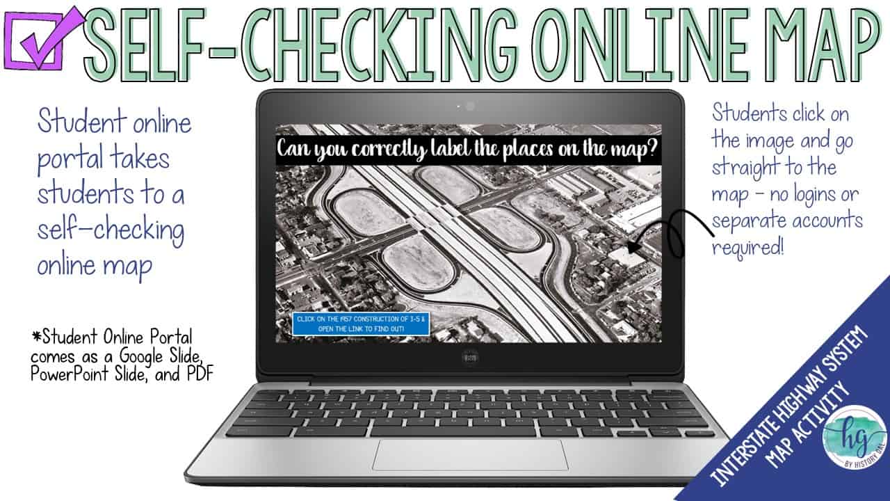
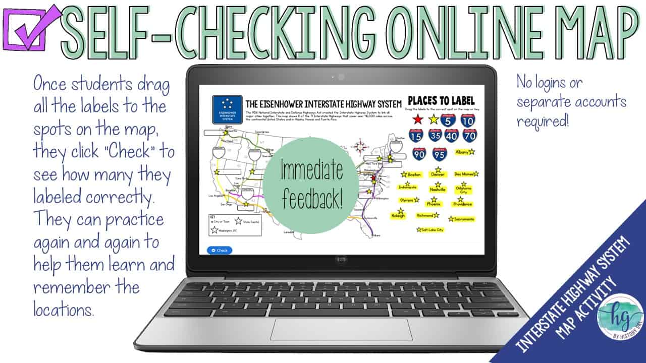
Lastly, students can practice what they’ve learned by using a self-checking online map!
What’s included:
✅ Reading passage & questions about the Eisenhower Interstate Highway System
✅ Print & Digital Map Versions (with and without follow-up questions)
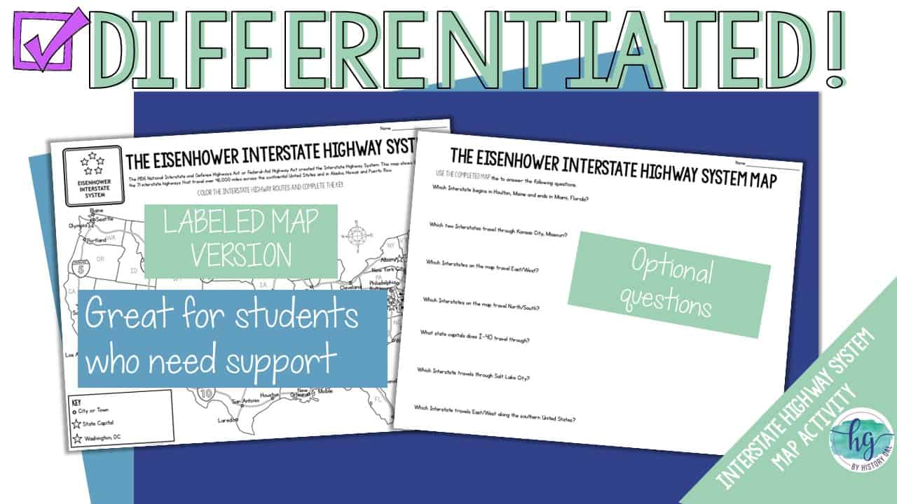
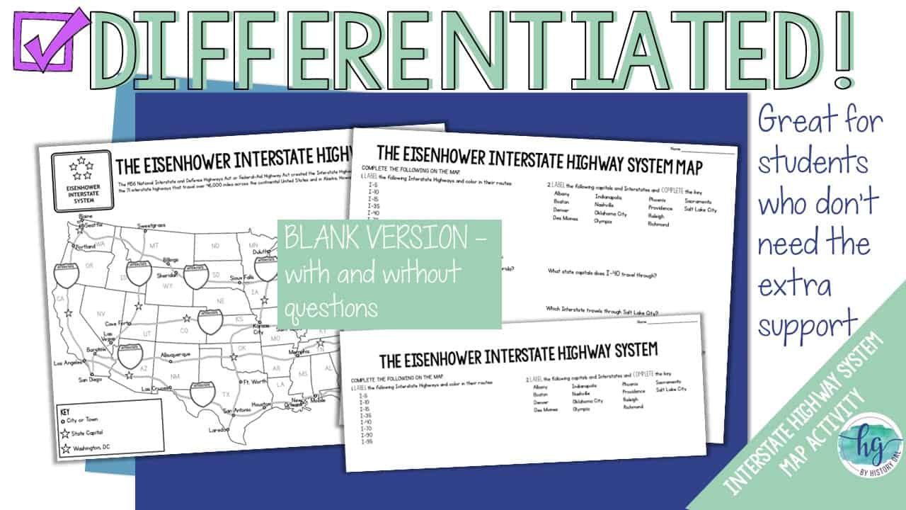
✅ Differentiated Options
✅ PowerPoint & Google Slides Decks
✅ Link to Self-Checking Online Map
Students will label:
8 Interstate Highways: I-5, I-10, I-15, I-35, I-40, I-70, I-90, I-95
14 State Capitals: Albany, Boston, Denver, Des Moines, Indianapolis, Nashville, Oklahoma City, Phoenix, Providence, Raleigh, Richmond, Sacramento, Salt Lake City
Washington, D.C.
What’s included with the Print Version:
⭐️ Reading passage and questions (2 pages, uneditable PDF)
⭐️Answer key for reading questions (1 page, uneditable PDF)
⭐️ Blank map for students to label and color with questions (2 pages, uneditable PDF)
⭐️ Blank map for students to label and color without questions (1 1/2 pages, uneditable PDF)
⭐️ Map for students to just color (1 page, uneditable PDF)
⭐️ Separate map questions (1 page, uneditable PDF)
⭐️ Answer key for map (1 page, uneditable PDF)
⭐️ Animated PowerPoint guides students step-by-step through completing the map (10 slides, some text is editable but images are not)
What’s included with the Digital Version:
⭐️ Reading passage and questions (2 pages; fillable PDF & Google Slides options, not editable)
⭐️Answer key for reading questions (1 page, uneditable PDF)
⭐️ Map for students to label with and without questions (students will drag labels to the correct spot on the already colored map and complete the key; PowerPoint & Google Slides versions; not editable)
⭐️ Google Slides deck guides students step-by-step through completing the map (10 slides, some text is editable but images are not)
⭐️ Answer key for map (1 page, uneditable pdf,)
⭐️ Self-checking Online Map lets students test their knowledge of locations (internet connection is required to access, works on all browsers and with all devices, no account and no logins required)
✅Check out the preview to get a closer look at what’s included!
*This zip file contains PDF and PowerPoint files and links to the Google Slides versions*
✨This resource is included in the following larger bundles:✨
American History 1877-Present Map Activities Bundle
U.S. History Map Activities Bundle
U.S. History 1877 to Present Bundle
U.S. History Mega Bundle: Exploration to Present
Questions? Check out the FAQs.
Copyright © History Gal. All rights reserved by author.
Personal classroom use only.


&url=https://byhistorygal.com/product/truman-and-eisenhower-during-the-cold-war-powerpoint-guided-notes-us-history/&media=https://byhistorygal.com/wp-content/uploads/2022/10/History-Gal_Cover-Truman-Eisenhower-Cold-War-ppt.jpg)
Reviews
There are no reviews yet.