


Description
Are you teaching the 3 Kingdoms of Korea in your World History class? This map activity is an easy to implement lesson on the 3 Kingdoms – Gorguryeo (Koguryo), Baekje (Paekche), and Silla Kingdoms that will help your students better understand what occurred in Korea before it was united by the Silla Kingdom.
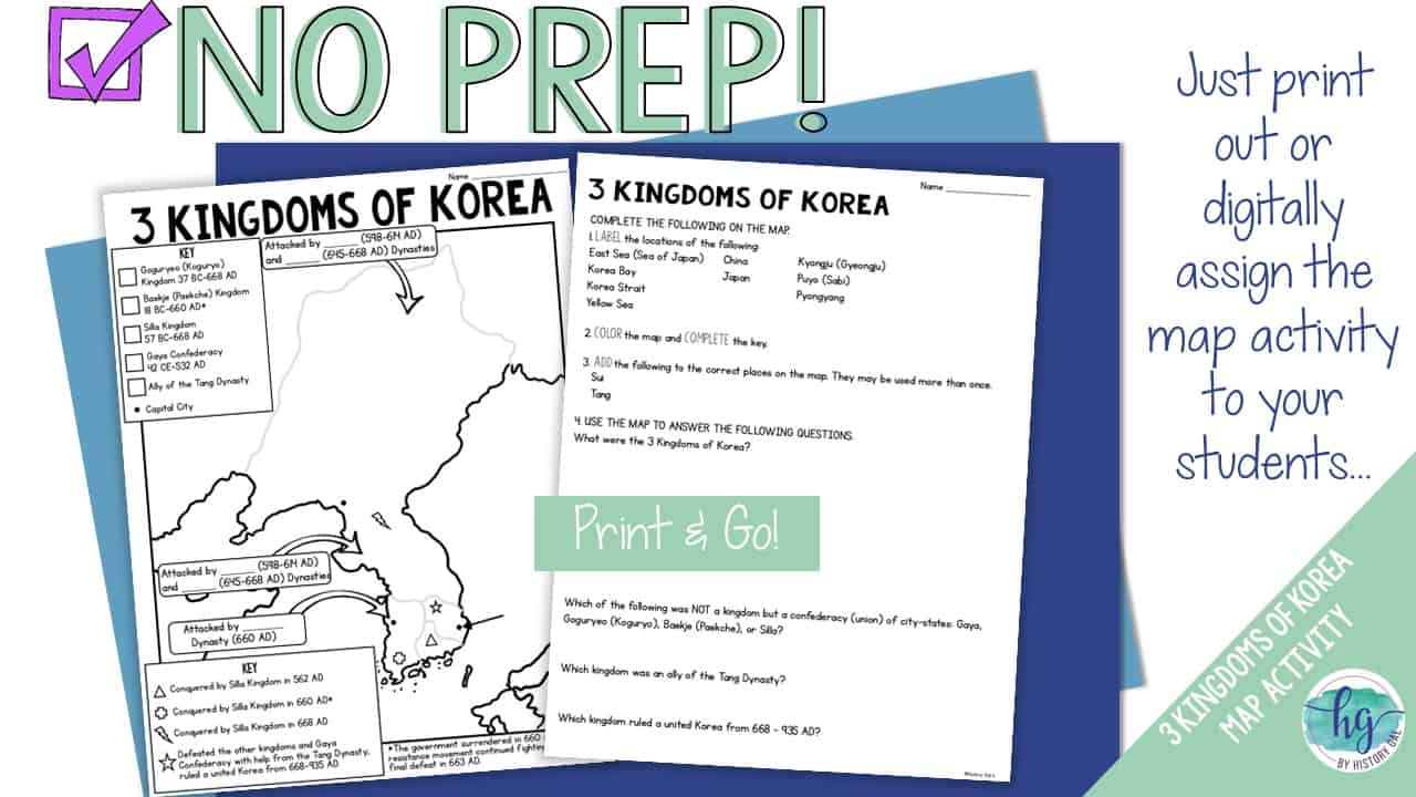
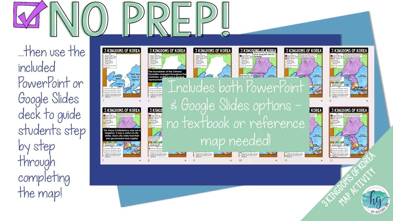
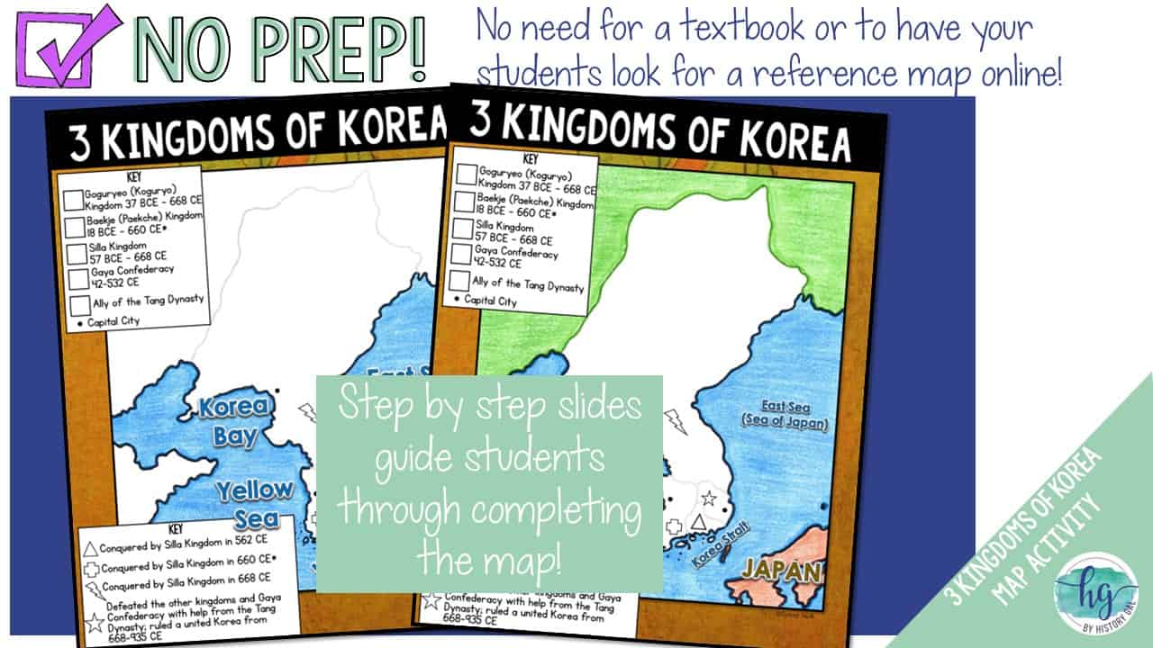
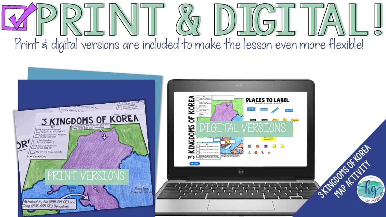
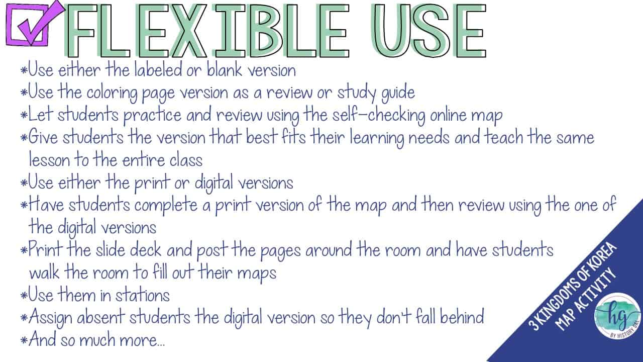
This no-prep print and digital map set makes it easy for your students to create a map they can use while learning about the 3 Kingdoms of Korea in the period that led up to a united Korea. Students will follow a PowerPoint or Google Slides presentation step by step to label and color a map. Once students complete their map, they will use their map to answer six follow-up questions. Have a paperless classroom? Students can also label a map by dragging and dropping labels on a digital map.
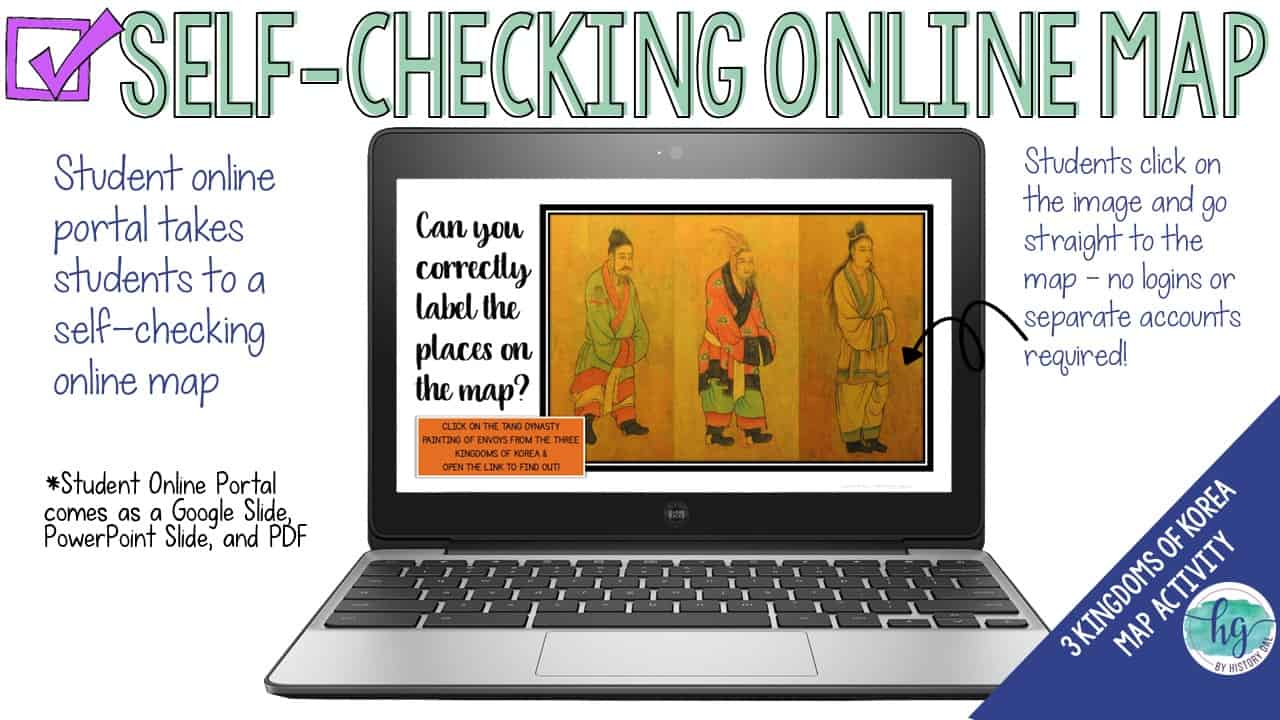
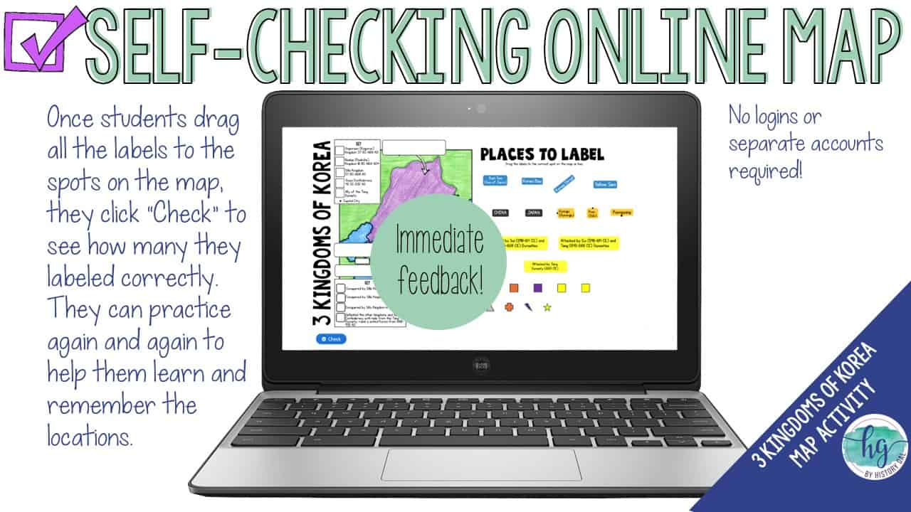
Lastly, students can practice what they’ve learned by using a self-checking online map!
What’s included:
✅ Print & Digital Map Versions (with and without follow-up questions)
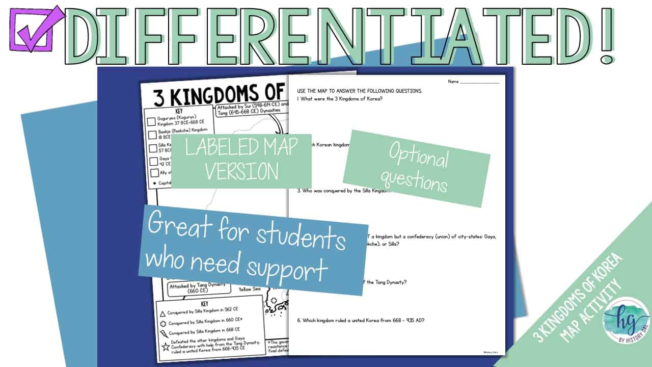
✅ Differentiated Options
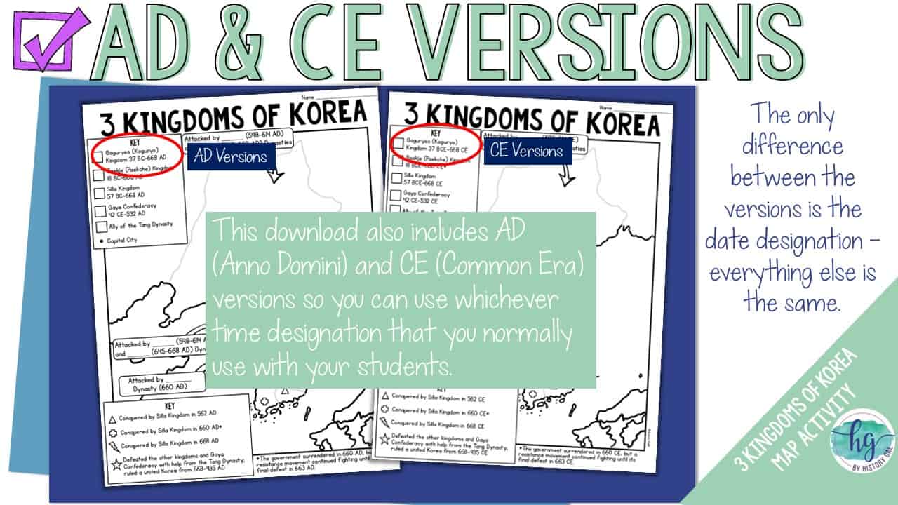
✅ AD (Anno Domini) & CE (Common Era) Date Options
✅ PowerPoint & Google Slides Decks
✅ Link to Self-Checking Online Map
Students will label:
Regions: China, Japan
Kingdoms & Confederacies and their capitals: Goguryeo (Koguryo), Baekje (Paekche), Silla, Gaya
Bodies of water: East Sea (Sea of Japan), Korea Bay, Korea Strait, Yellow Sea
Attacks by Sui and Tang Dynasties
What’s included with the Print Version:
⭐️ Blank map for students to label and color with questions (2 pages, uneditable PDF)
⭐️ Blank map for students to label and color without questions (1 1/2 pages, uneditable PDF)
⭐️ Map for students to just color (1 page, uneditable PDF)
⭐️ Separate map questions (1 page, uneditable PDF)
⭐️ Answer key for map (1 page, uneditable PDF)
⭐️ Animated PowerPoint guides students step-by-step through completing the map (12 slides, some text is editable but images are not)
What’s included with the Digital Version:
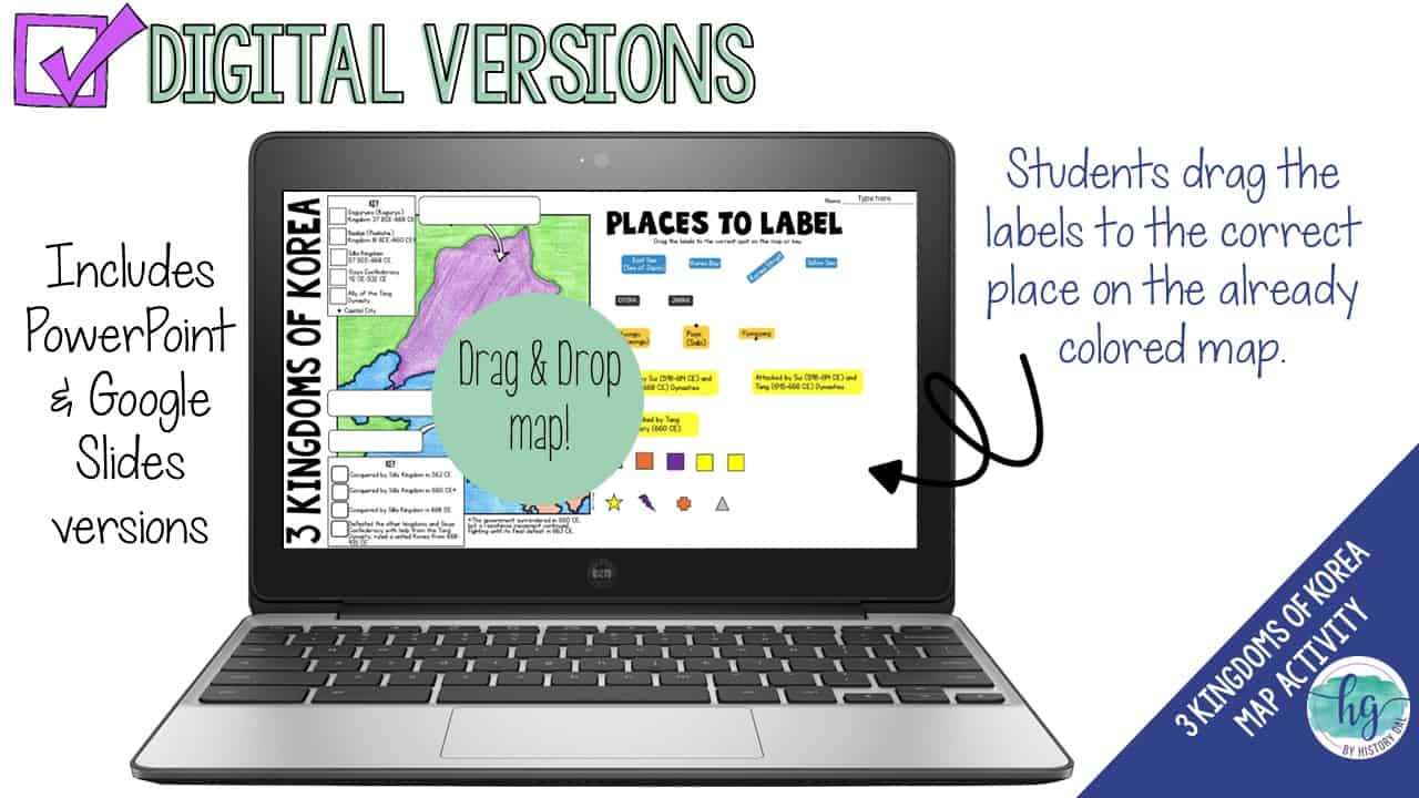
⭐️ Map for students to label with and without questions (students will drag labels to the correct spot on the already colored map and complete the key; PowerPoint & Google Slides versions; not editable)
⭐️ Google Slides deck guides students step-by-step through completing the map (12 slides, some text is editable but images are not)
⭐️ Answer key for map (1 page, uneditable pdf,)
⭐️ Self-checking Online Map lets students test their knowledge of locations (internet connection is required to access, works on all browsers and with all devices, no account and no logins required)
✨This resource is included in the following larger bundles:✨
World History Mega Curriculum Bundle






%20Map%20Activity&url=https://byhistorygal.com/product/african-kingdoms-axum-ghana-mali-songhai-map-activity/&media=https://byhistorygal.com/wp-content/uploads/2023/02/History-Gal_Cover-African-Kingdoms.jpg)


Reviews
There are no reviews yet.