
Description
Do your students need to know the locations of countries in East Africa and their capitals?
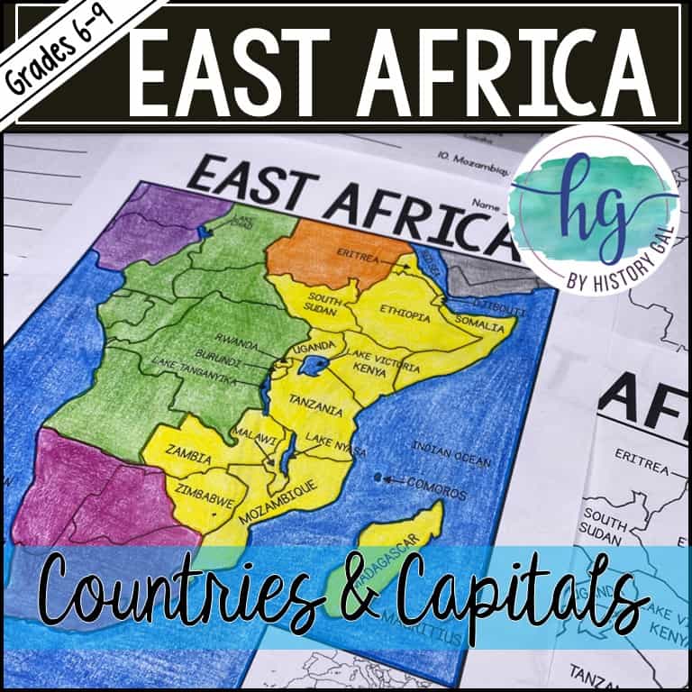
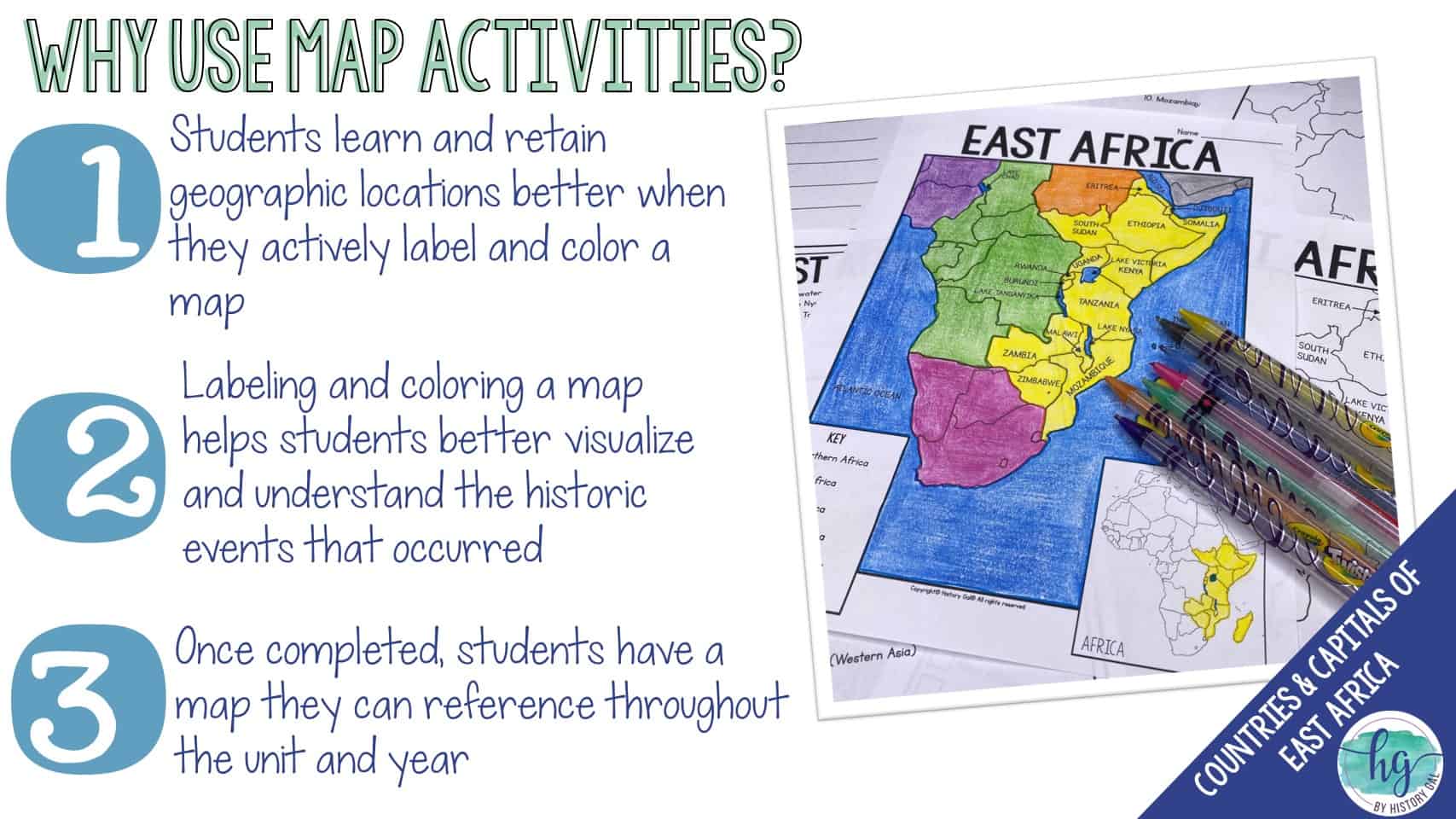
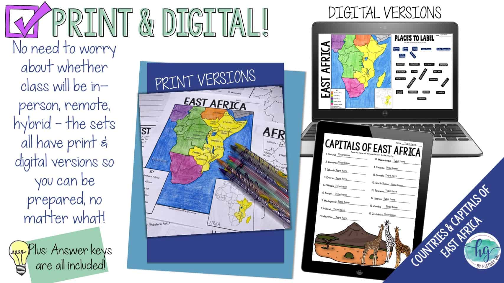
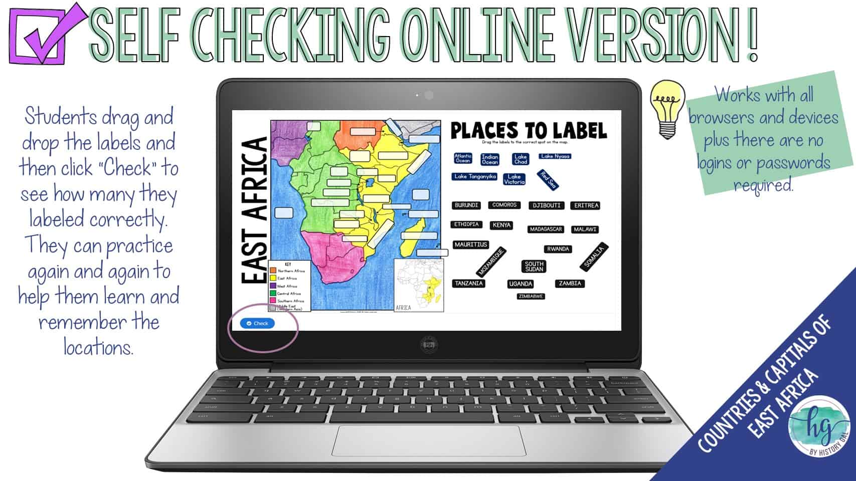
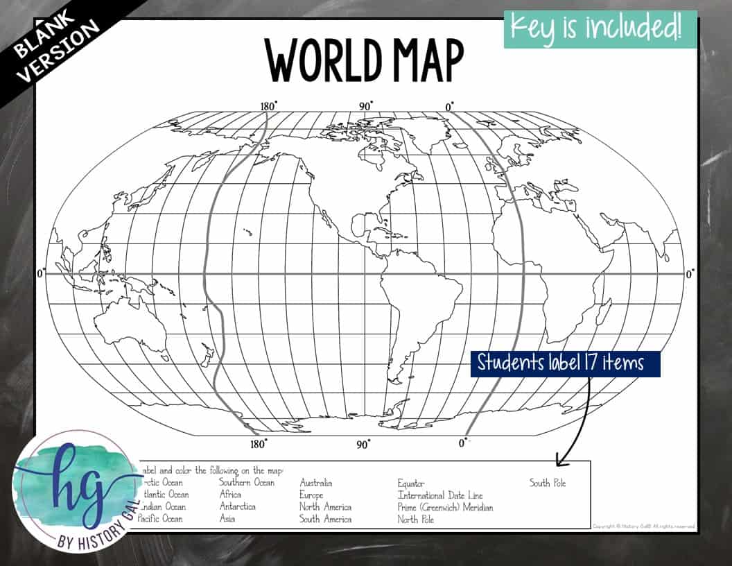
This no-prep print and digital map has students label the countries of East Africa and record their capitals. Students will label a map of East Africa which includes the 17 African countries of Burundi, Comoros, Djibouti, Eritrea, Ethiopia, Kenya, Madagascar, Malawi, Mauritius, Mozambique, Rwanda, Somalia, South Sudan, Tanzania, Uganda, Zambia, and Zimbabwe.
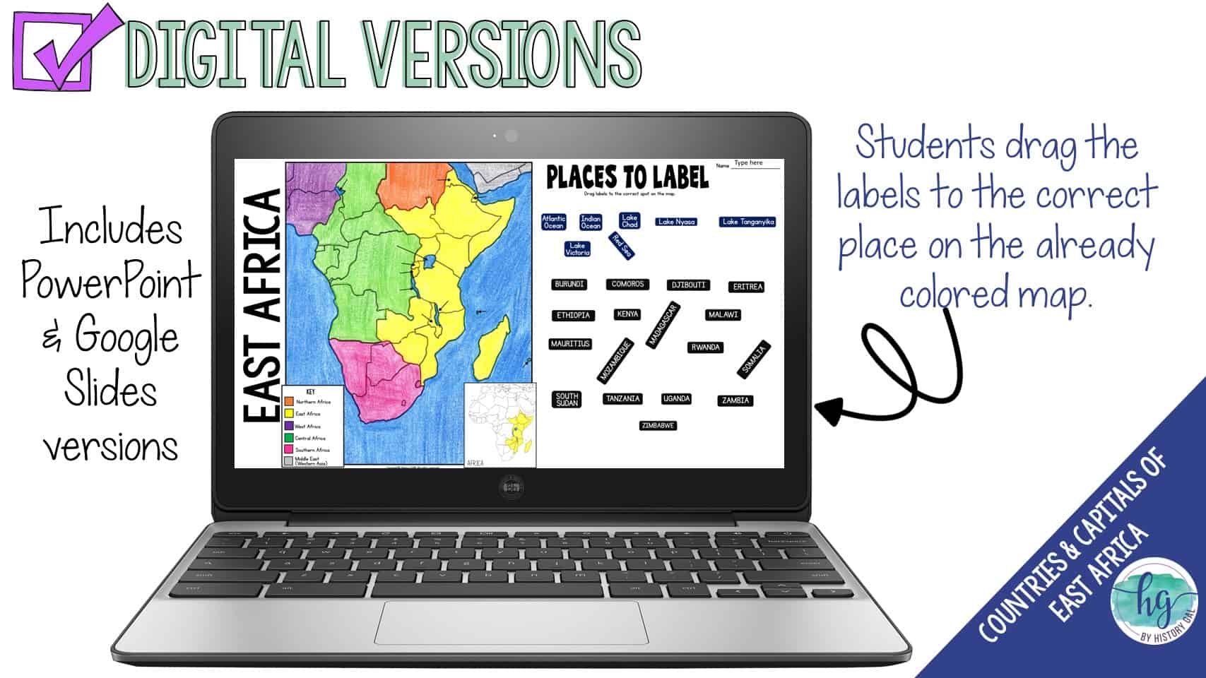
They will also label the Atlantic Ocean, Indian Ocean, Red Sea, Lake Chad, Lake Nyasa, Lake Tanganyika, and Lake Victoria and complete a map key.
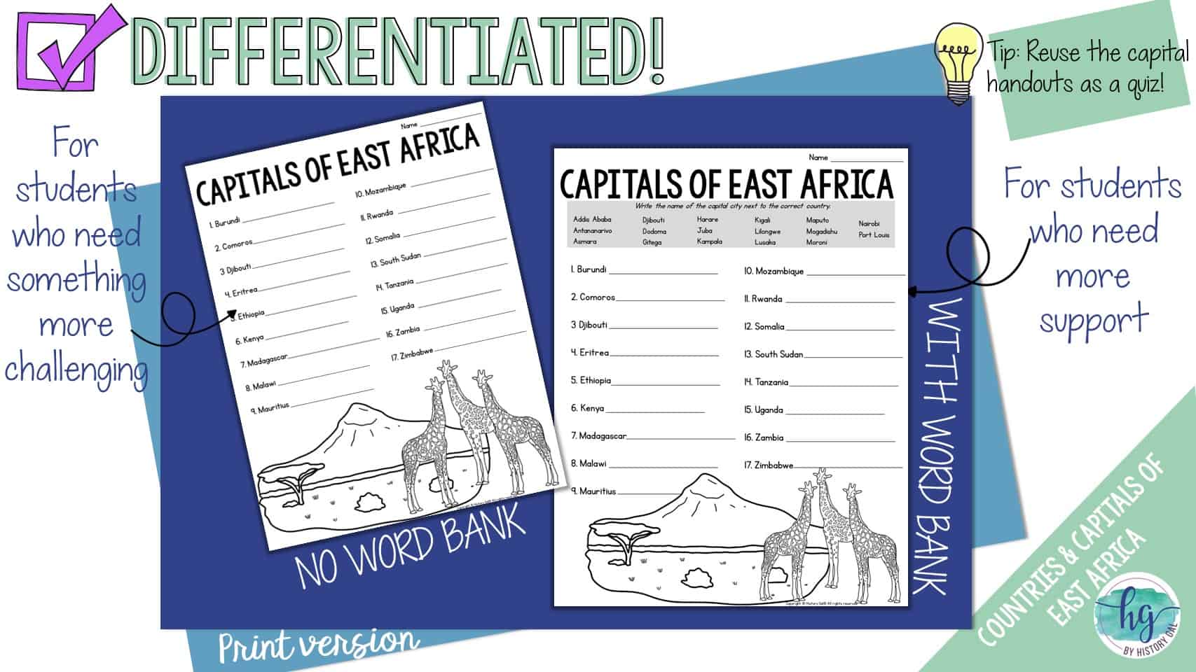
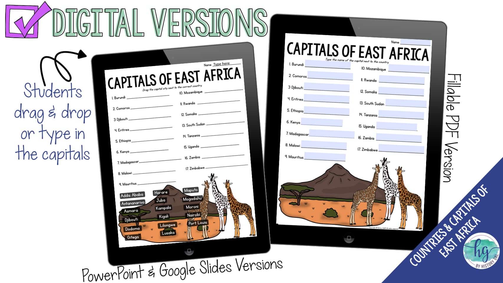
Lastly, to further help students remember the capitals of the countries located in East Africa, students will write the capitals down on a handout. This handout can be used again as a quiz. This download also includes digital versions so it is easy to use with hybrid classes and remote students.
*Note: There are a lot of ways to divide Africa into regions. There’s not one correct way. My regions of Africa are based on how the United Nations divides Africa into regions.
What’s Included with the Print Versions:
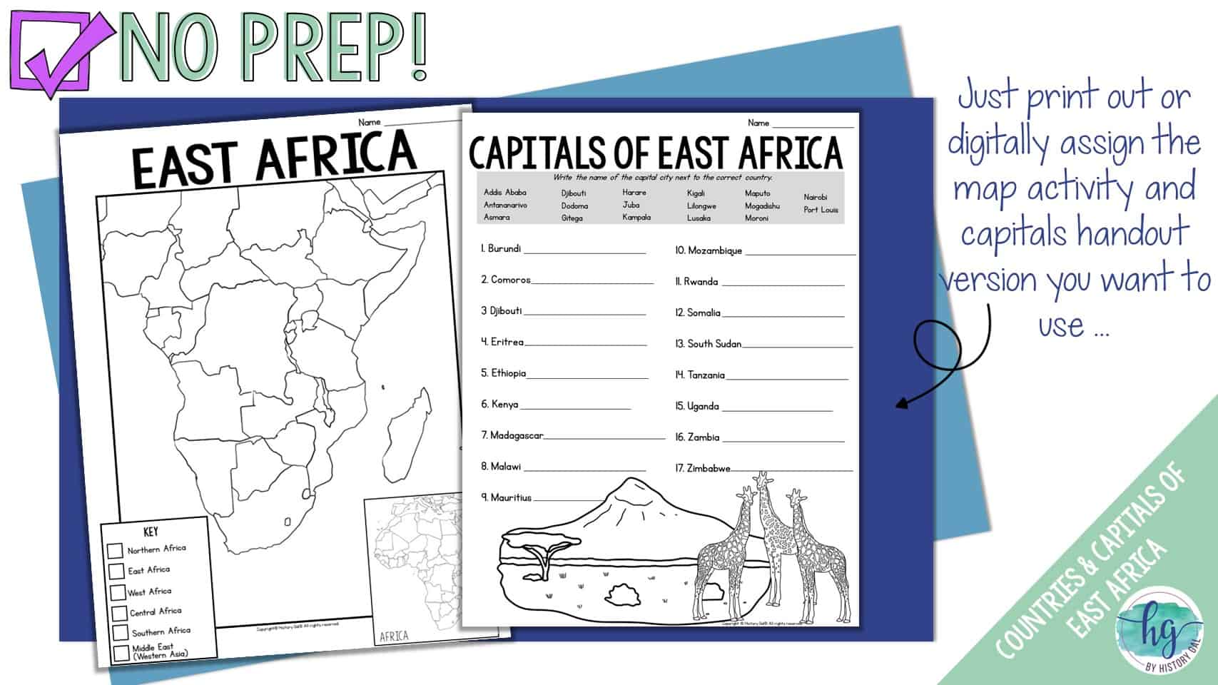
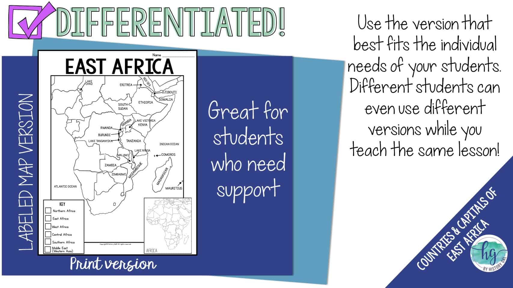
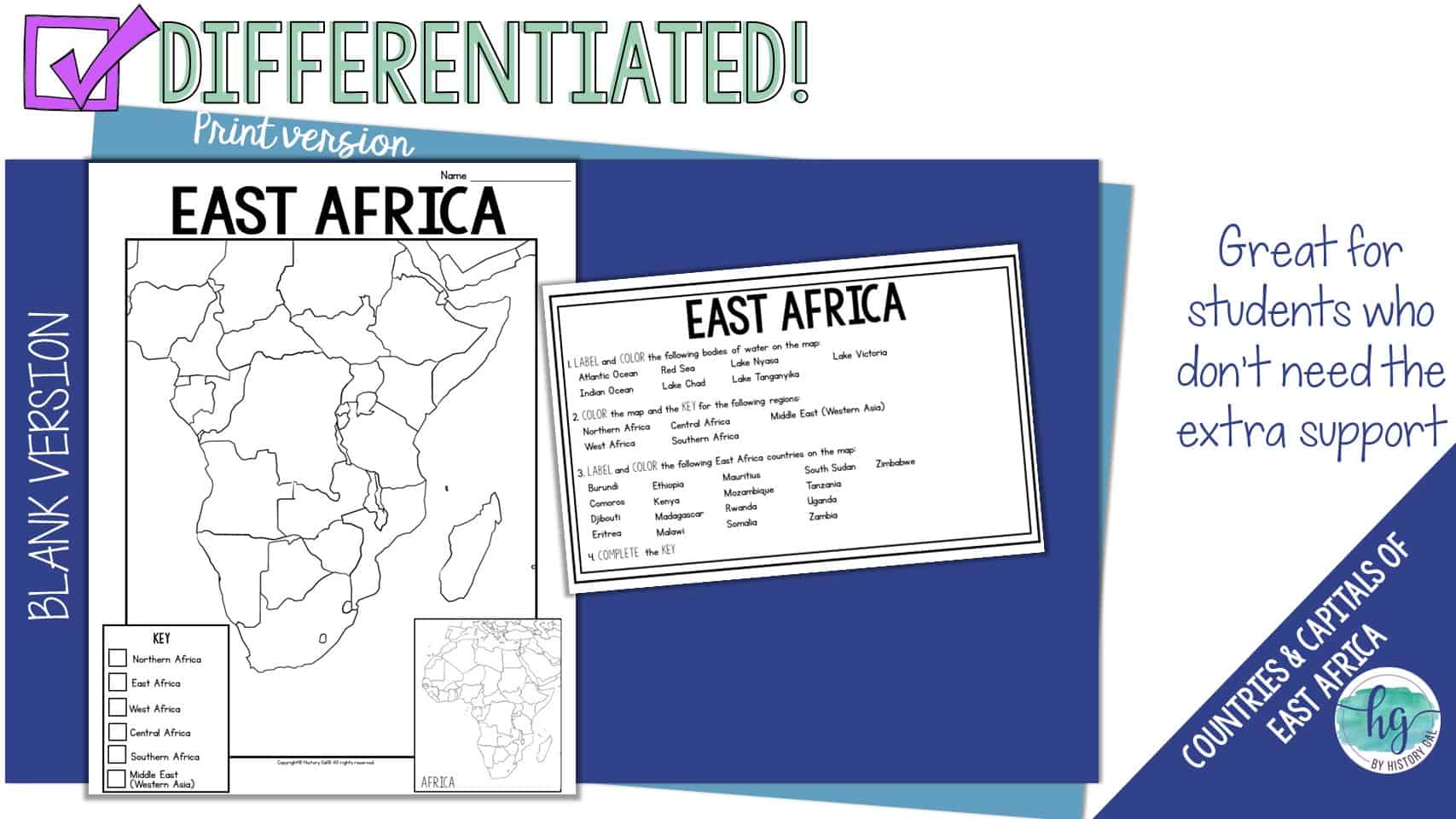
*Blank map for students to label (2 pages, uneditable PDF)
*Labeled map for students to color (1 page, uneditable pdf)
*Answer key for map (1 page, uneditable pdf)
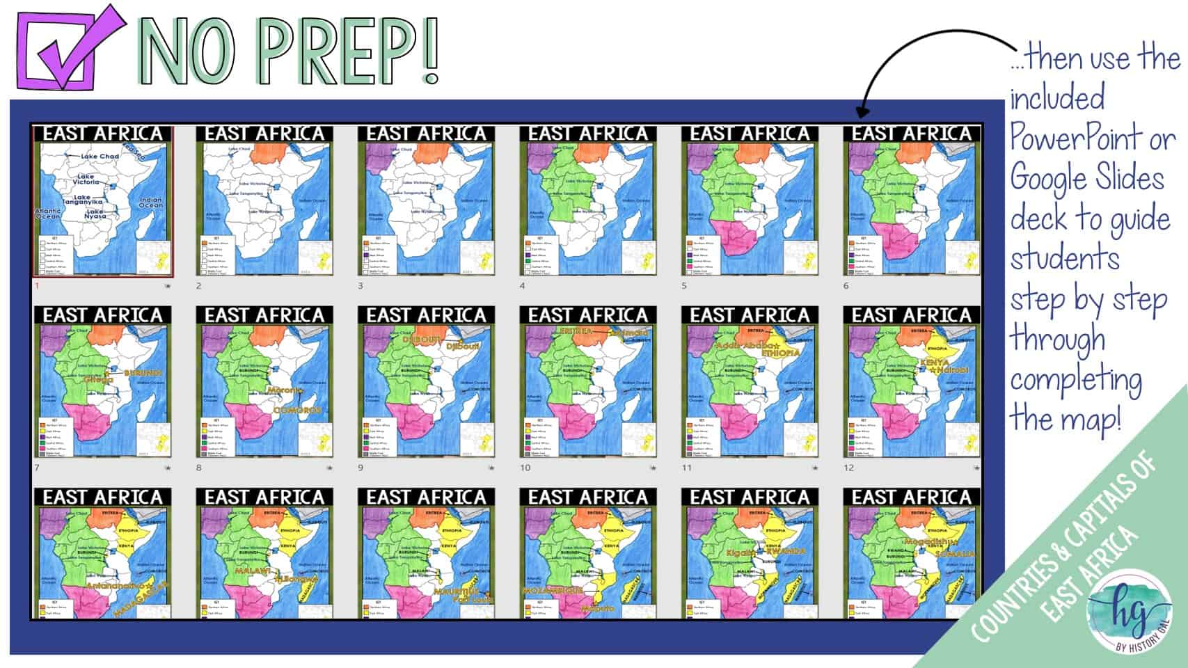
*Animated PowerPoint presentation guides students through completing the map shows (24 slides, most text is editable but images are not)
*Capitals handout with word bank (2 pages, uneditable PDF)
*Capitals handout without a word bank (2 pages, uneditble PDF)
What’s included with the Digital Versions:
*Blank map for students to label (students will drag labels to the correct spot on the map; PowerPoint & Google Slides versions; not editable)
*Animated Google Slides presentation to guide students through completing the map (24 slides, most text is editable but images are not)
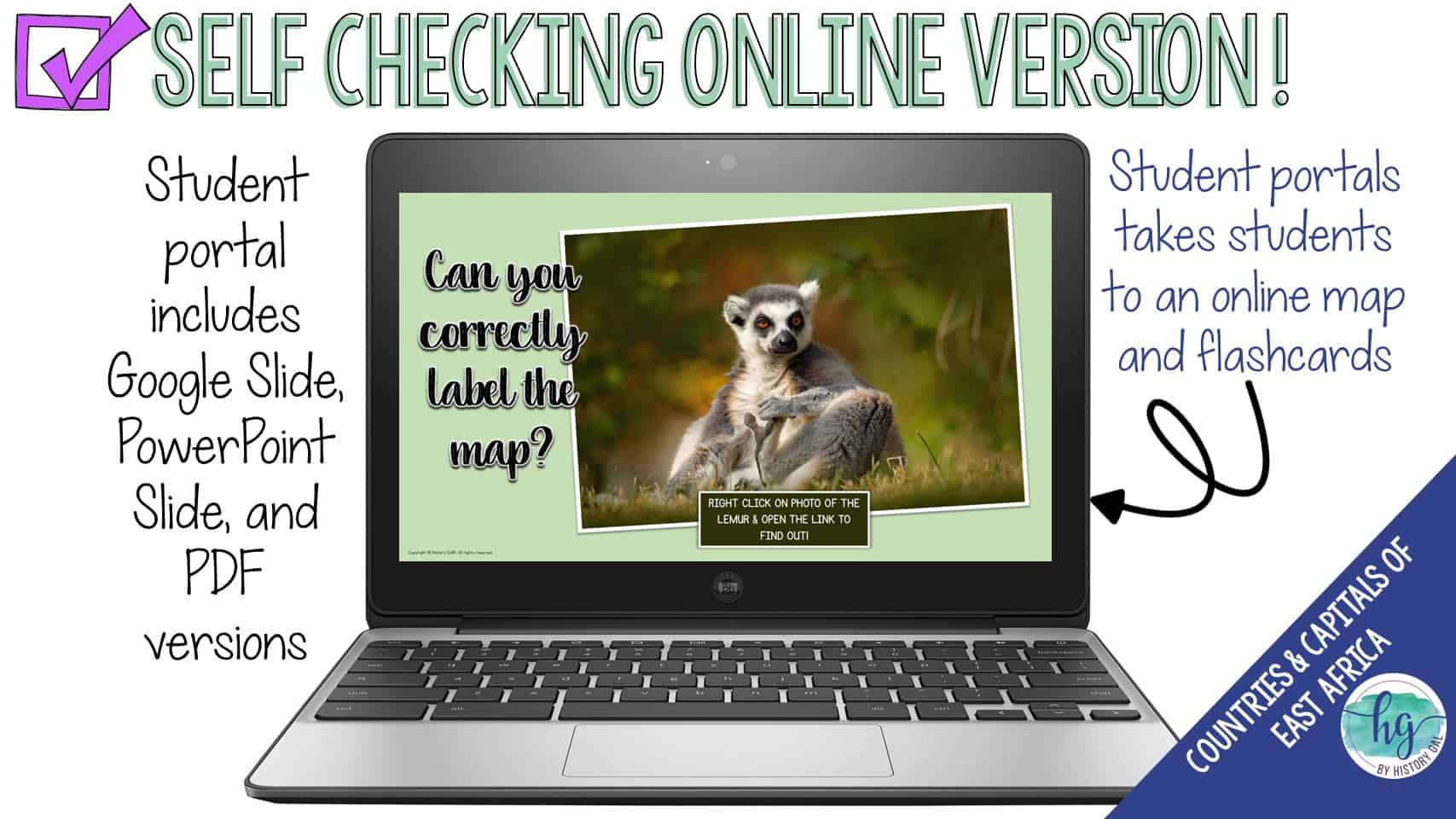
*Online Map lets students test their knowledge of locations (internet connection is required to access, works on all browsers and with all devices, no account and no logins required, self-checking)
*Digital Capitals handout with word bank (2 pages, PowerPoint, Google Slides, and fillable PDF versions; students drag and drop the capitals in PowerPoint & Google Slides and type into the fillable PDF))
*Digital Capitals handout without a word bank (1 page, students type their answers into the PowerPoint, Google Slides or PDF version)
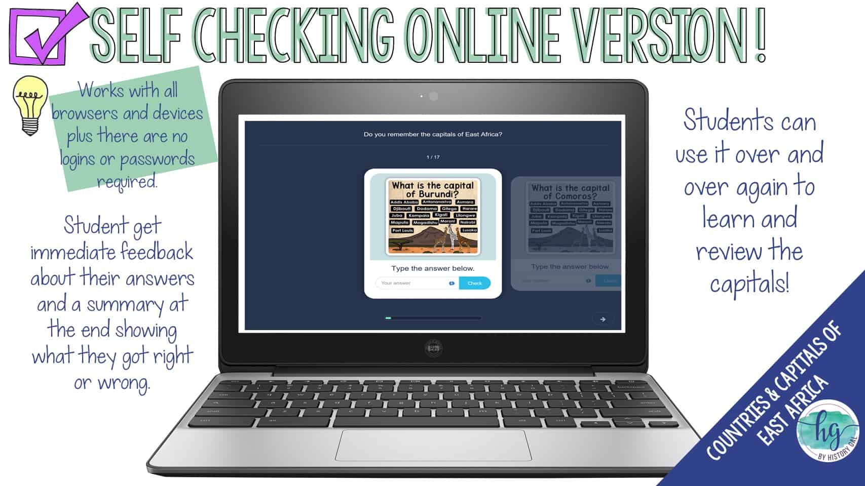
*Online Flashcards let students test their knowledge of the capitals (internet connection is required to access, works on all browsers and with all devices, no account and no logins required, self-checking)
Questions? Check out the FAQs.
Copyright © History Gal. All rights reserved by author.
Personal classroom use only.

&url=https://byhistorygal.com/product/europe-countries-and-capitals-map-activity-northern-eastern-western-and-southern-europe/&media=https://byhistorygal.com/wp-content/uploads/2022/02/History-Gal_Cover-Europe-Map-Activity-Bundle.jpg)
&url=https://byhistorygal.com/product/countries-and-capitals-of-the-world-map-activity-bundle-print-and-digital/&media=https://byhistorygal.com/wp-content/uploads/2022/10/History-Gal_Cover-Bundle-Countries-Capitals-4.jpg)
&url=https://byhistorygal.com/product/world-map-activity-print-and-digital/&media=https://byhistorygal.com/wp-content/uploads/2022/09/History-Gal_Cover-World-Map-Activity.jpg)
Reviews
There are no reviews yet.