
Description
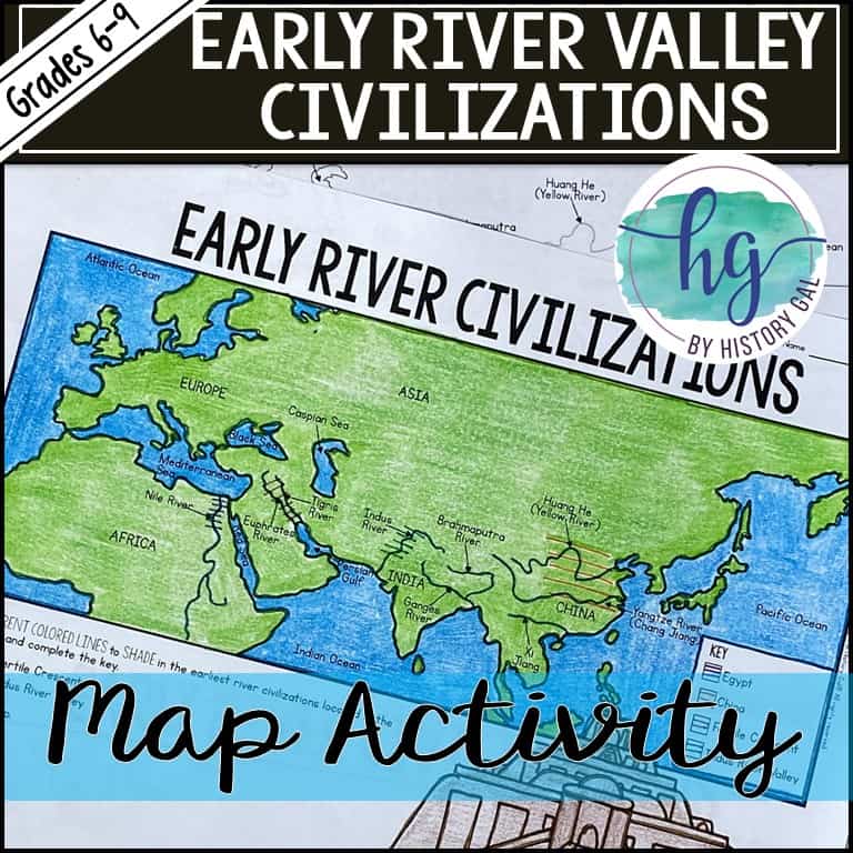
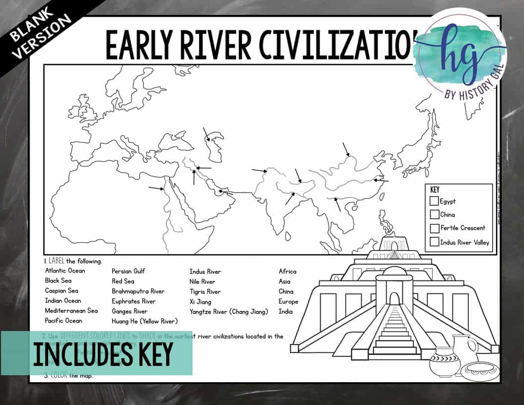
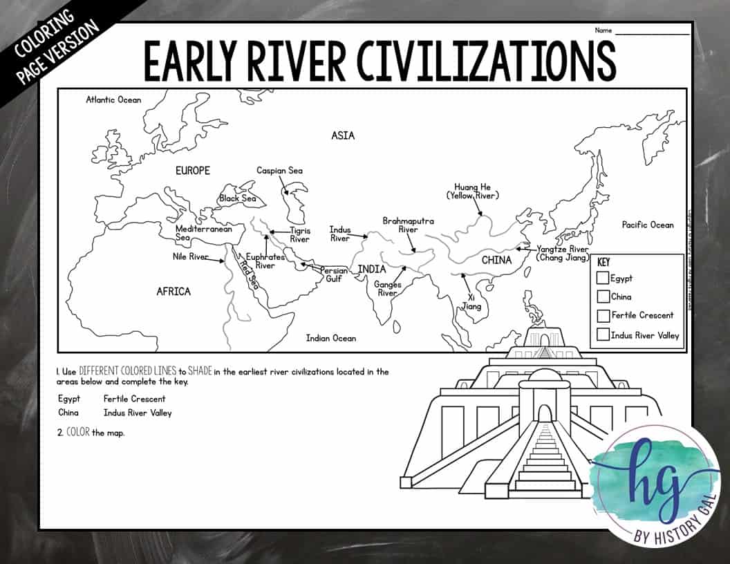
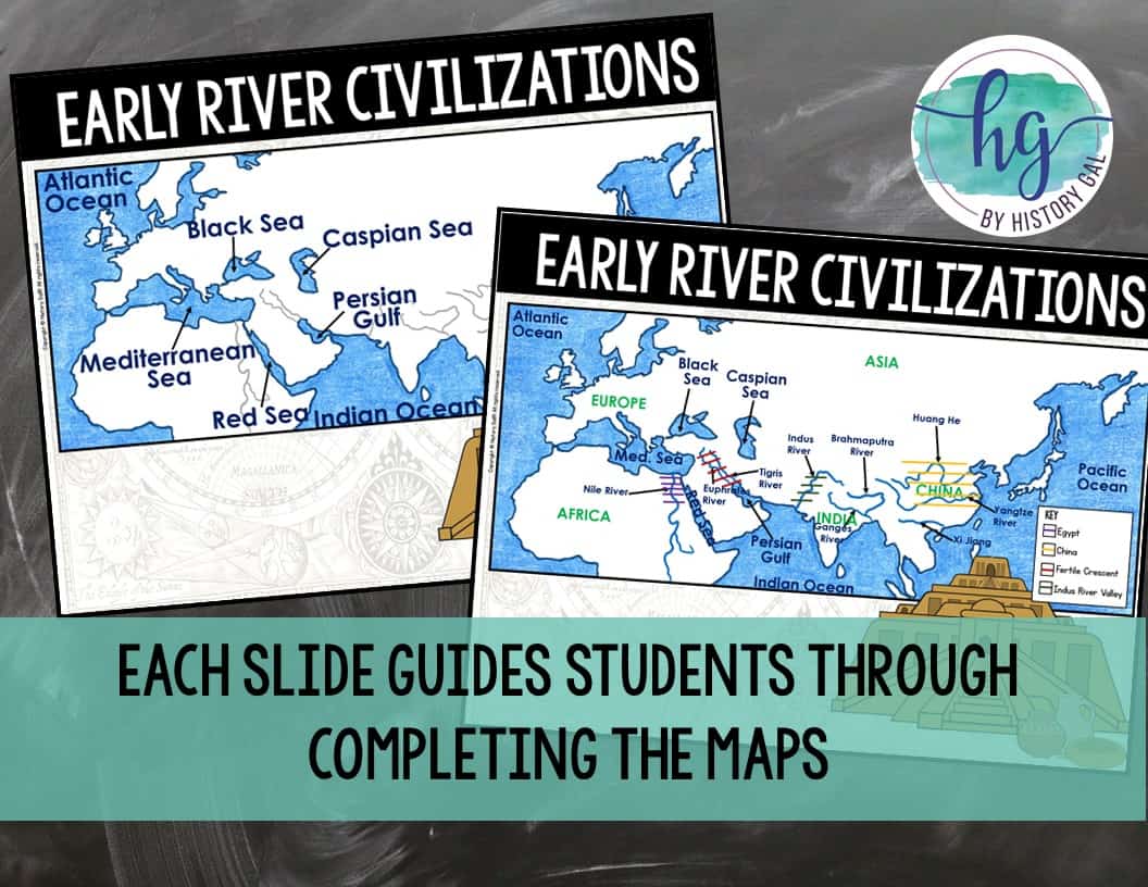
Students will label and color a map to help them visualize where the earliest civilizations settled. Students will label important rivers such as the Brahmaputra, Ganges, and Indus; Nile; Tigris and Euphrates; and Huang He (Yellow River), Yangtze (Chang Jiang) and Xi Jiang along with other major bodies of water and then show where the earliest civilizations settled.
What’s Included with the Printed Map:
*Blank map (1 page, uneditable PDF)
*Map for students to just color (1 page, uneditable pdf,)
*Answer key for map (1 pages, uneditable pdf,)
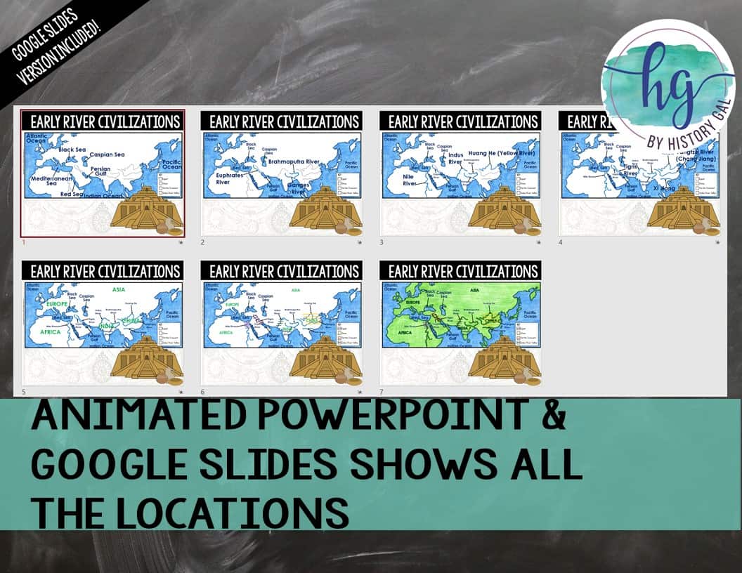
*Animated PowerPoint shows each location and the key – perfect for classrooms without textbooks or Internet access (7 slides, each slide guides students through completing the map, text is editable but images are not)
What’s included with the Digital Versions:
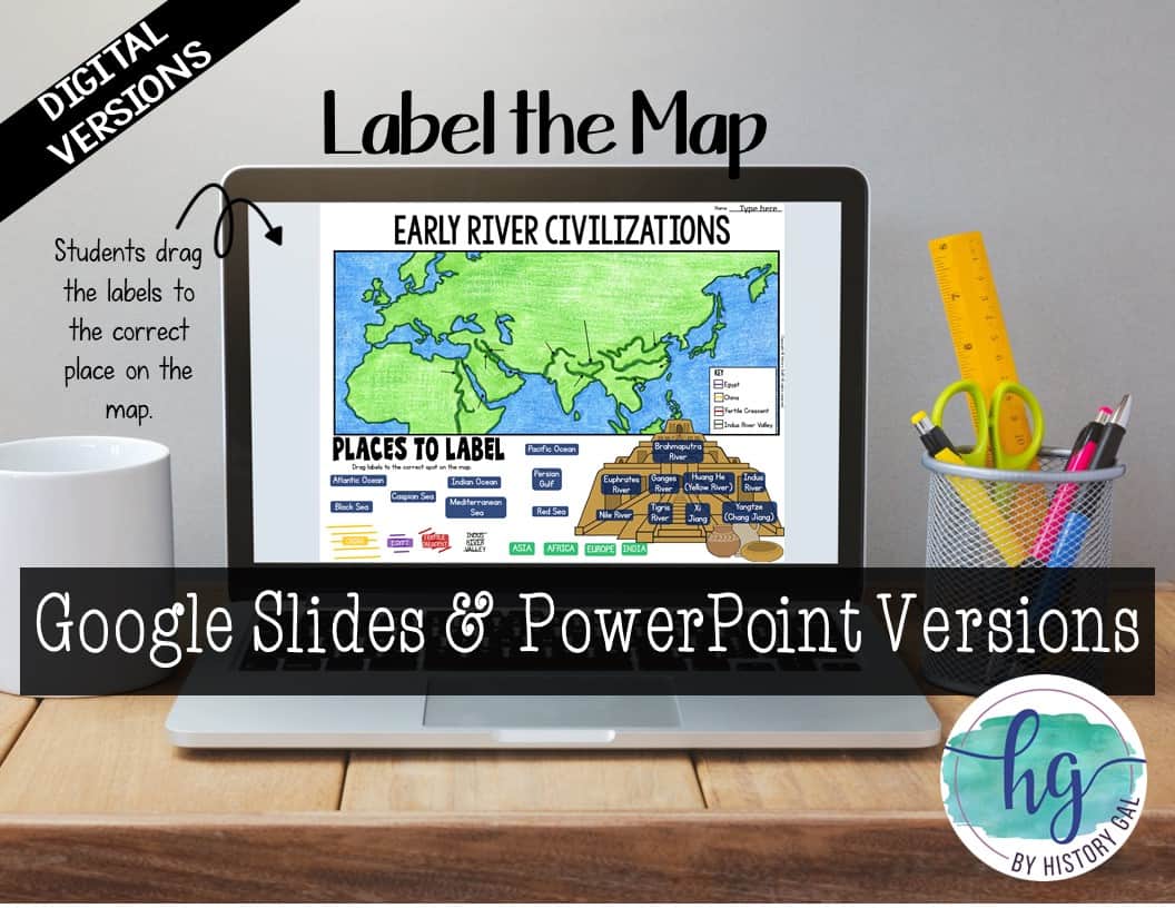
*Map for students to label (students will drag labels to the correct spot on the map and complete the key; PowerPoint & Google Slides versions; not editable; includes versions with and without questions)
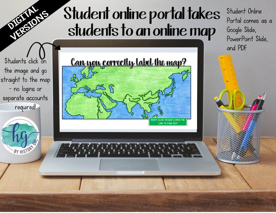
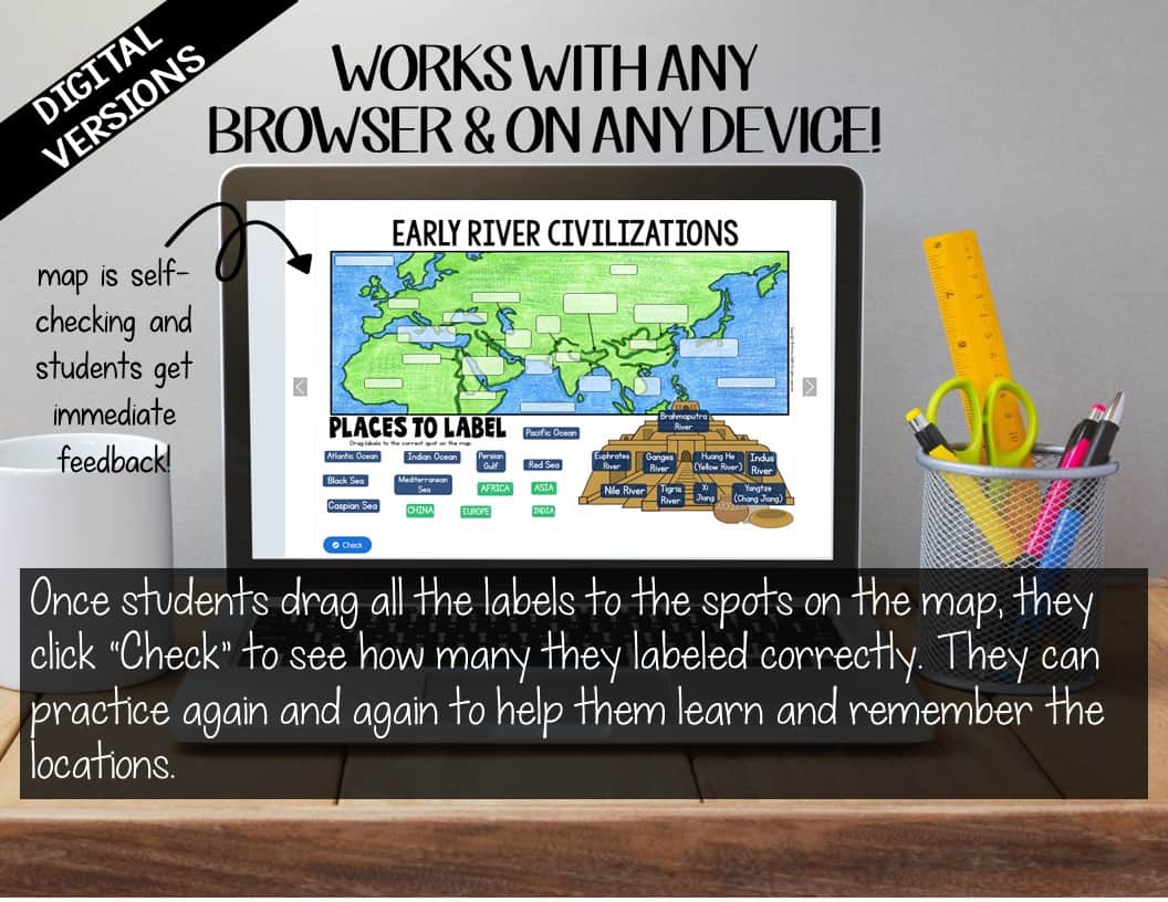
*Online Map lets students test their knowledge of locations (internet connection is required to access, works on all browsers and with all devices, no account and no logins required, self-checking)
⚠️ Please note: This is offered as a digital download. It will not be shipped.
Questions? Check out the FAQs.
Copyright © History Gal. All rights reserved by author.
Personal classroom use only.







&url=https://byhistorygal.com/product/early-river-valley-civilizations-map-activity-print-and-digital/&media=https://byhistorygal.com/wp-content/uploads/2021/09/History-Gal_Cover-Early-River-Valleys-Map-Activity.jpg)

&url=https://byhistorygal.com/product/ancient-greece-map-activity-print-and-digital/&media=https://byhistorygal.com/wp-content/uploads/2021/10/History-Gal_Cover-Ancient-Greece-Map-1.jpg)
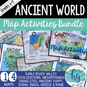
&url=https://byhistorygal.com/product/ancient-world-map-activities-bundle-early-river-civilization-to-ancient-rome/&media=https://byhistorygal.com/wp-content/uploads/2022/09/History-Gal_Cover-Ancient-World-Map-Bundle-1.jpg)


