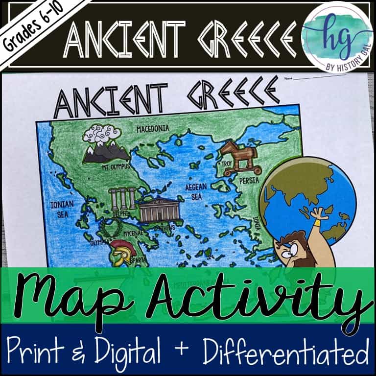
Description
Need a no prep map for Ancient Greece? This mapping activity will help students better understand the geography of Greece and its impact on Ancient Greek civilizations. This download is all you need to add geography and mapping skills to your lesson. It’s full of options from differentiated maps versions, step-by-step PowerPoint & Google Slides decks that students use to complete their maps, a reading passage with questions on the geography of Ancient Greece & its impact on early Greeks & more as well as print & digital options. There’s even a self-checking online map that students can use!
✅ Print & Digital Map Versions
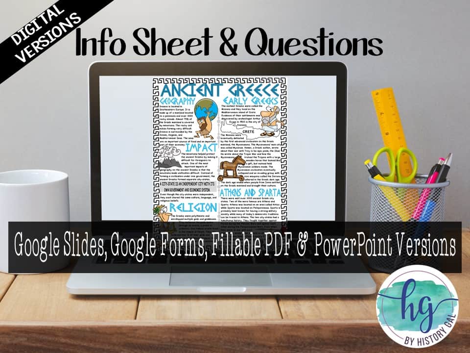
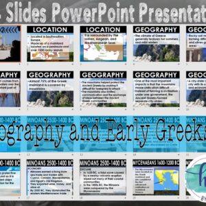
✅ Reading Passage & Questions on the Geography of Ancient Greece, its impact on early Greeks, Greek religion, Early Greeks, Athens & Sparta
✅ Differentiated Options
✅ PowerPoint & Google Slides Decks
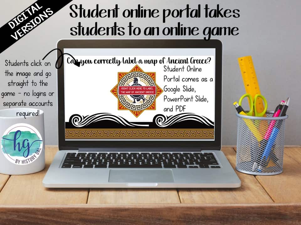
✅ Link to Self-Checking Online Map
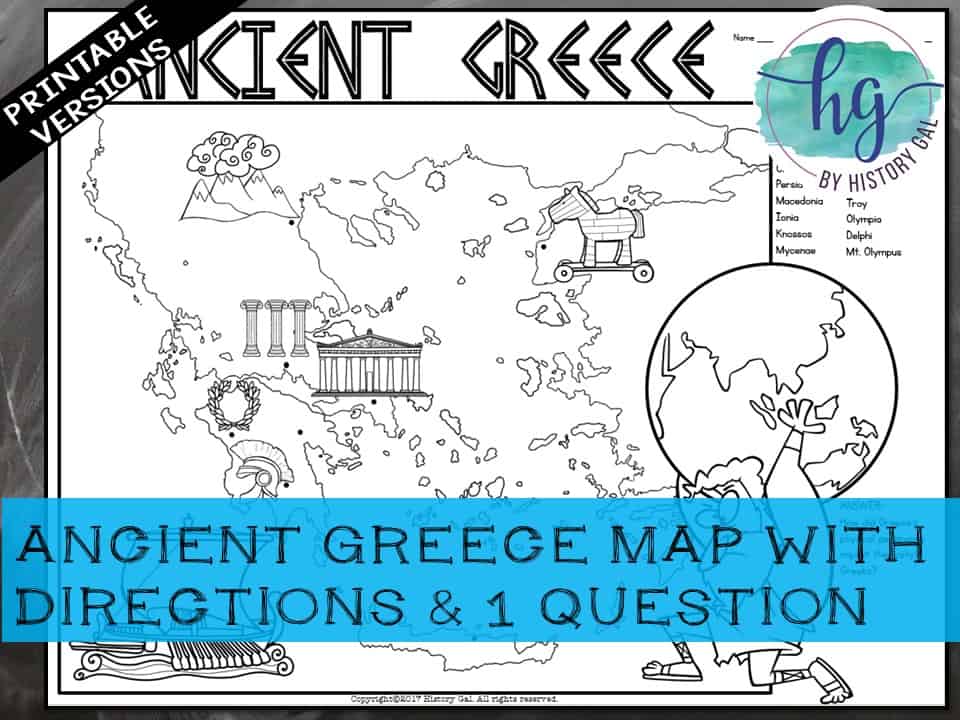
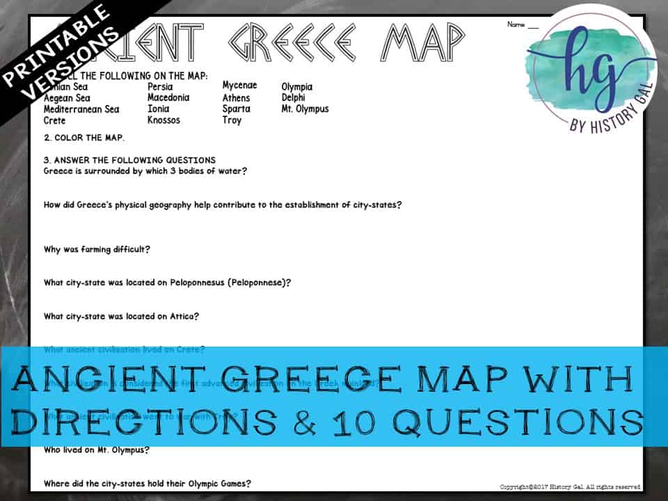
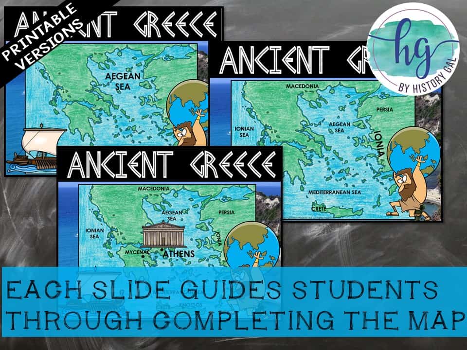
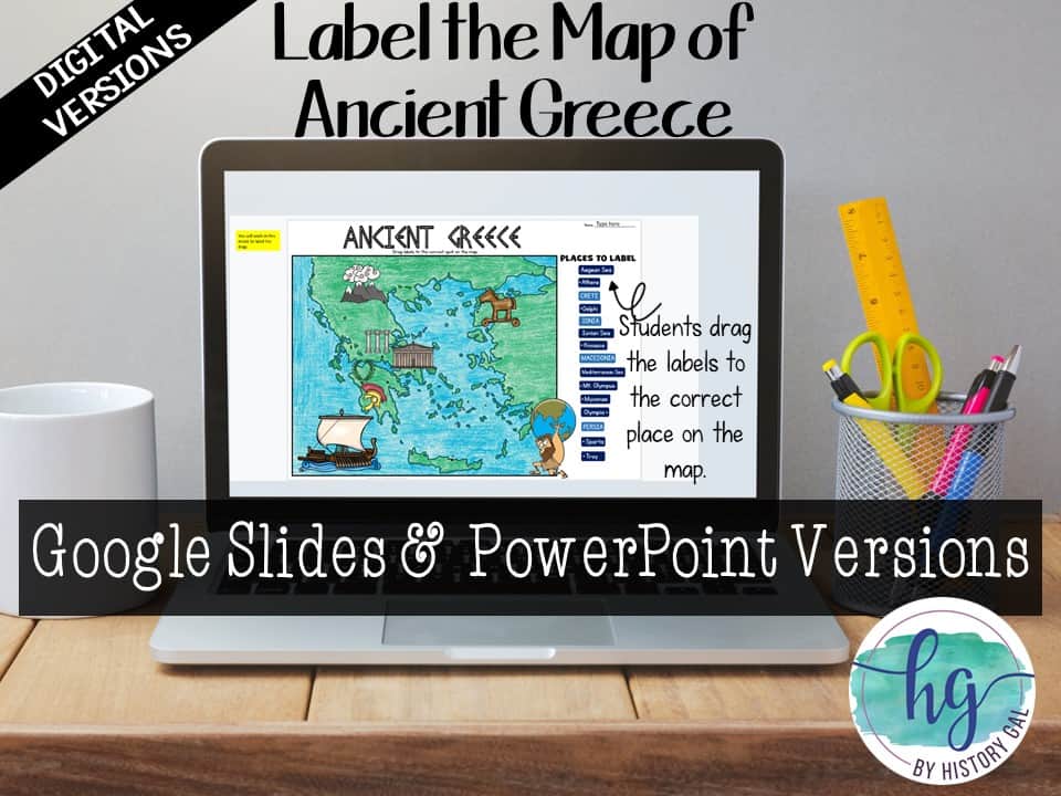
Students will label the following:
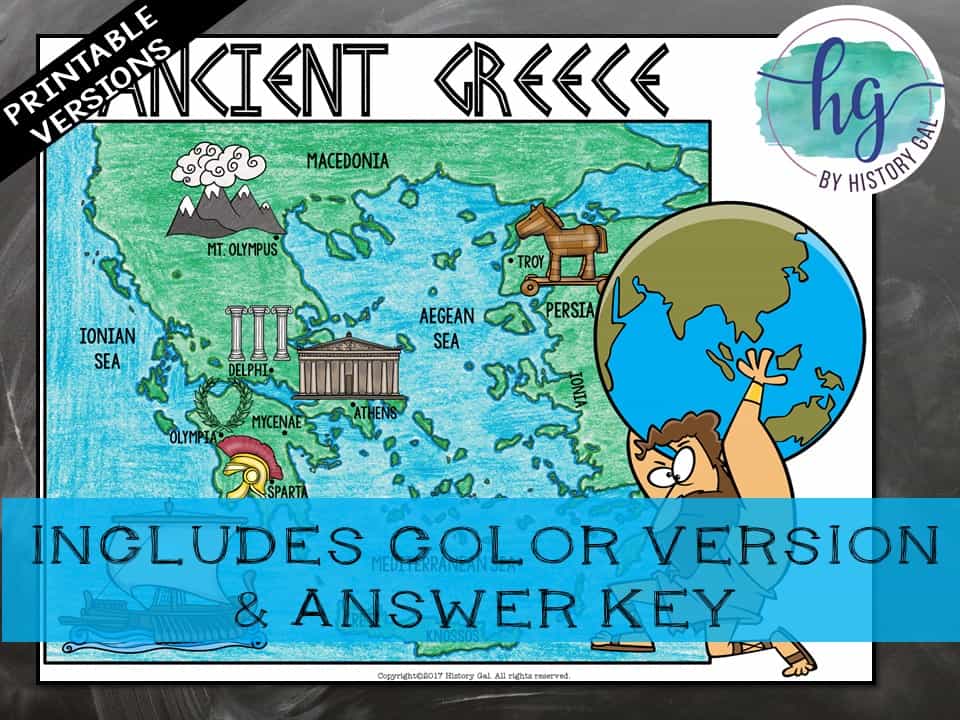
Ionian Sea, Aegean Sea, Mediterranean Sea, Crete, Persia, Macedonia, Ionia, Knossos, Mycenae, Athens, Sparta, Troy, Olympus, Delphi, Mt. Olympus
What’s included with the Printed Versions:
*Ancient Greece map for students to label, color, and answer 10 questions (1 page map, 1 page directions/questions, uneditable pdf)
*Ancient Greece map for students to label, color, and with just 1 question to answer (1 page, uneditable pdf)
*Map Key (2 pages, uneditable pdf)
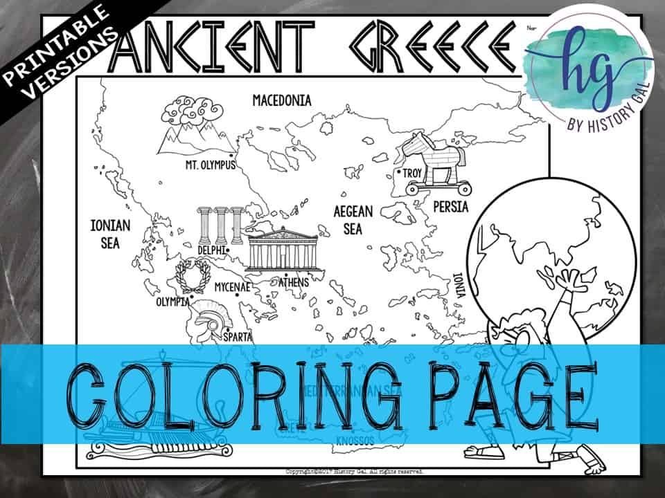
*Ancient Greece map Coloring Page (1 page, uneditable pdf)
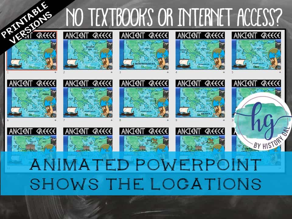
*Animated PowerPoint shows each location and is perfect for classrooms without textbooks or Internet access (16 slides, each slide guides students through completing the map, some text is editable but images are not)
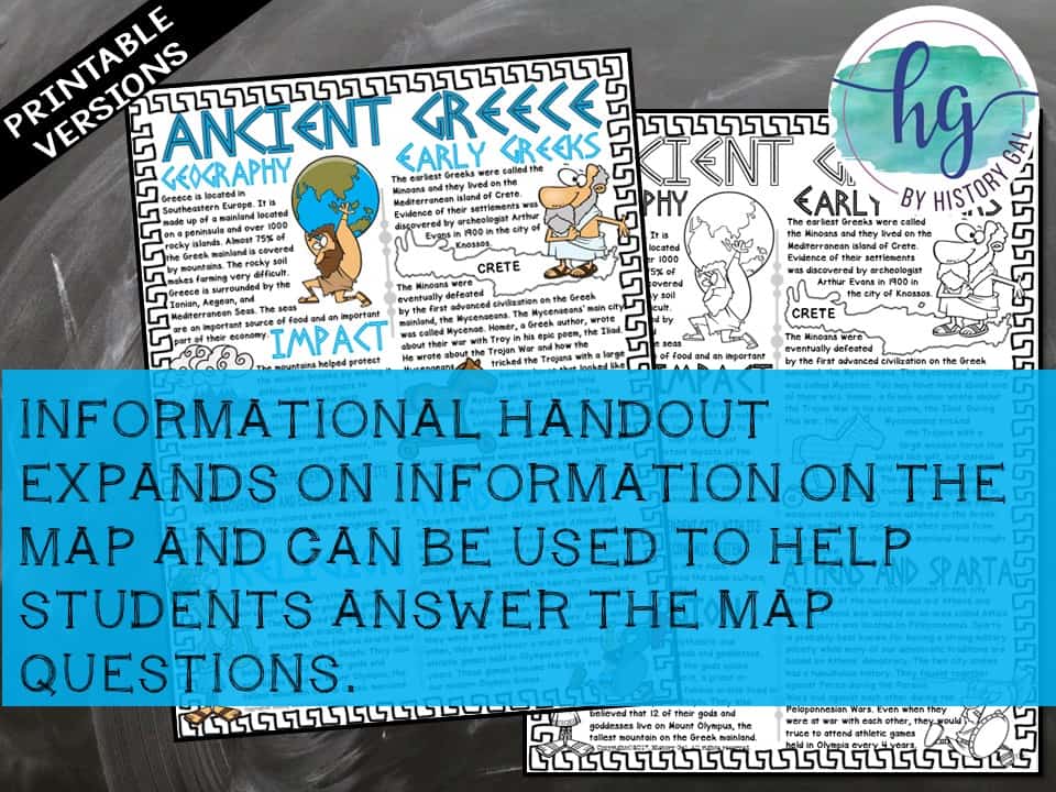
*Informational handout expands on information on the map and can be used to help students answer the map questions if you do not have a textbook or Internet access (1 page, uneditable pdf)
What’s included with the Digital Versions:
*Ancient Greece Map for students to label (students will drag labels to the correct spot on the map; PowerPoint & Google Slides versions; not editable)
*Info Sheet and Questions for students to answer (students will type their answers into text boxes; PowerPoint, Google Slides, Google Form, and Fillable PDF versions; not editable)
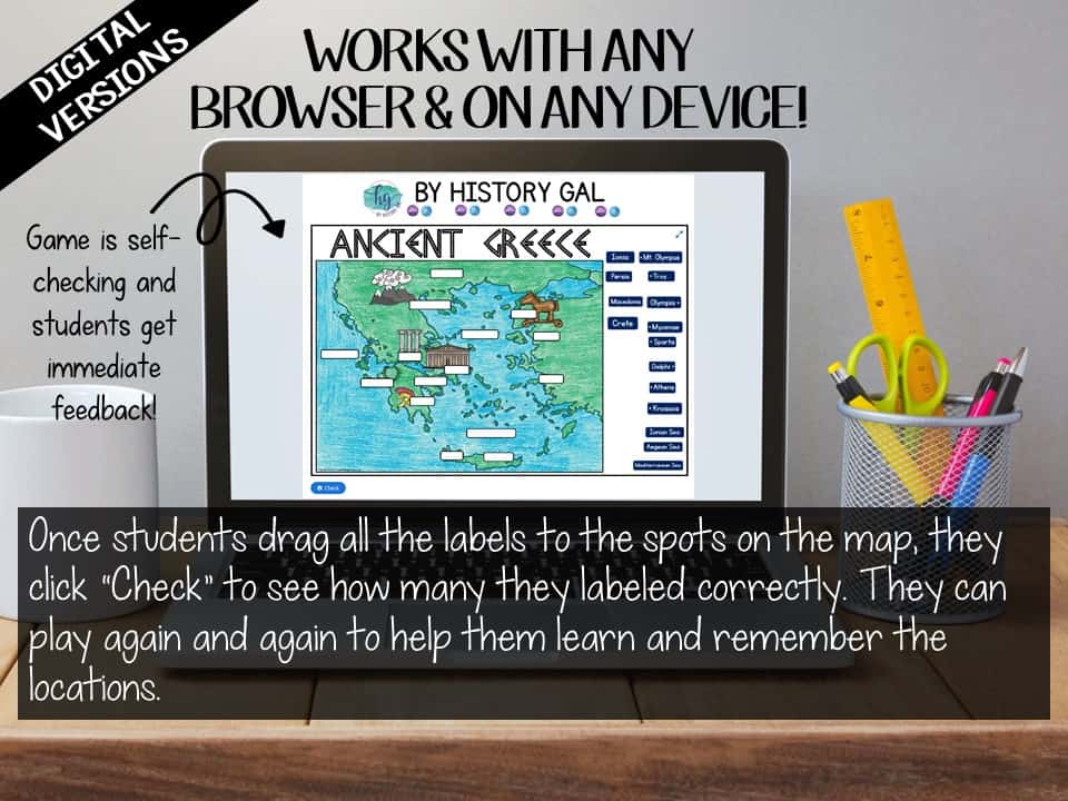
*Online map lets students test their knowledge of locations in Ancient Greece (internet connection is required to access, works on all browsers and with all devices, no account and no logins required, self-checking)
Questions? Check out the FAQs.


&url=https://byhistorygal.com/product/ancient-greece-map-activity-print-and-digital/&media=https://byhistorygal.com/wp-content/uploads/2021/10/History-Gal_Cover-Ancient-Greece-Map-1.jpg)
&url=https://byhistorygal.com/product/ancient-world-map-activities-bundle-early-river-civilization-to-ancient-rome/&media=https://byhistorygal.com/wp-content/uploads/2022/09/History-Gal_Cover-Ancient-World-Map-Bundle-1.jpg)
%20D-Day%20Bingo%20Freebie!&url=https://byhistorygal.com/product/world-war-ii-wwii-d-day-bingo-freebie/&media=https://byhistorygal.com/wp-content/uploads/2020/02/History-Gal_Cover-D-Day-Bingo-1.jpg)
Reviews
There are no reviews yet.