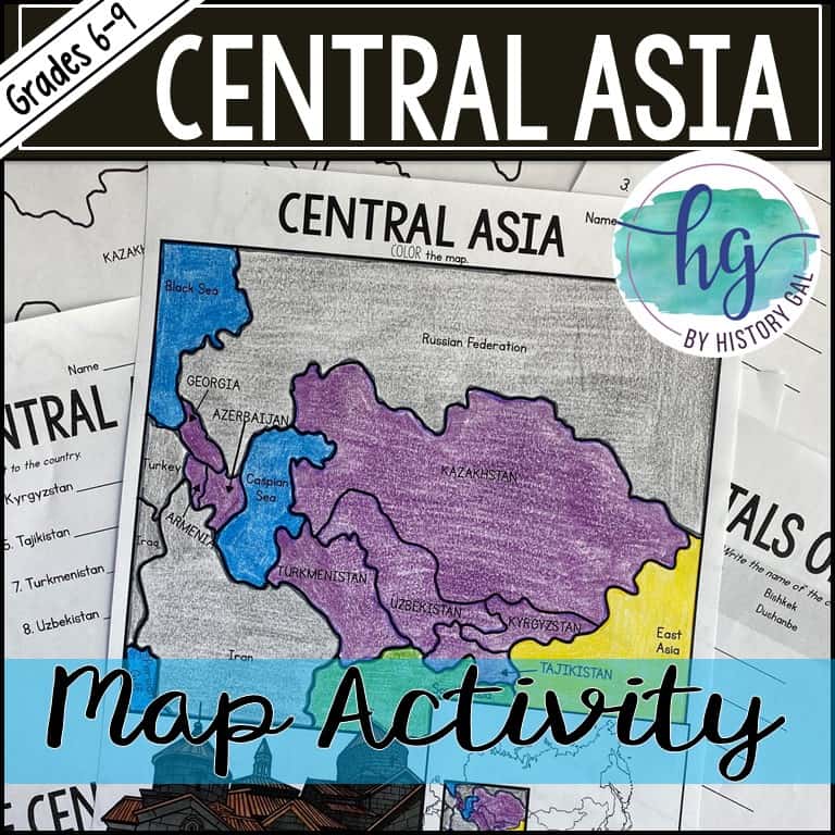
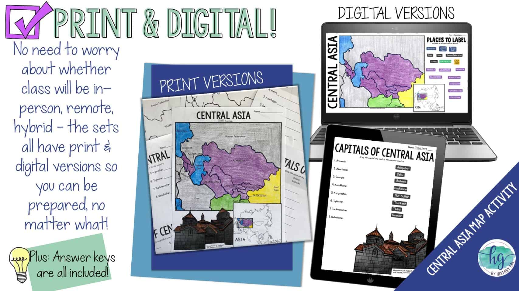
Description
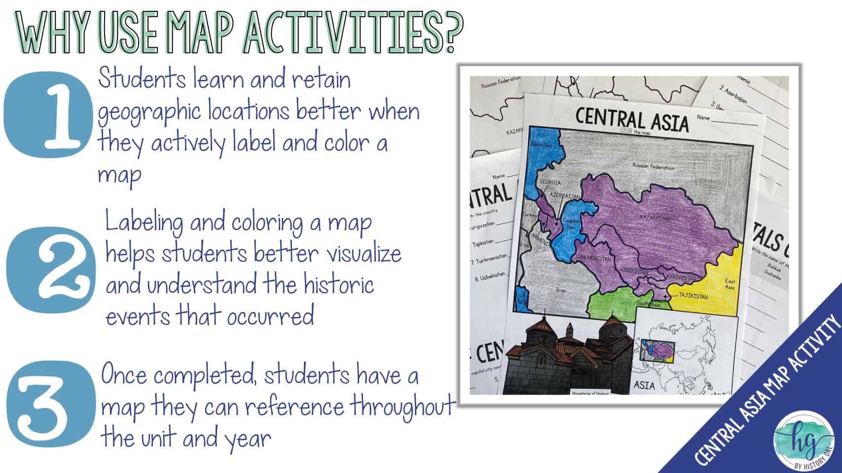
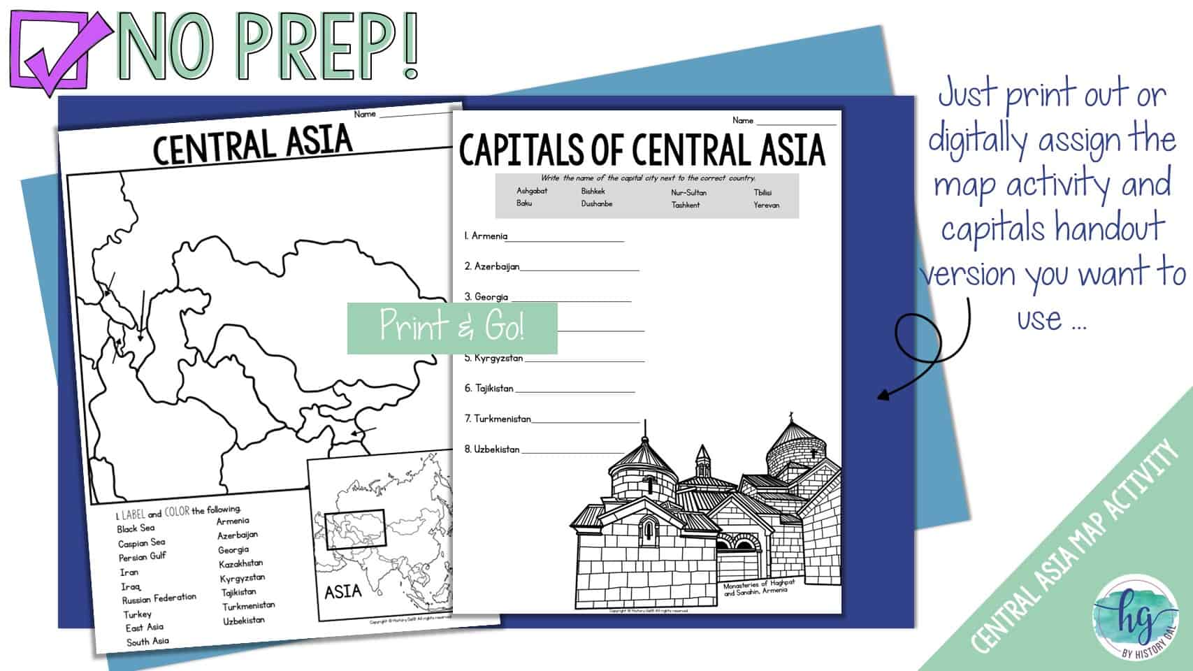
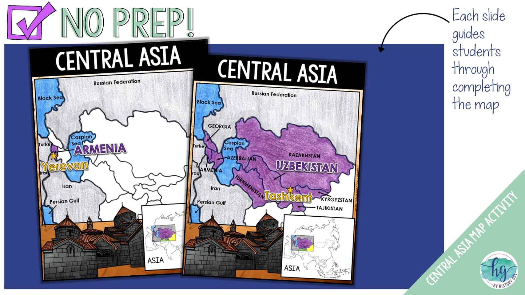
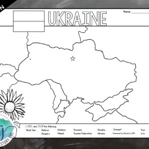
Students will label a map of Central Asia which includes the Asian countries of Armenia, Azerbaijan, Georgia, Kazakhstan, Kyrgyzstan, Tajikistan, Turkmenistan, and Uzbekistan. They will also label the neighboring countries of Iran, Iraq, Russian Federation, Turkey and the Black Sea, Caspian Sea, Mediterranean Sea, Persian Gulf, and Red Sea. Lastly, to further help students remember the capitals of the countries located in Central Asia, students will write the capitals down on a handout. This handout can be used again as a quiz. This download also includes digital versions so it is easy to use with hybrid classes and remote students.
Note: Armenia, Azerbaijan, and Georgia can correctly be included both in Asia and in Europe (most have them physically in Asia, but politically in Europe). This resource includes them in the Central Asia map.
What’s Included with the Print Versions:
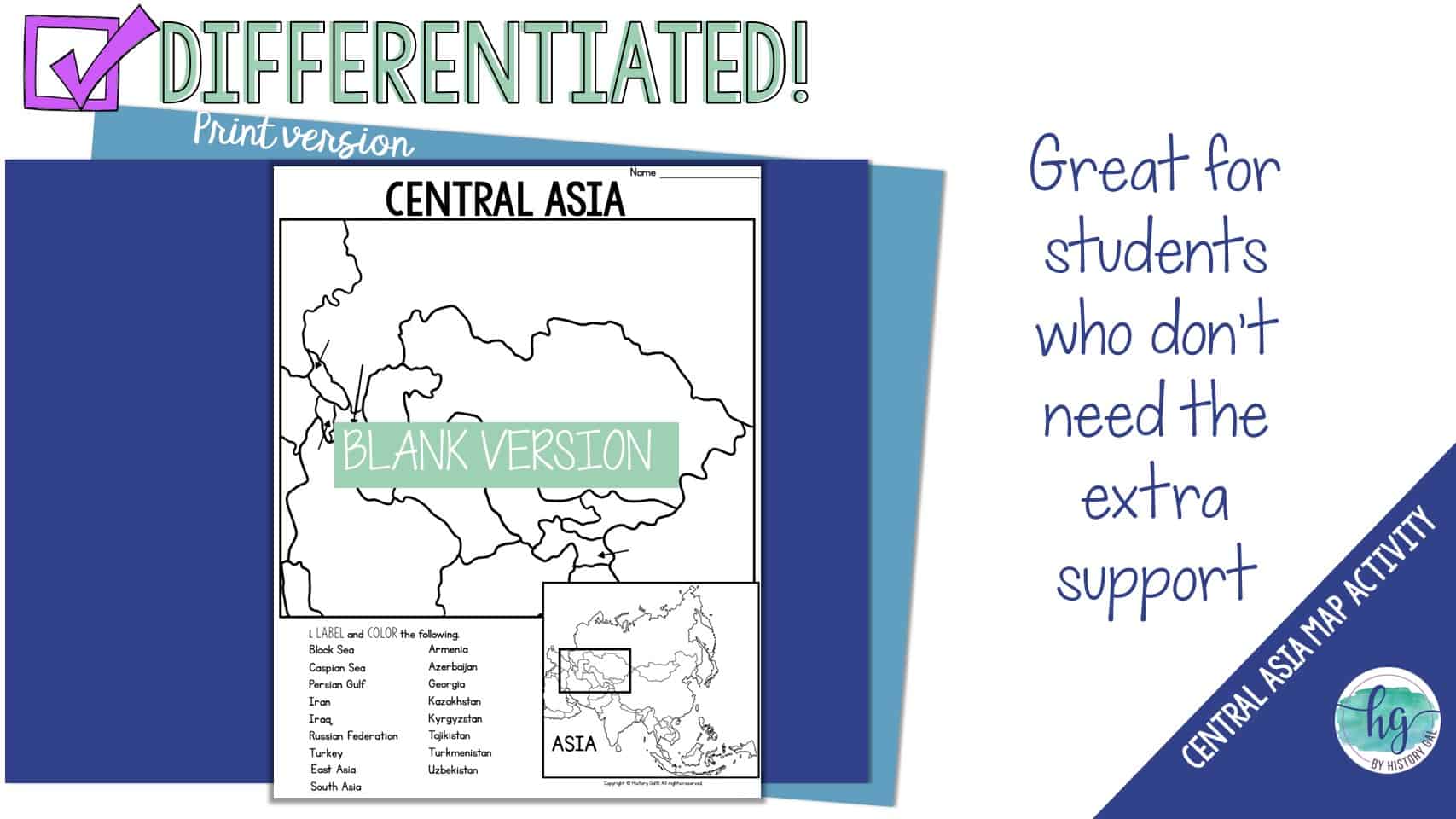
*Blank map for students to label (1 pages, uneditable PDF)
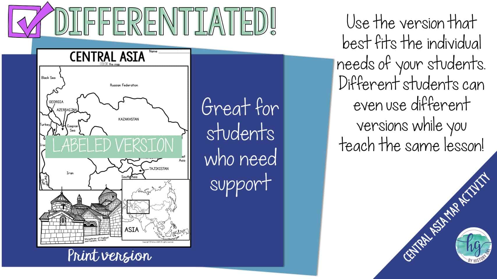
*Labeled map for students to color (1 page, uneditable pdf)
*Answer key for map (1 page, uneditable pdf)
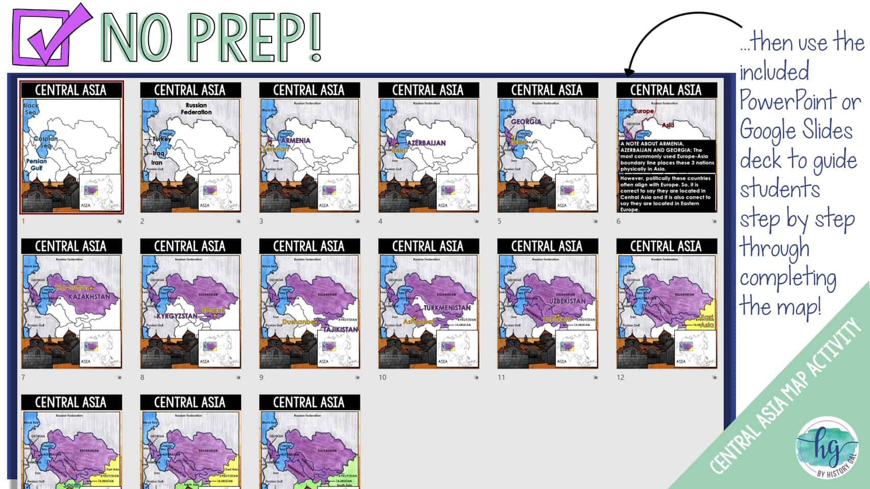
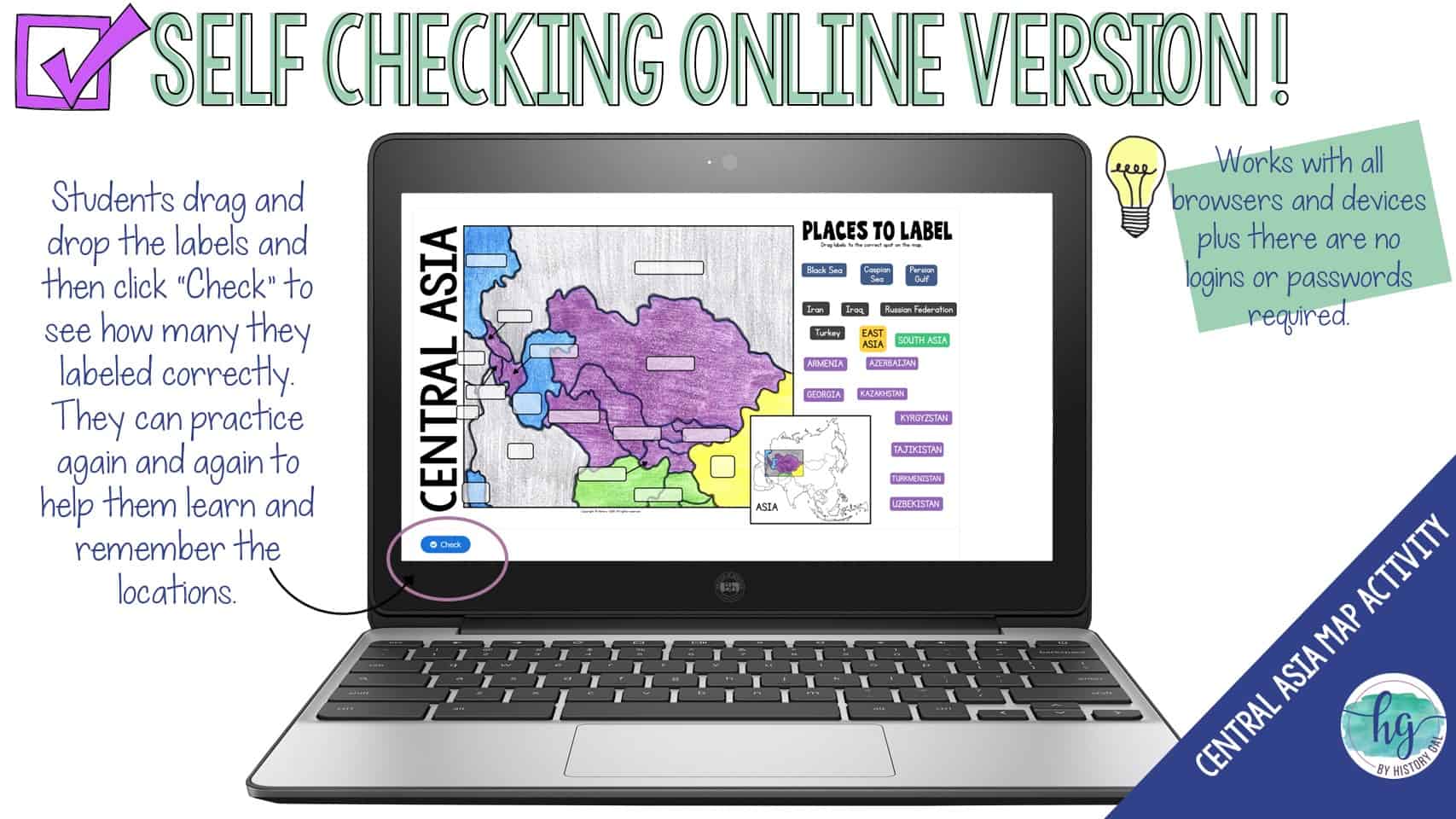
*Animated PowerPoint presentation shows each location – perfect for classrooms without textbooks or Internet access (15 slides, each slide guides students through completing the map, most text is editable but images are not)
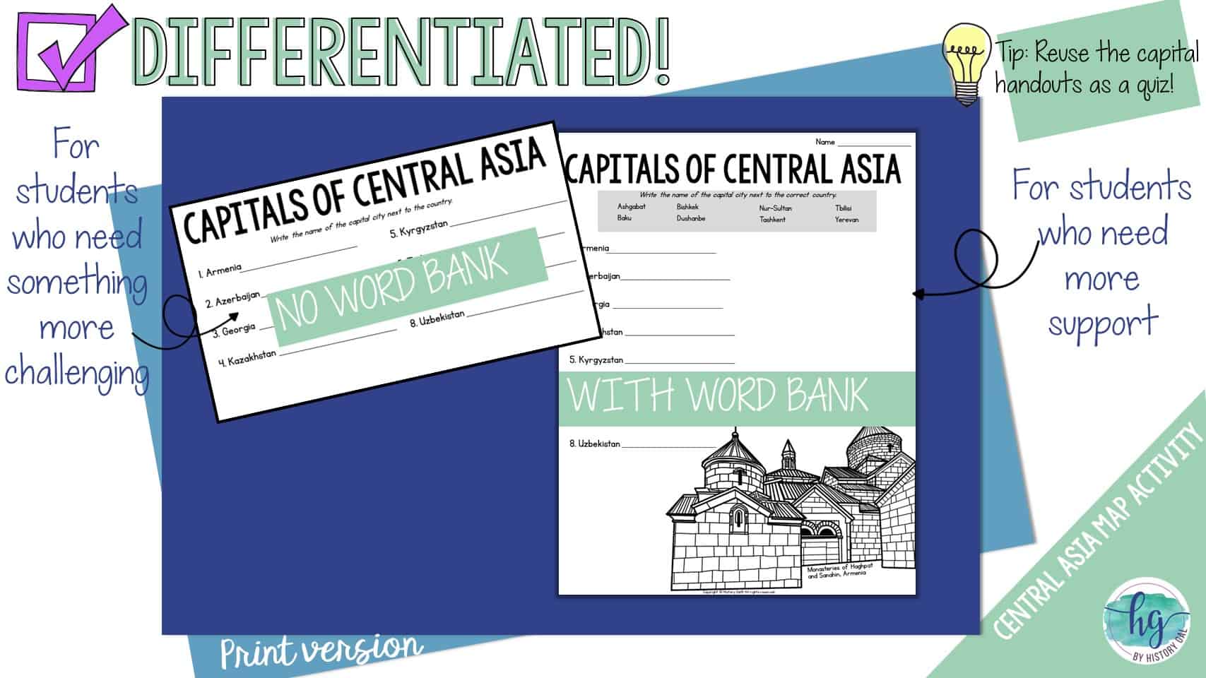
*Capitals handout with word bank (1 page, uneditable PDF)
*Capitals handout without a word bank (1 page, uneditble PDF)
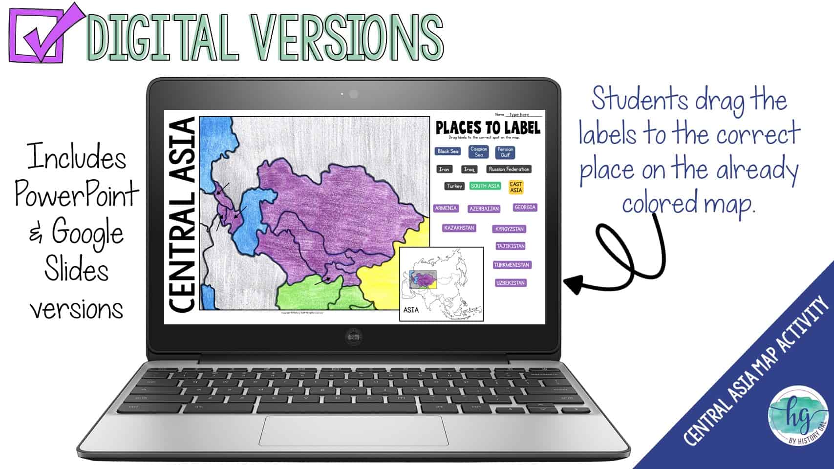
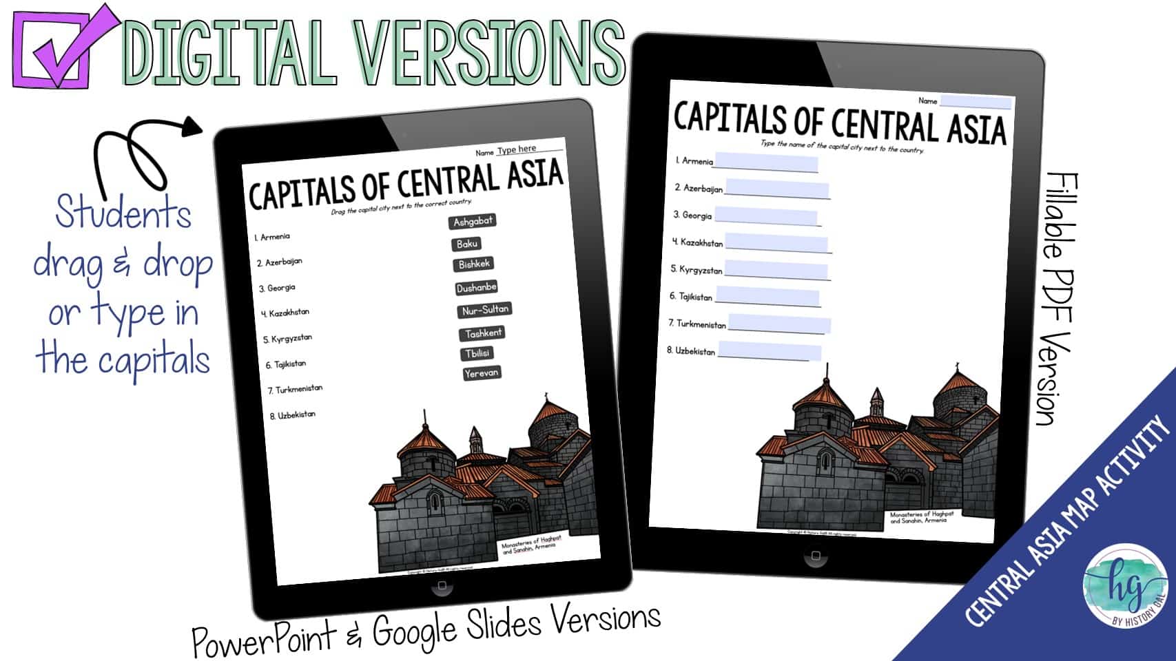
What’s included with the Digital Versions:
*Blank map for students to label (students will drag labels to the correct spot on the map; PowerPoint & Google Slides versions; not editable)
*Animated Google Slides presentation shows each location (15 slides, each slide guides students through completing the map)
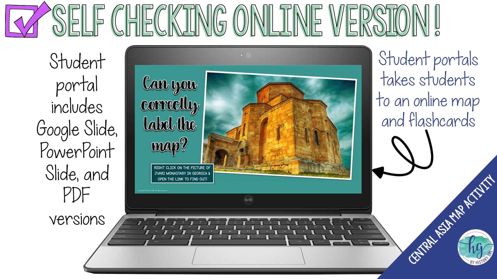
*Online Map lets students test their knowledge of locations (internet connection is required to access, works on all browsers and with all devices, no account and no logins required, self-checking)
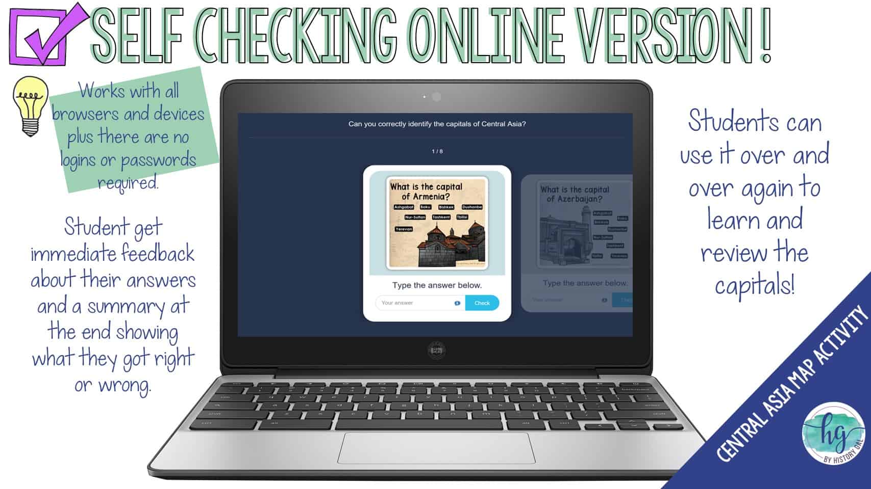
*Digital Capitals handout with word bank (1 page, PowerPoint, Google Slides, and fillable PDF versions;)
*Digital Capitals handout without a word bank (1 page, students drag and drop the capitals in PowerPoint & Google Slides and type into the fillable PDF)
*Online Flashcards let students test their knowledge of the capitals (internet connection is required to access, works on all browsers and with all devices, no account and no logins required, self-checking)
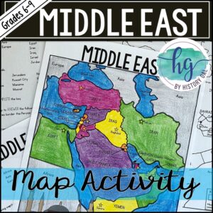
This map just covers the countries in Central Asia. If you are looking for a map with all of the countries of Asia on one map, you might like this Asia Map. If you are looking for more regional Asia maps, I also have maps for the Middle East (Western Asia), East Asia, South Asia, Southeast Asia as well as a bundle with all of the Asia maps.
Questions? Check out the FAQs.
Copyright © History Gal. All rights reserved by author.
Personal classroom use only.


&url=https://byhistorygal.com/product/countries-and-capitals-of-the-world-map-activity-bundle-print-and-digital/&media=https://byhistorygal.com/wp-content/uploads/2022/10/History-Gal_Cover-Bundle-Countries-Capitals-3.jpg)
&url=https://byhistorygal.com/product/europe-countries-and-capitals-map-activity-northern-eastern-western-and-southern-europe/&media=https://byhistorygal.com/wp-content/uploads/2022/02/History-Gal_Cover-Europe-Map-Activity-Bundle.jpg)
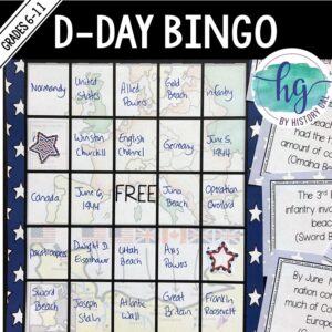
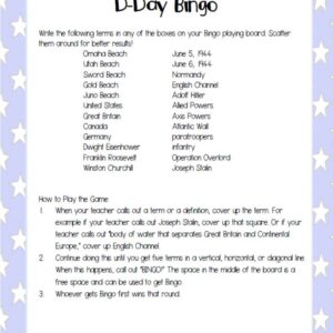
%20D-Day%20Bingo%20Freebie!&url=https://byhistorygal.com/product/world-war-ii-wwii-d-day-bingo-freebie/&media=https://byhistorygal.com/wp-content/uploads/2020/02/History-Gal_Cover-D-Day-Bingo-1.jpg)
%20Bundle&url=https://byhistorygal.com/product/american-2-bundle/&media=https://byhistorygal.com/wp-content/uploads/2021/05/History-Gal_Cover-US-1877-Present-Bundle-1.jpg)
Reviews
There are no reviews yet.