Description
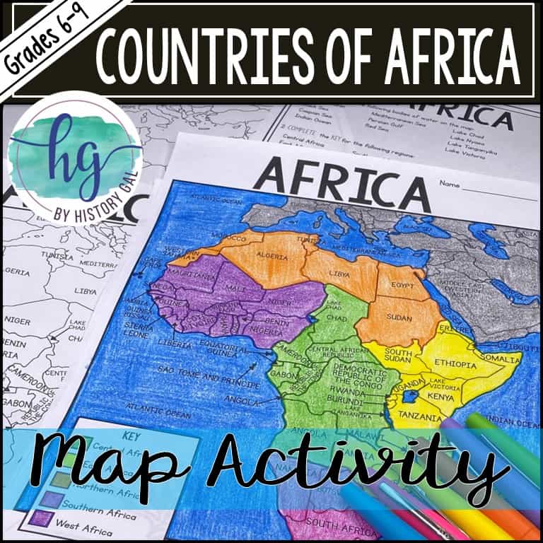
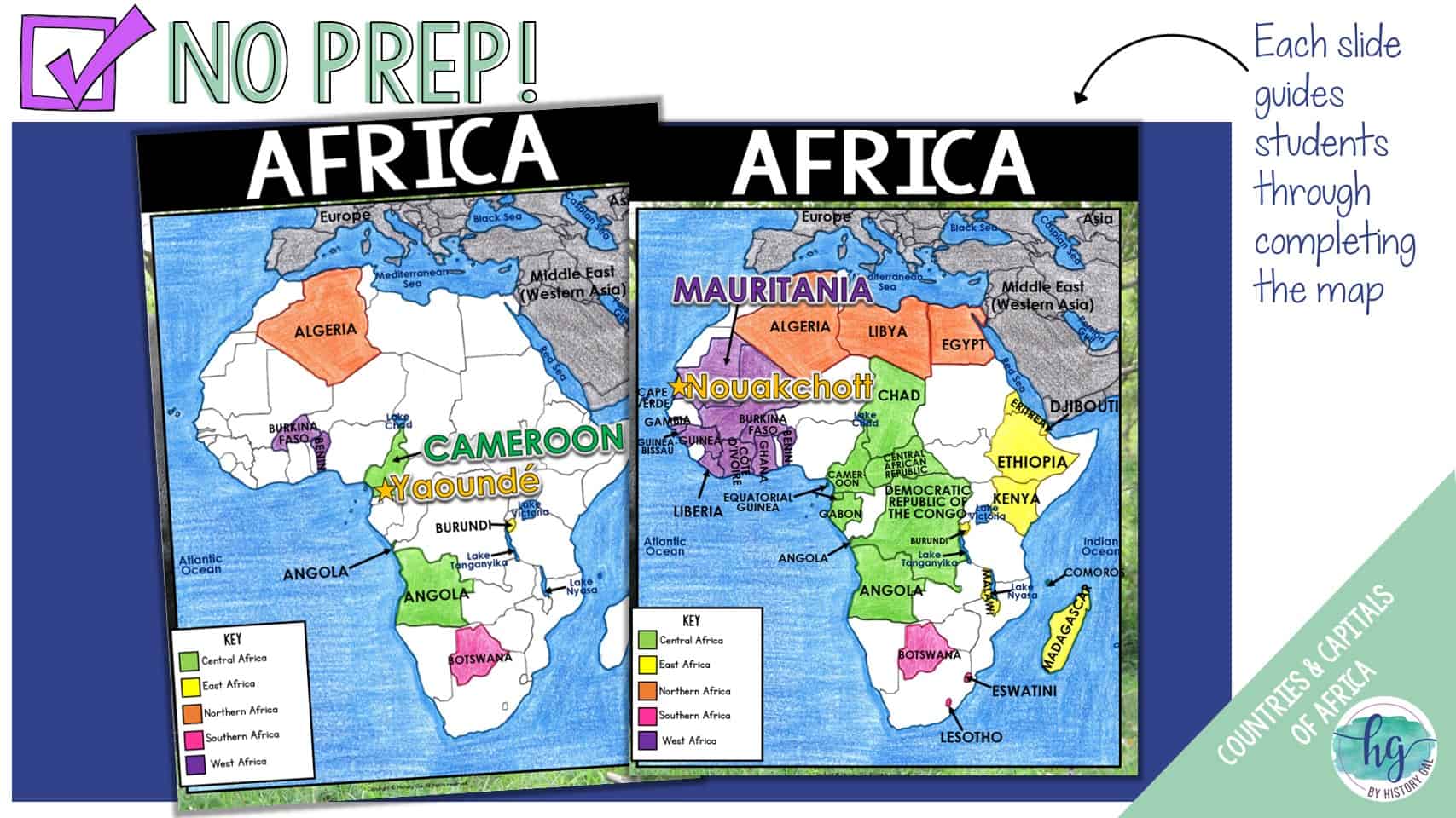
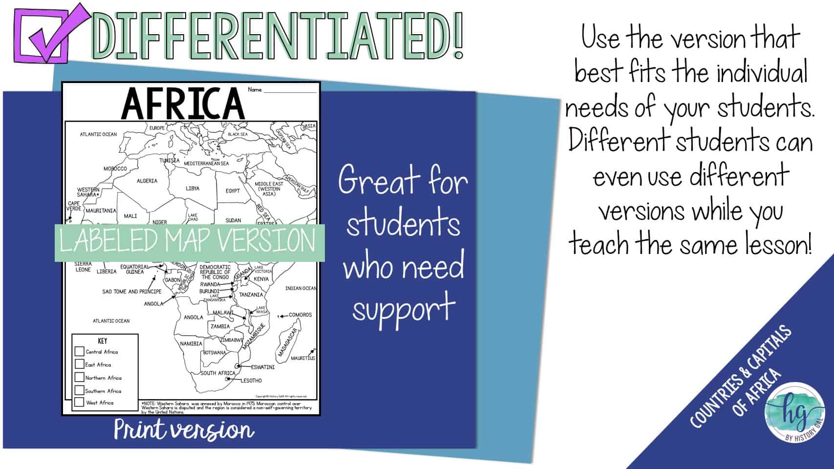
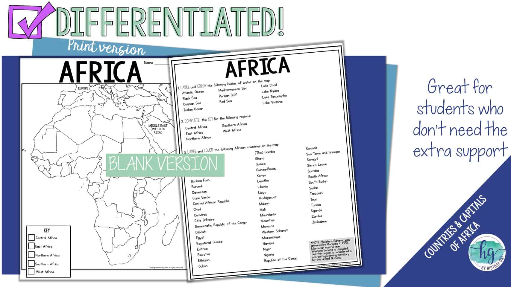
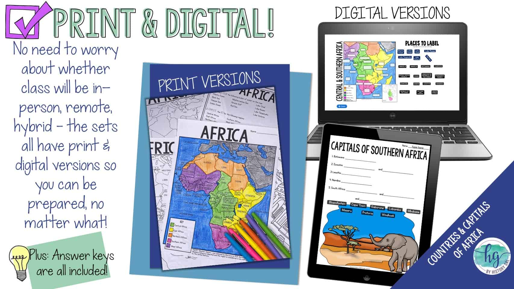
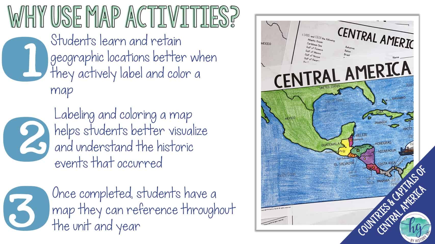
This no-prep print and digital map has students label the countries of Africa and record their capitals. Students will label a map of Africa which includes the 54 African countries of Angola, Benin, Botswana, Burkina Faso, Burundi, Cameroon, Cape Verde, Central African Republic, Chad, Comoros, Côte D’Ivoire, Democratic Republic of the Congo, Djibouti, Egypt, Equatorial Guinea, Eritrea, Eswatini, Ethiopia, Gabon, (The) Gambia, Ghana, Guinea, Guinea-Bissau, Kenya, Lesotho, Liberia, Libya, Madagascar, Malawi, Mali, Mauritania, Mauritius, Morocco, Western Sahara, Mozambique, Namibia, Niger, Nigeria, Republic of the Congo, Rwanda, Sao Tome and Principe, Senegal, Sierra Leone, Somalia, South Africa, South Sudan, Sudan, Tanzania, Togo, Tunisia, Uganda, Zambia, and Zimbabwe.
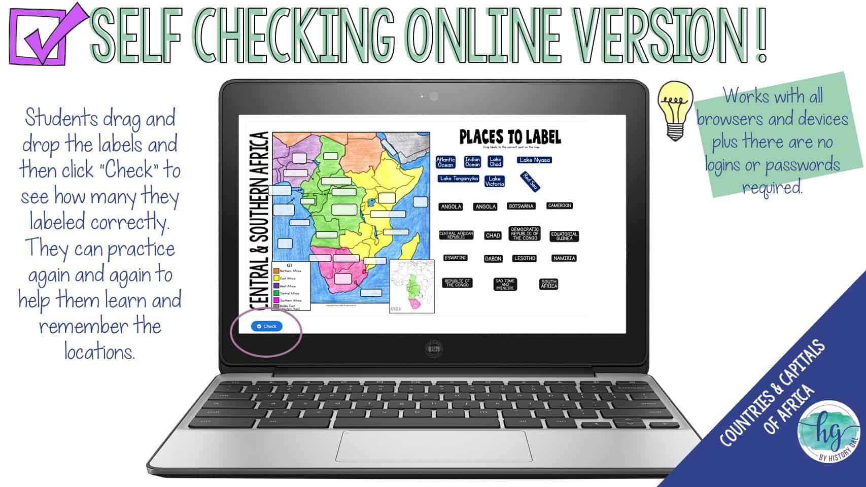
They will also label the Atlantic Ocean, Black Sea, Caspian Sea, Indian Ocean, Mediterranean Sea, Persian Gulf, Red Sea, Lake Chad, Lake Nyasa, Lake Tanganyika, and Lake Victoria
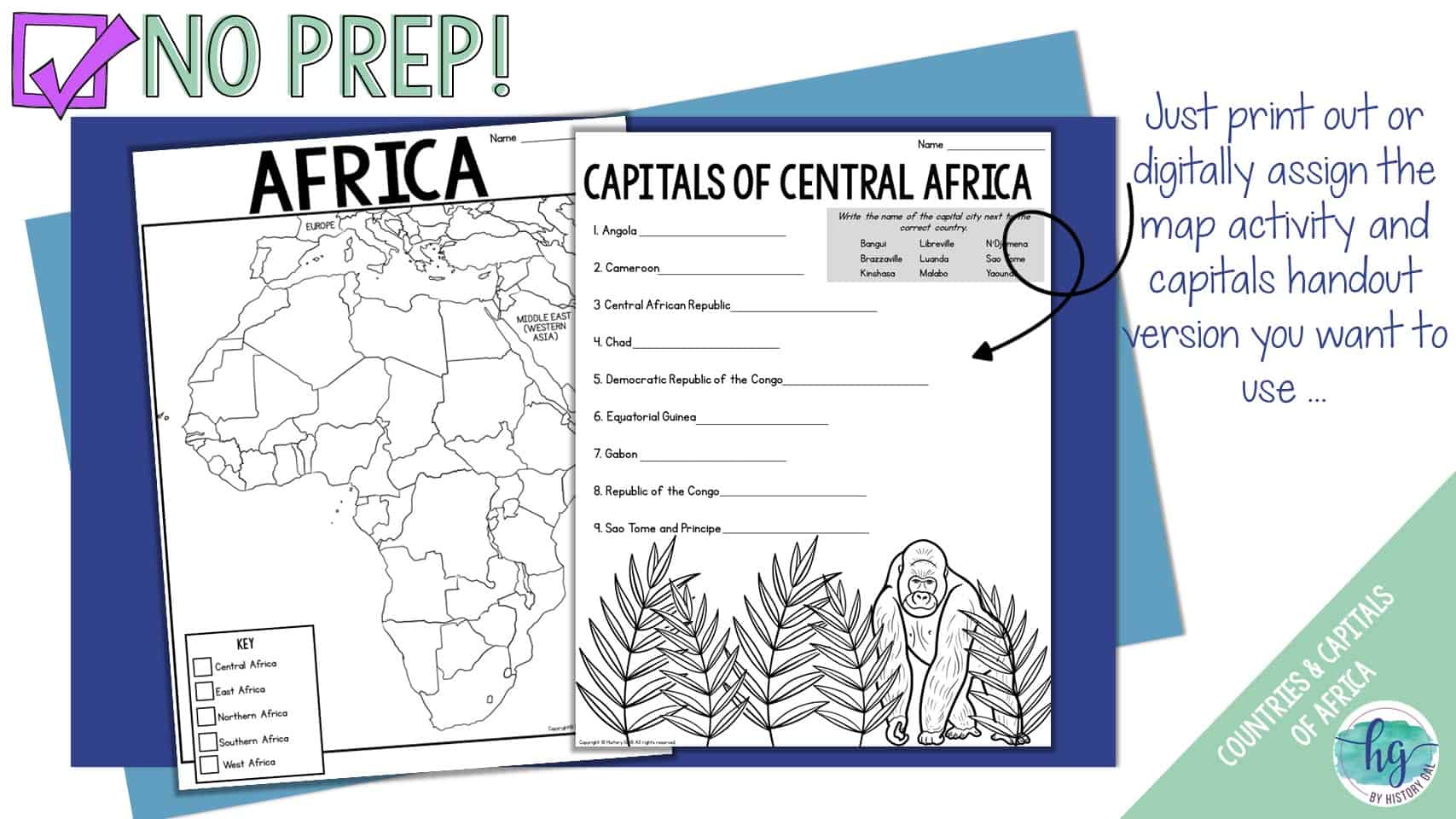
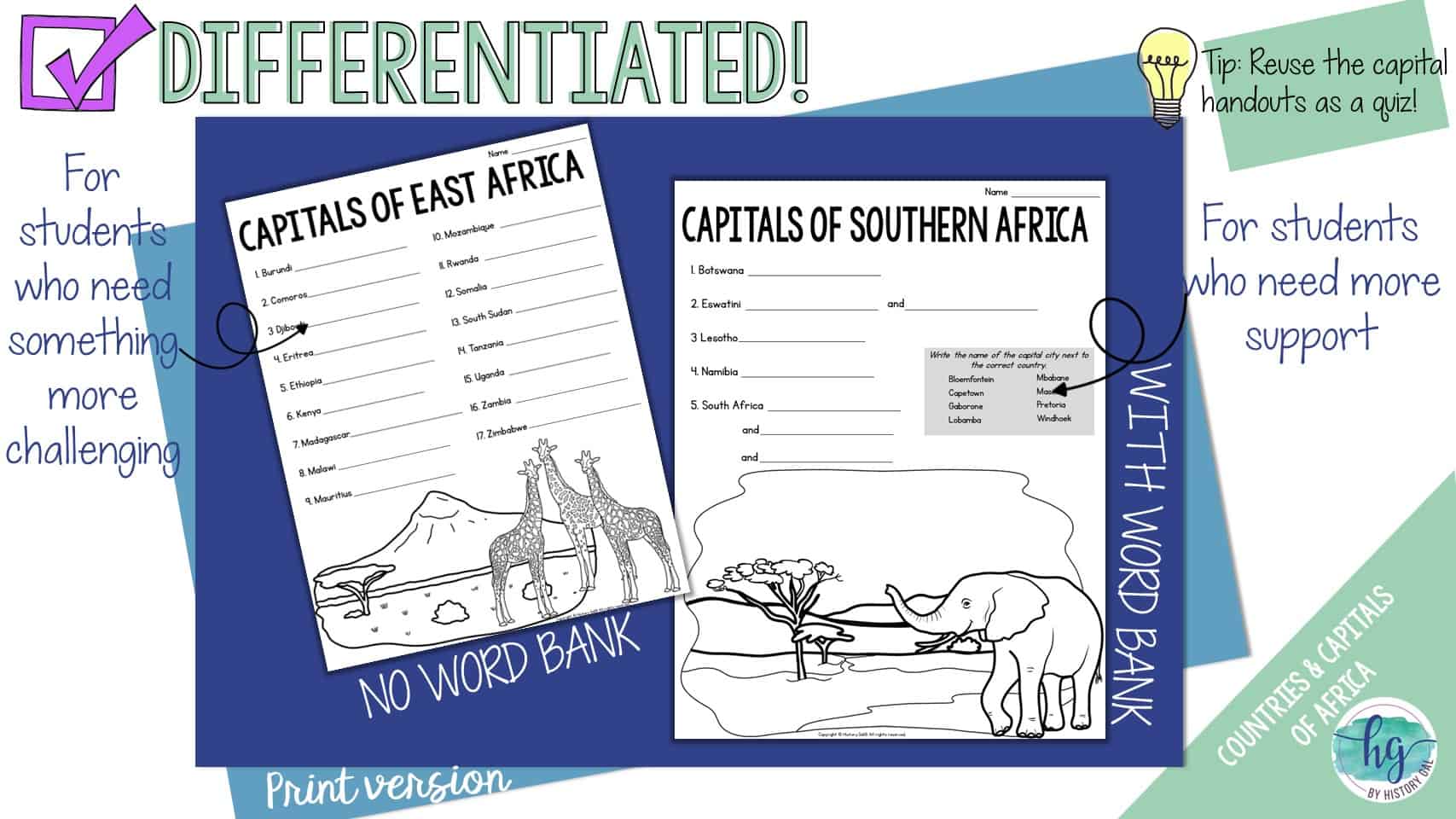
Lastly, to further help students remember the capitals of the countries located in Africa, students will write the capitals down on handouts. These handouts can be used again as a quiz. This download also includes digital versions so it is easy to use with hybrid classes and remote students.
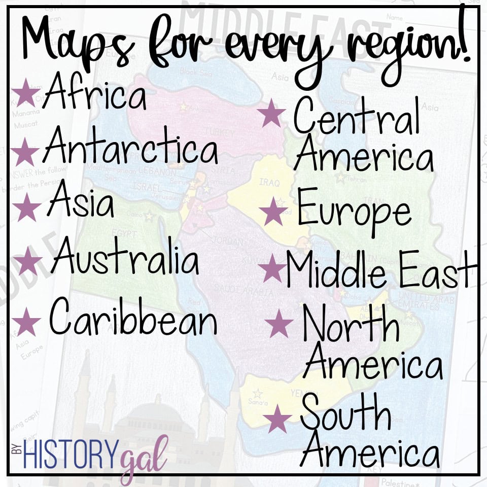
Africa has a lot of countries and if you think it would be helpful for your students to learn the countries and capitals in smaller chunks instead of this one page map that covers all of the countries of Africa on one map, you might like these regional Africa maps instead: East Africa, Central & Southern Africa, Northern and West Africa or the bundle of all of the Africa maps.
What’s Included with the Print Versions:
*Blank map for students to label (2 pages, uneditable PDF)
*Labeled map for students to color (1 page, uneditable pdf)
*Answer key for map (1 page, uneditable pdf)
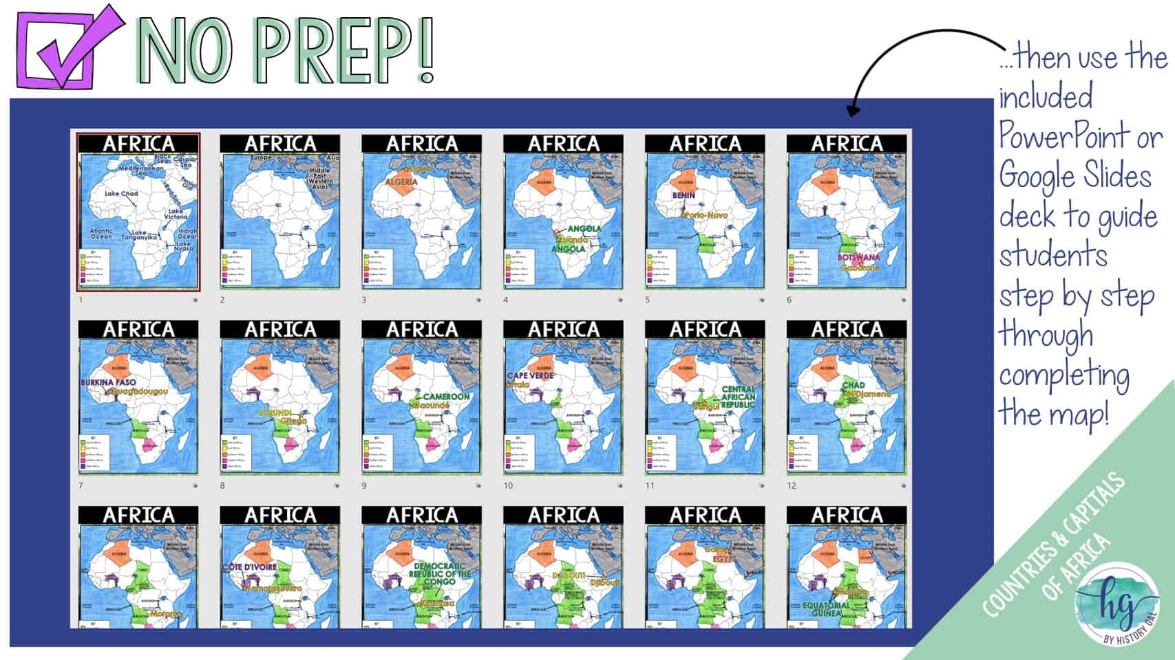
*Animated PowerPoint presentation guides students through completing the map shows (56 slides, most text is editable but images are not)
*Capitals handout with word bank (5 pages, uneditable PDF)
*Capitals handout without a word bank (5 pages, uneditble PDF)
What’s included with the Digital Versions:
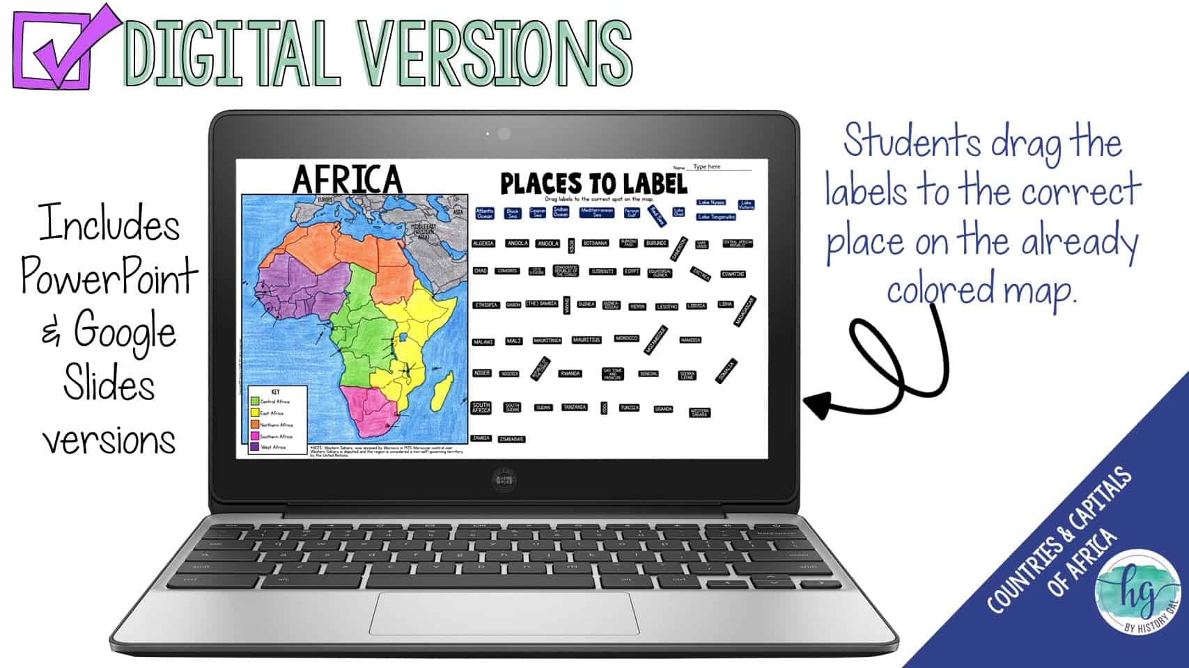
*Blank map for students to label (students will drag labels to the correct spot on the map; PowerPoint & Google Slides versions; not editable)
*Animated Google Slides presentation to guide students through completing the map (56 slides, most text is editable but images are not)
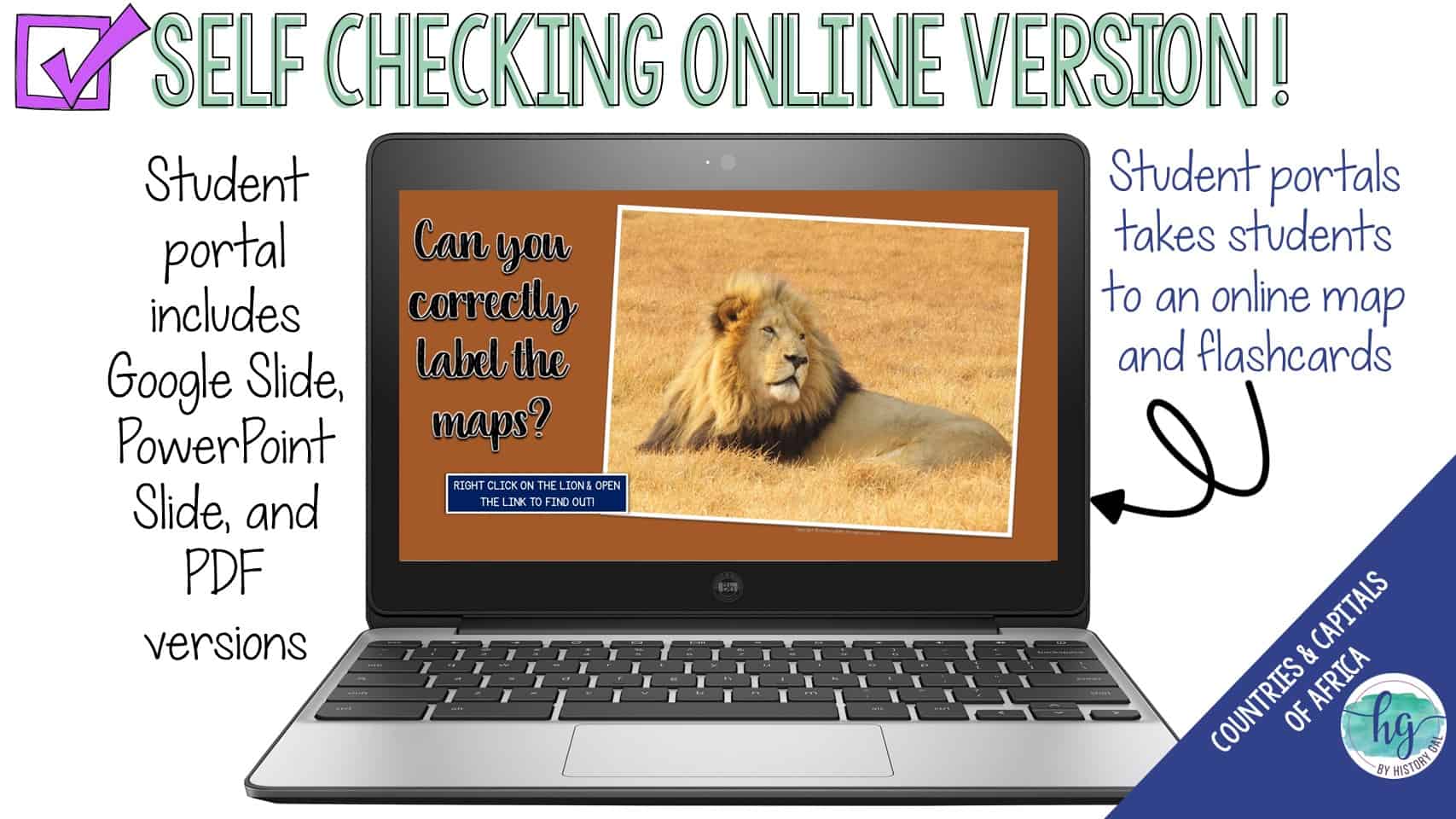
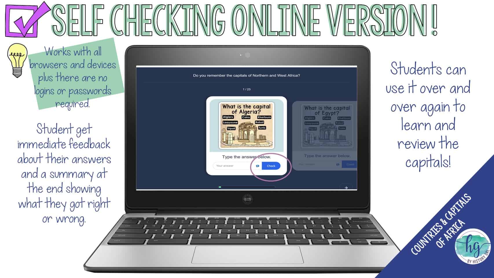
*Online Map lets students test their knowledge of locations (internet connection is required to access, works on all browsers and with all devices, no account and no logins required, self-checking)
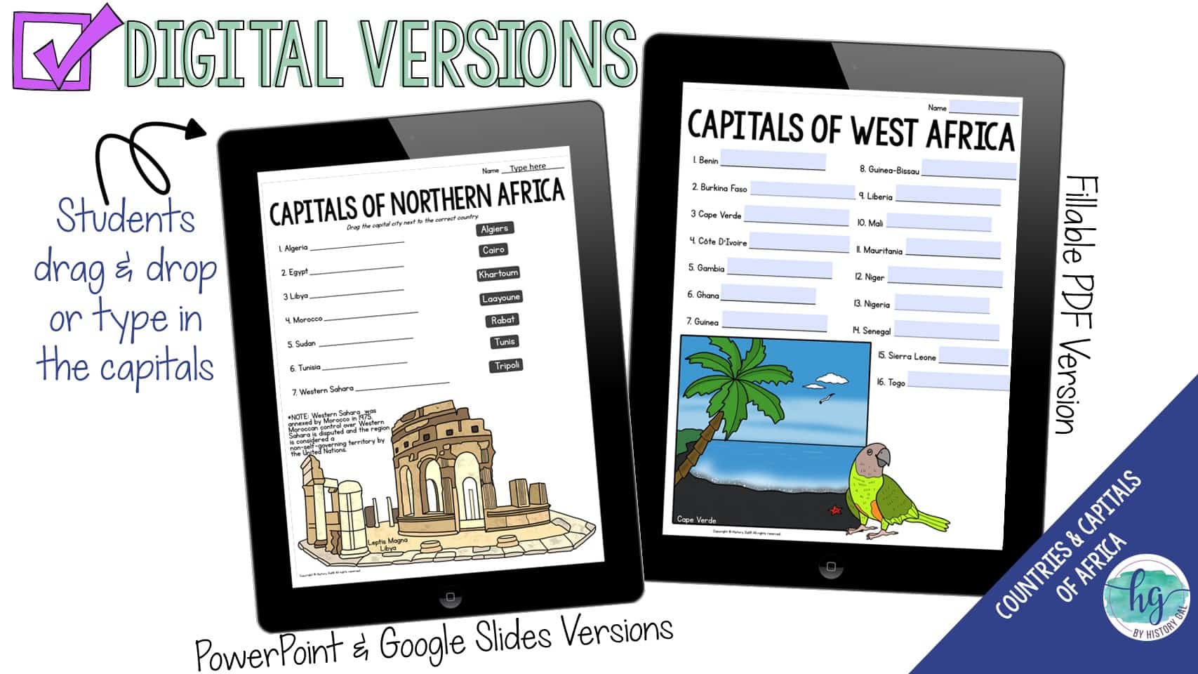
*Digital Capitals handout with word bank (5 pages, PowerPoint, Google Slides, and fillable PDF versions; students drag and drop the capitals in PowerPoint & Google Slides and type into the fillable PDF)
*Digital Capitals handout without a word bank (5 pages, students type their answers into the PowerPoint, Google Slides or PDF version)
*Online Flashcards let students test their knowledge of the capitals (internet connection is required to access, works on all browsers and with all devices, no account and no logins required, self-checking)
Questions? Check out the FAQs.
Copyright © History Gal. All rights reserved by author.
Personal classroom use only.

&url=https://byhistorygal.com/product/africa-countries-and-capitals-map-activity-print-and-digital/&media=https://byhistorygal.com/wp-content/uploads/2023/01/History-Gal_Cover-Africa-Map-Activity.jpg)
&url=https://byhistorygal.com/product/central-america-countries-and-capitals-map-activity-print-and-digital/&media=https://byhistorygal.com/wp-content/uploads/2022/10/History-Gal_Cover-Central-America-Map-Activity.jpg)
&url=https://byhistorygal.com/product/countries-and-capitals-of-the-world-map-activity-bundle-print-and-digital/&media=https://byhistorygal.com/wp-content/uploads/2022/10/History-Gal_Cover-Bundle-Countries-Capitals-4.jpg)
Reviews
There are no reviews yet.