Description
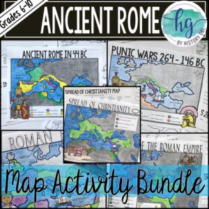
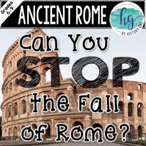
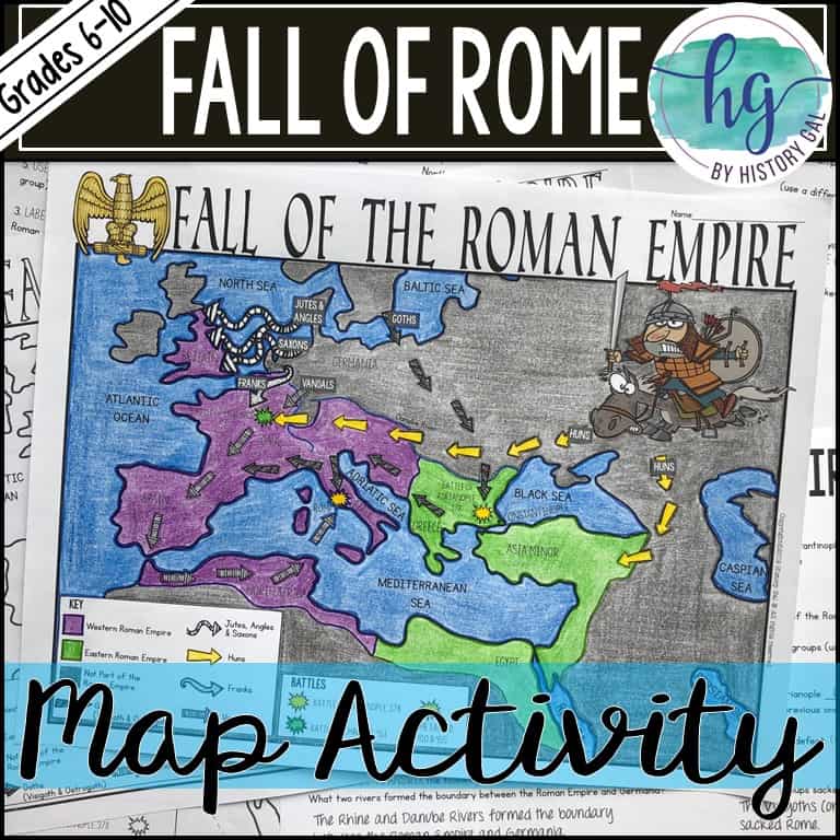
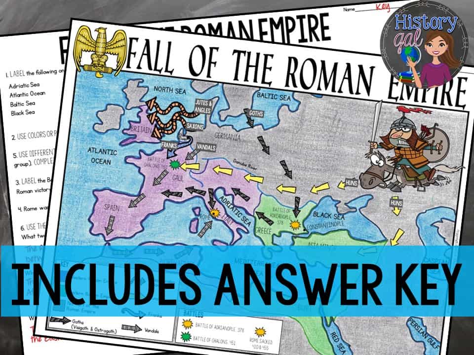
Students will label and color a map to help them understand how the Western Roman Empire collapsed. Students will also use the map to answer 6 questions.
What’s Included with the print versions:
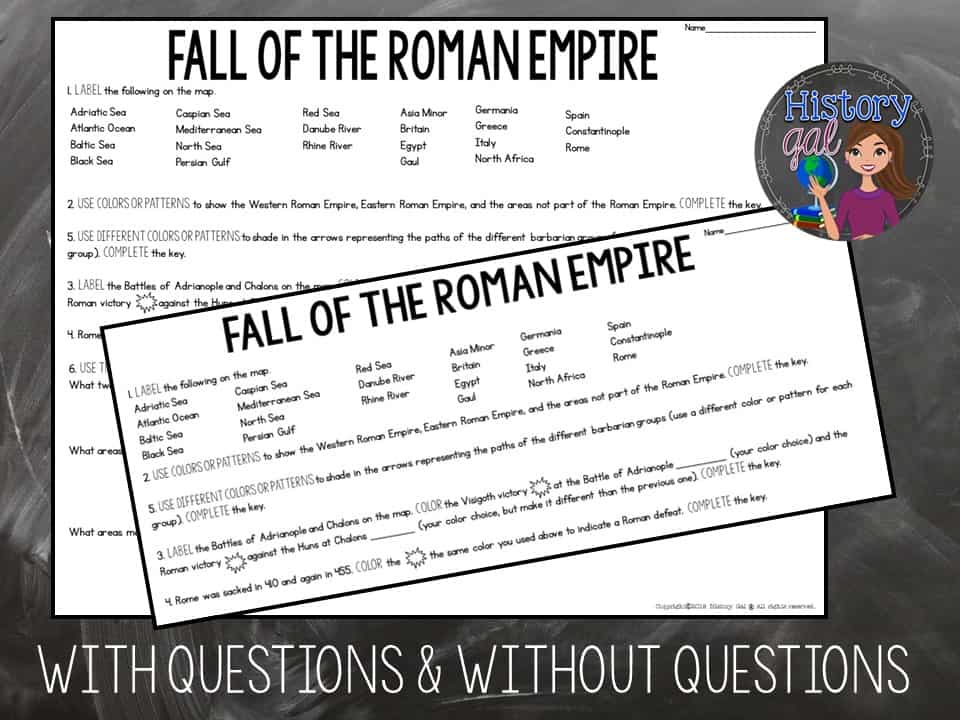
*Blank map with 6 questions for students to answer (2 pages; uneditable PDF)
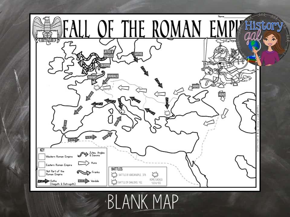
*Blank map without questions (1 1/2 pages; uneditable PDF)
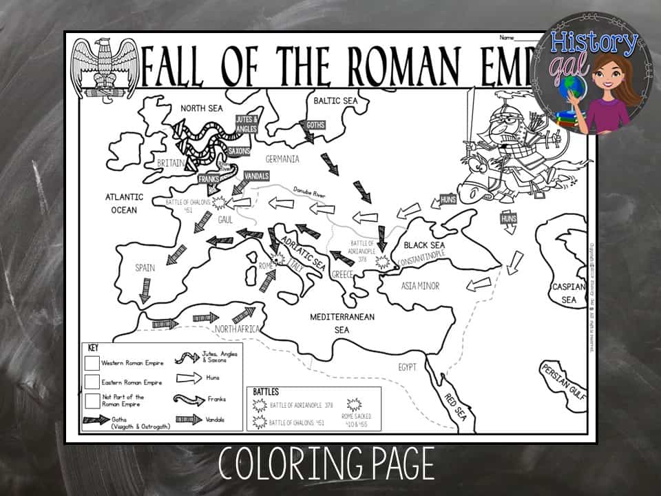
*Map for students to just color (1 page; uneditable PDF)
*Answer key for map and questions (2 pages; uneditable PDF)
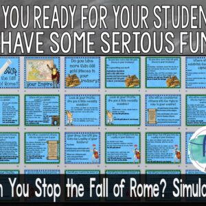
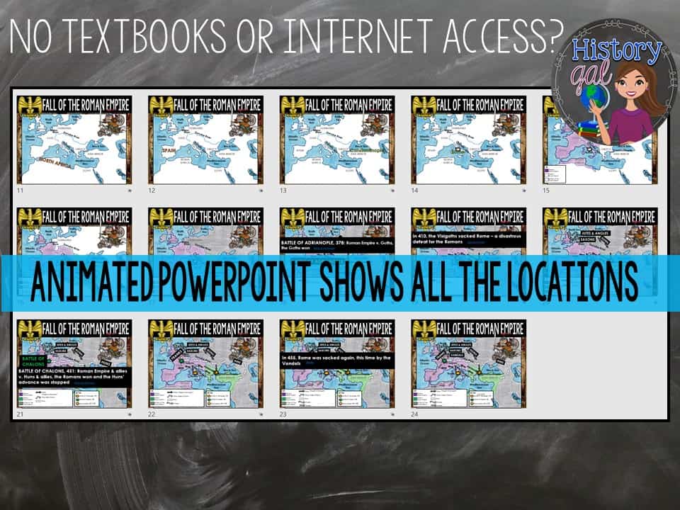
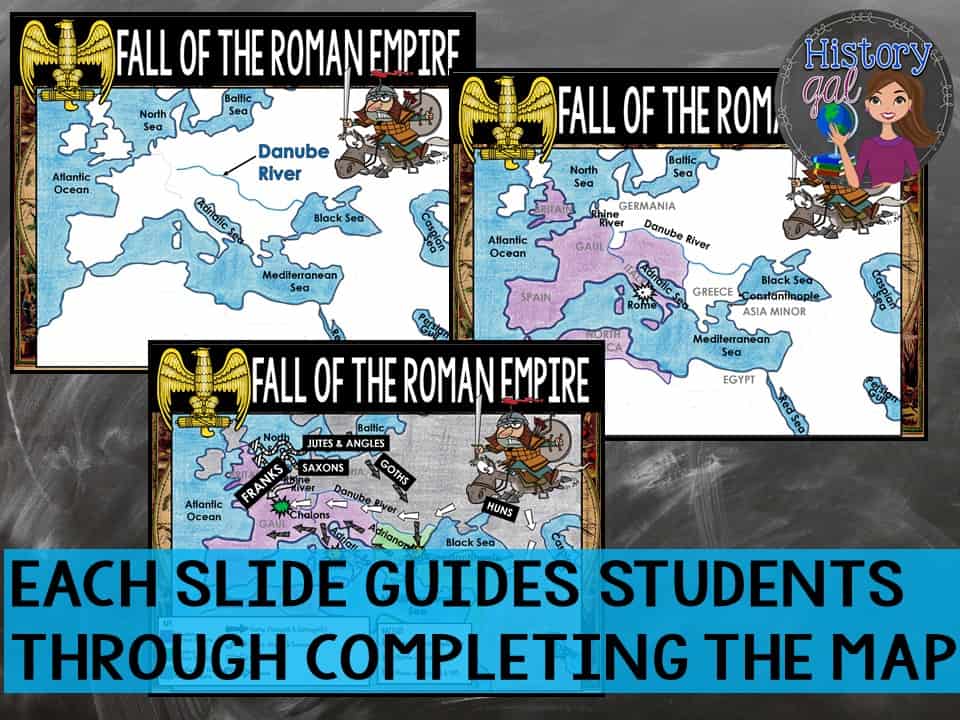
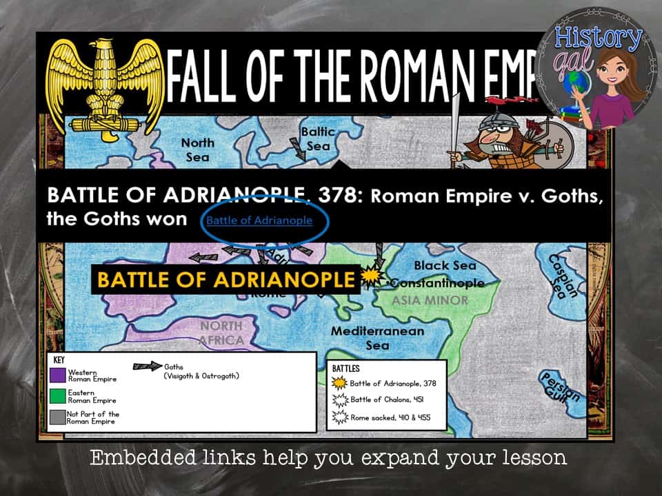
*Animated PowerPoint shows each location and the key – perfect for classrooms without textbooks or Internet access (24 slides, each slide guides students through completing the map; some text is editable but images are not)
What’s included with the Digital Versions:
*Map for students to label (students will drag labels to the correct spot on the map and complete the key; PowerPoint & Google Slides versions; not editable)
*Online map lets students test their knowledge of locations (internet connection is required to access, works on all browsers and with all devices, no account and no logins required, self-checking)
*Animated Google Slides shows each location and the key – perfect for classrooms without textbooks or Internet access (22 slides, each slide guides students through completing the map, text is editable but images are not)
This download contains files that may be printed and copied or used digitally. Use whichever version fit best with your class. The other version remain yours in case you ever need to use them (in case your school makes the jump to 1:1 classes sometime in the future or if you have a student whose IEP requires a hard copy of assignments instead of digital ones).
You may put the materials in this file on a LMA for STUDENT USE that RESTRICTS access like Google Classroom, Edmodo, Blackboard, etc. where students are either invited via an email address or log in with a user name and password (use on Outschool and similar platforms is not permitted). IT MAY NOT BE UPLOADED TO A CLASS WEBSITE UNLESS THE SITE IS RESTRICTED TO STUDENTS WITH A LOGIN AND PASSWORD AND IT MAY NOT BE USED IN A COURSE ON OUTSCHOOL OR ANY SIMILAR PLATFORMS/MARKETPLACES.
Personal Classroom Use Only