
Description
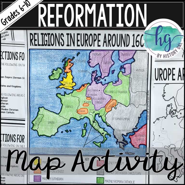
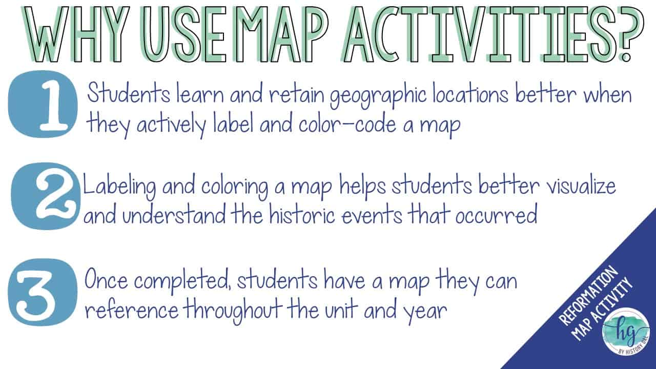
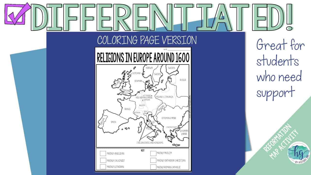
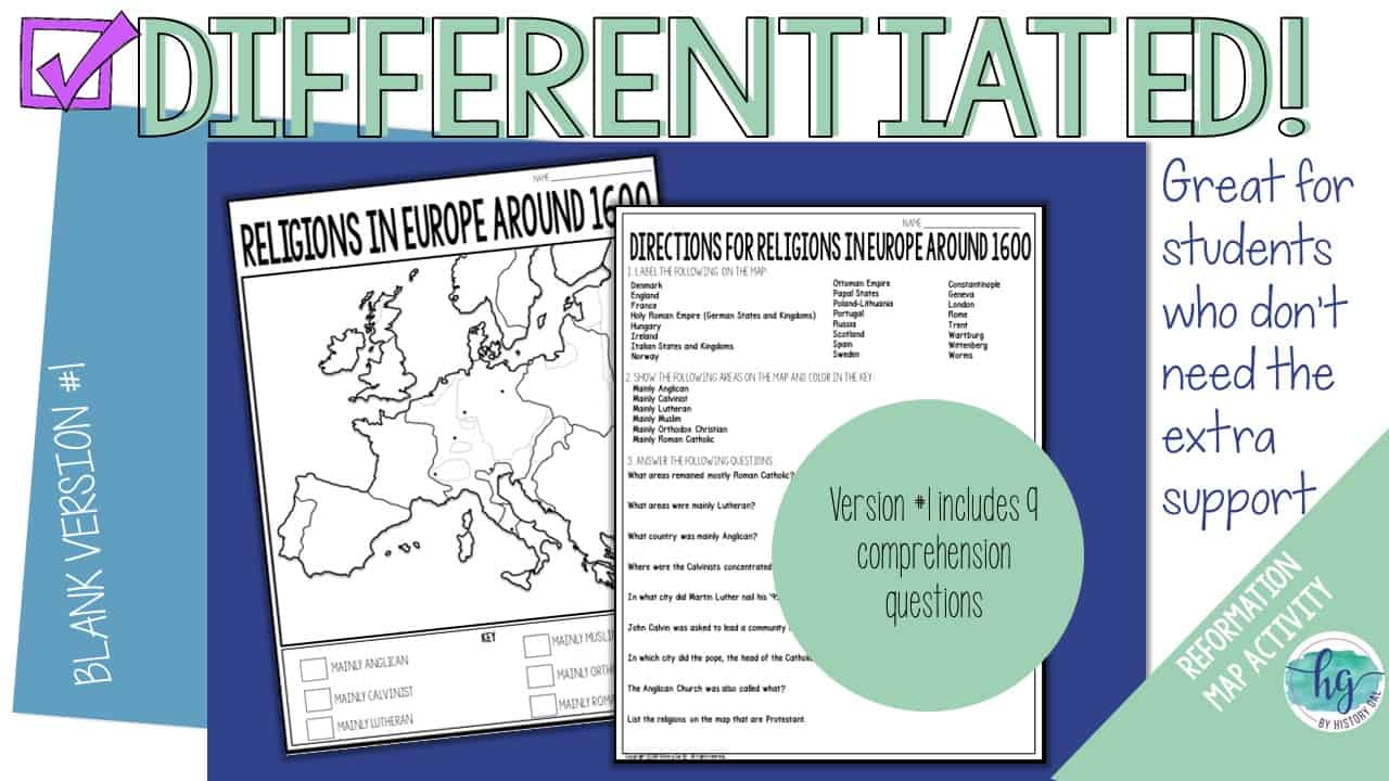
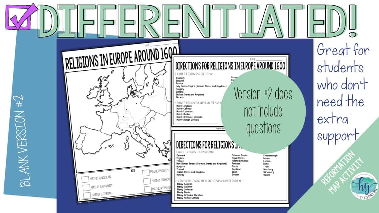
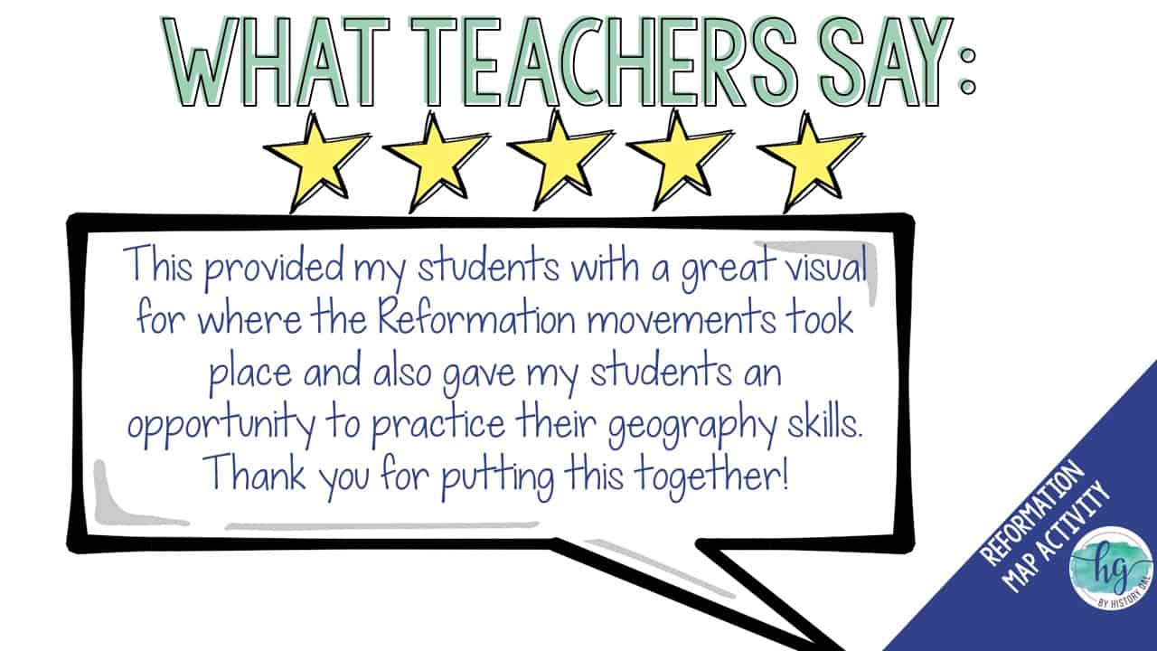
Students will label and color a map of Europe from 1600 to identify which areas were mainly Anglican, Calvinist, Lutheran, Muslim, Orthodox Christian, and Roman Catholic. They will also answer 9 questions about the map.
What’s Included:
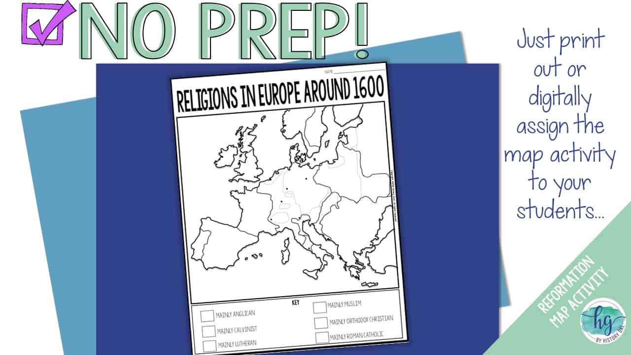
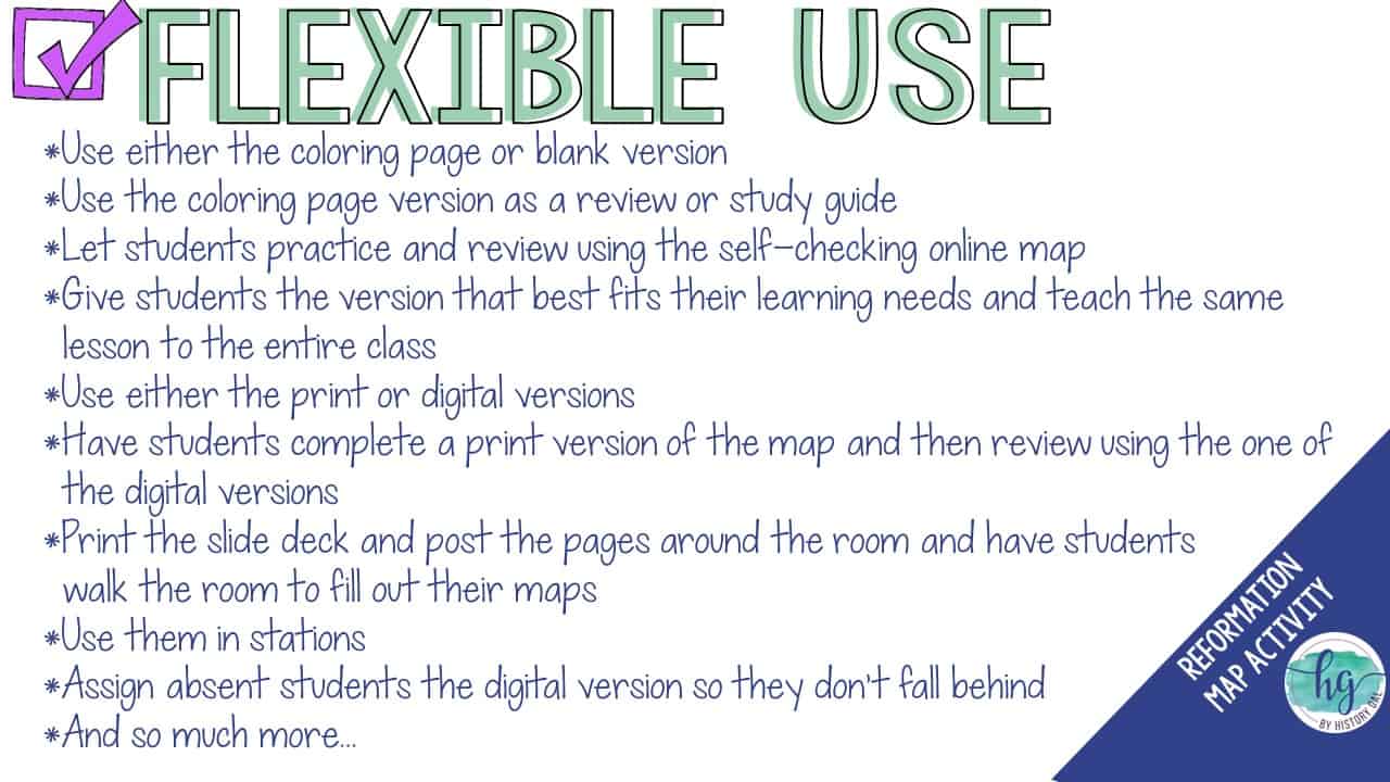
*Blank Religions in Europe Around 1600 map with questions for students to answer (2 pages; uneditable PDF)
*Blank Religions in Europe Around 1600 map without questions (1 1/2 pages; uneditable PDF)
*Coloring Page for Religions in Europe Around 1600 (1 page; uneditable PDF)
*Answer key for map and questions (2 pages; uneditable PDF)
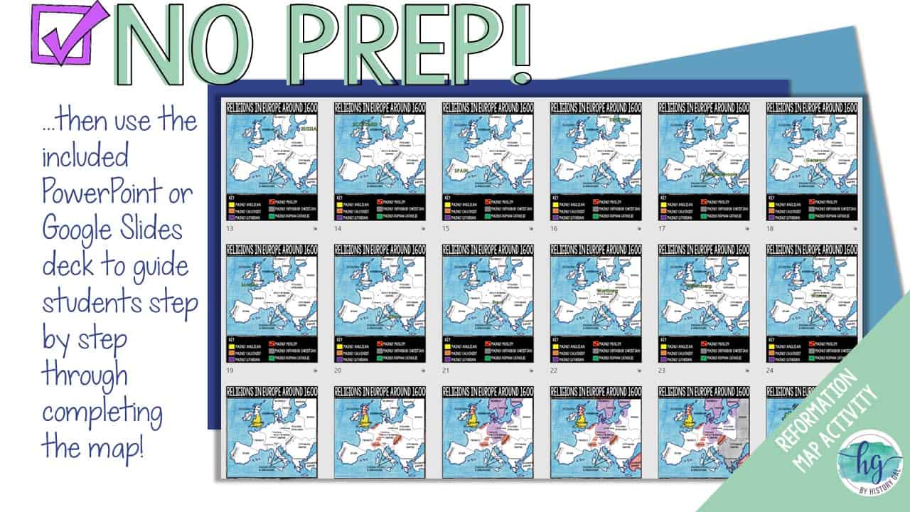
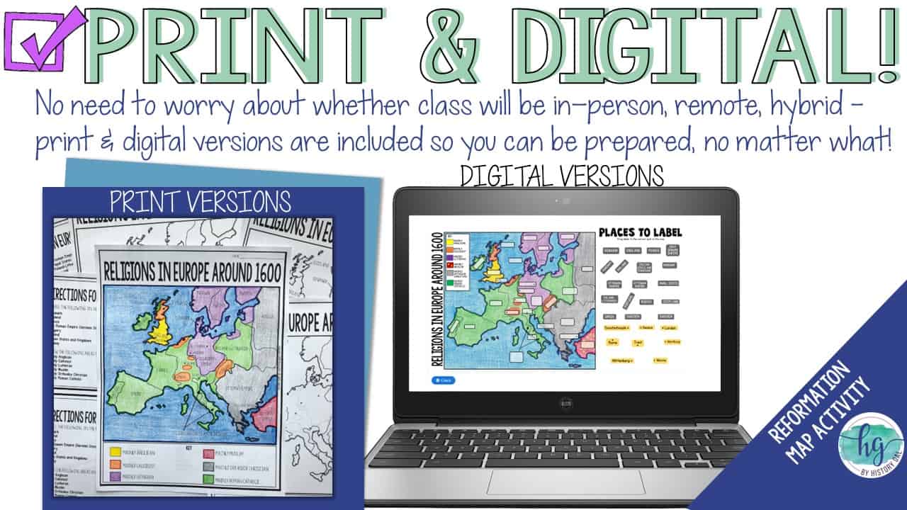
*Animated PowerPoint shows each location and the key – perfect for classrooms without textbooks or Internet access (30 slides, each slide guides students through completing the map, not editable)
What’s included with the Digital Versions:
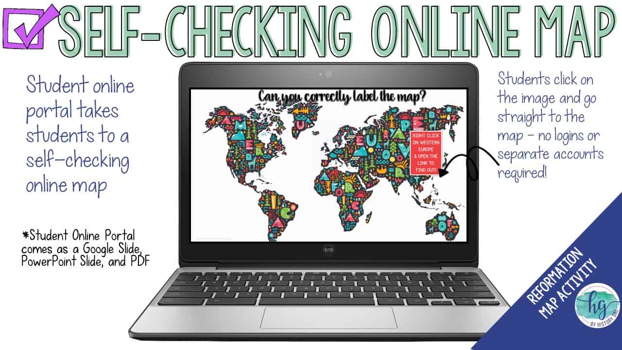
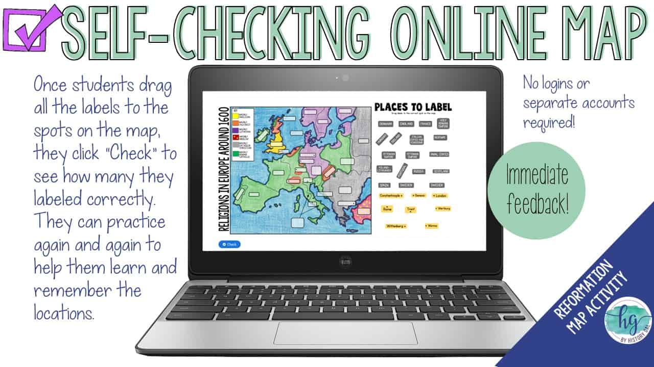
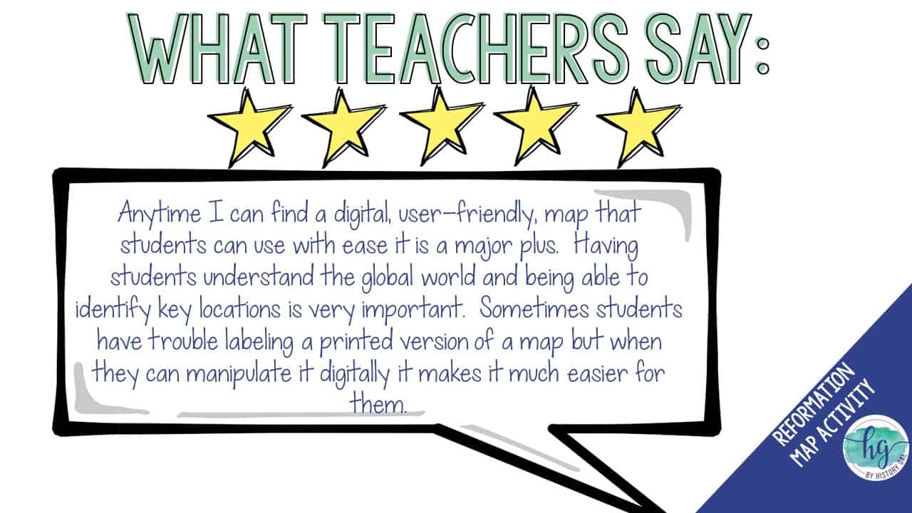
*Map for students to label (students will drag labels to the correct spot on the map; PowerPoint & Google Slides versions; not editable)
*Online Map lets students test their knowledge of locations on the map (internet connection is required to access, works on all browsers and with all devices, no account and no logins required, self-checking)
Questions? Check out the FAQs.
Copyright © History Gal. All rights reserved by author.
Personal classroom use only.


&url=https://byhistorygal.com/product/protestant-reformation-map-activity-print-and-digital/&media=https://byhistorygal.com/wp-content/uploads/2022/10/History-Gal_Cover-Reformation-Map.jpg)
&url=https://byhistorygal.com/product/protestant-reformation-powerpoint-martin-luther-henry-viii/&media=https://byhistorygal.com/wp-content/uploads/2022/10/History-Gal_Cover-Reformation-PowerPoint.jpg)
%20D-Day%20Bingo%20Freebie!&url=https://byhistorygal.com/product/world-war-ii-wwii-d-day-bingo-freebie/&media=https://byhistorygal.com/wp-content/uploads/2020/02/History-Gal_Cover-D-Day-Bingo-1.jpg)
Reviews
There are no reviews yet.