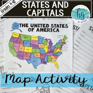
Description
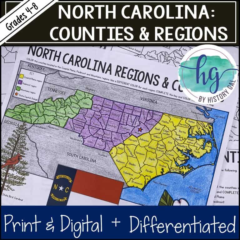
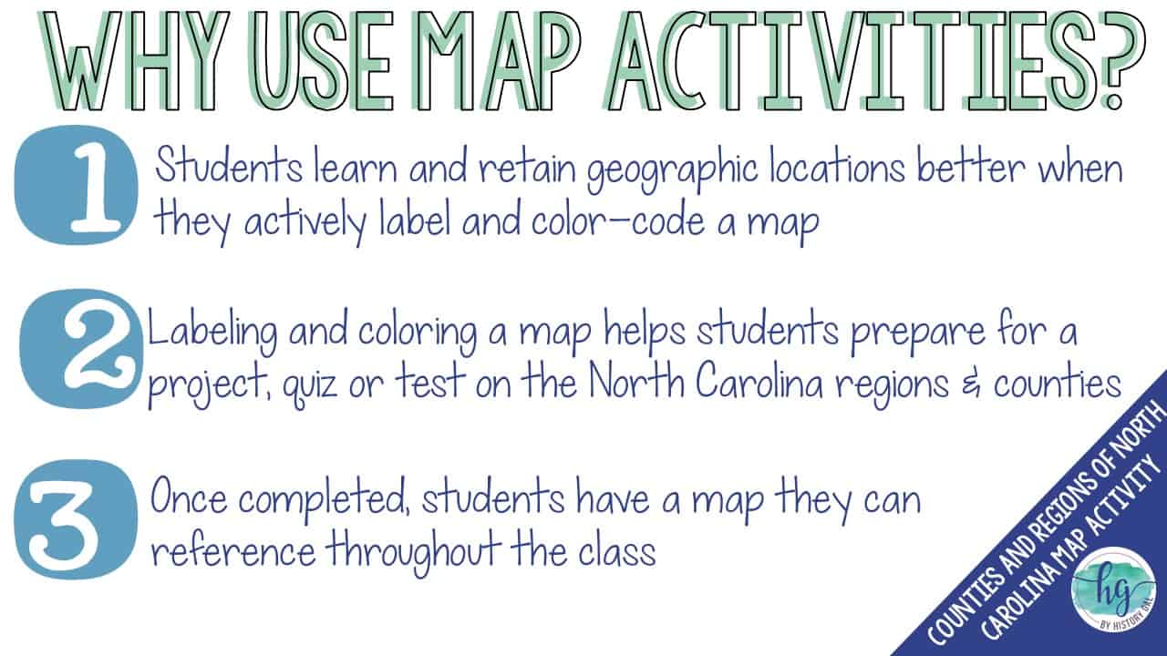
Looking for a map of North Carolina so your students can label the 100 counties in North Carolina and the 3 geographic regions (Coastal Plains, Piedmont and Mountains) while they practice their mapping skills? If so, this no-prep, print and digital map activity set for the counties and regions of North Carolina is just what you need!
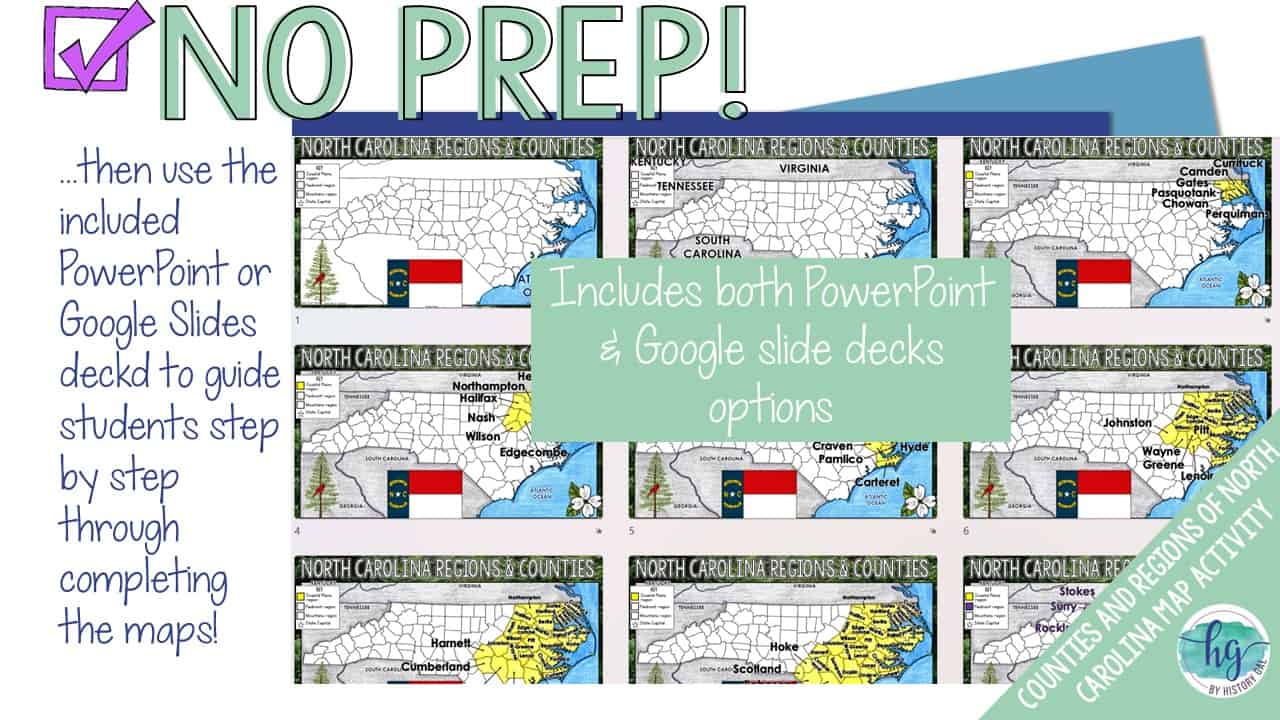
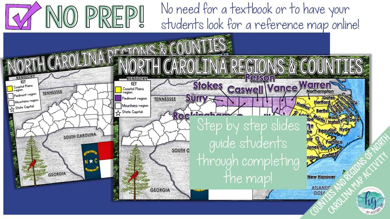
Students will follow a step by step slide deck (PowerPoint and Google Slides version are included) to label the 100 counties of North Carolina and color the 3 regions on a map. No textbook or reference map needed!
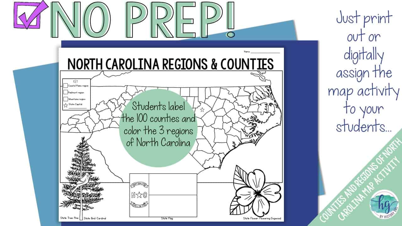
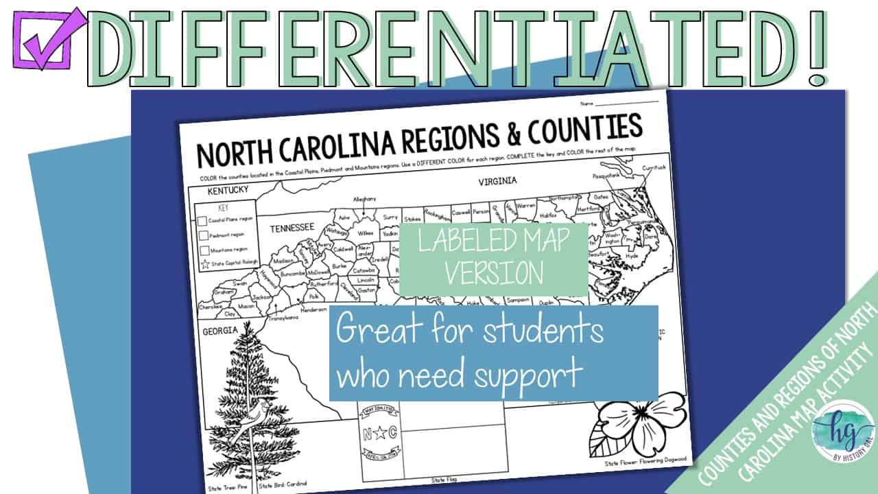
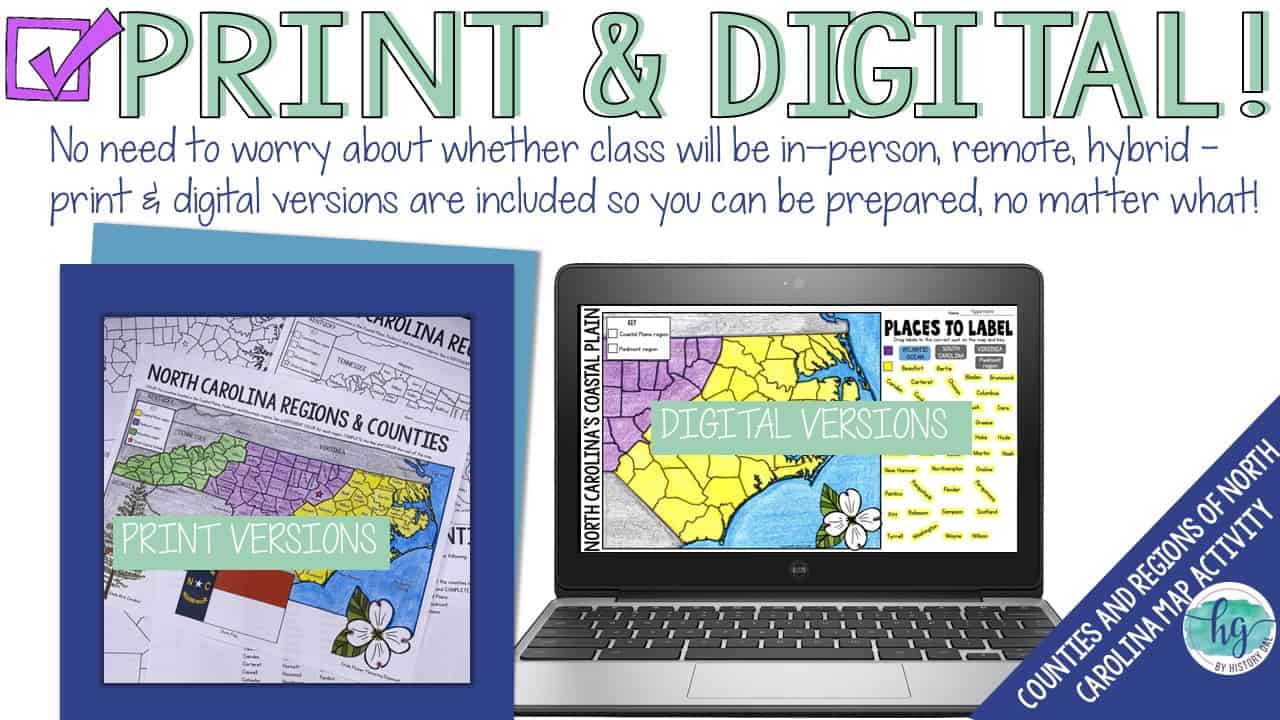
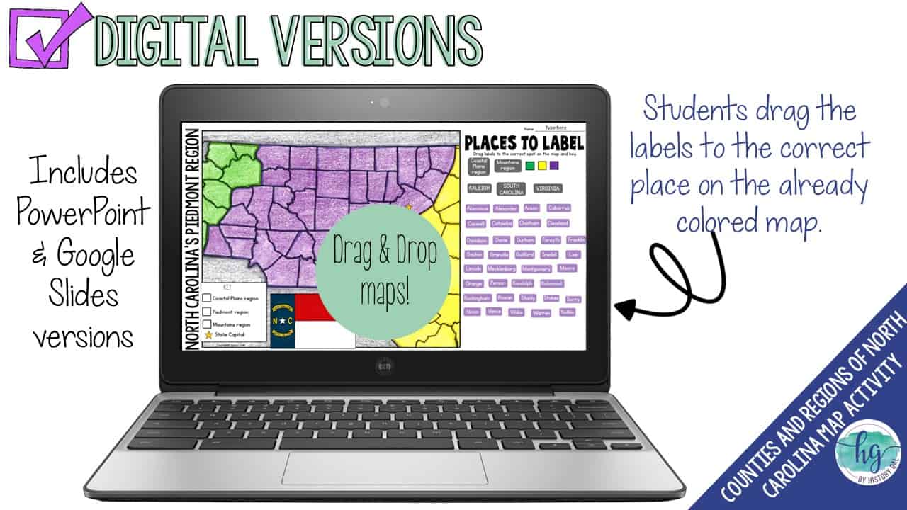
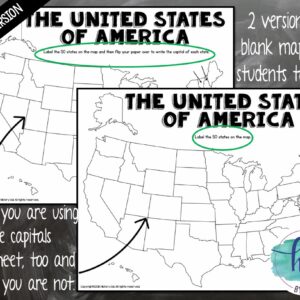
A coloring page version is included for students who need more scaffolding. Have a paperless classroom? Students can also label a map by dragging and dropping labels on a digital map.
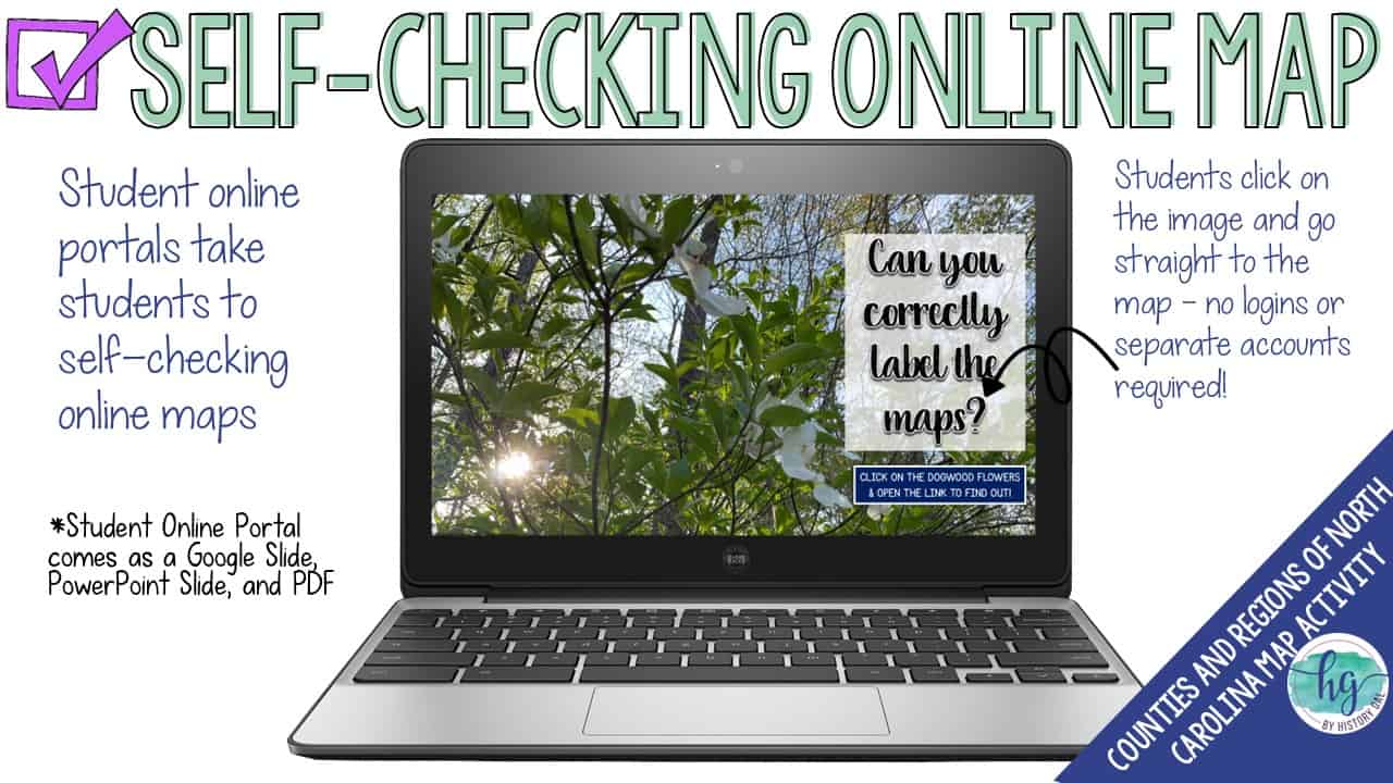
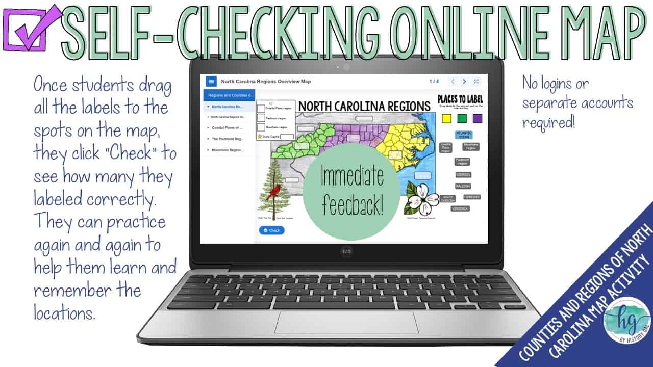
Lastly, students can practice what they’ve learned by using self-checking online maps!
What’s included:
✅ Print & Digital Map Versions
✅ Differentiated Options
✅ PowerPoint & Google Slides Decks
✅ Links to Self-Checking Online Map
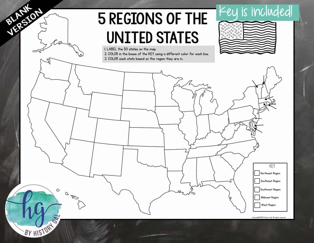
✨Students will label & color: ✨
✅Neighboring and nearby states (Georgia, Kentucky, South Carolina, Tennessee & Virginia)
✅100 counties
✅Raleigh
✅3 geographic regions of North Carolina (Coastal Plains, Piedmont & Mountains)
What’s Included with the Print Versions:
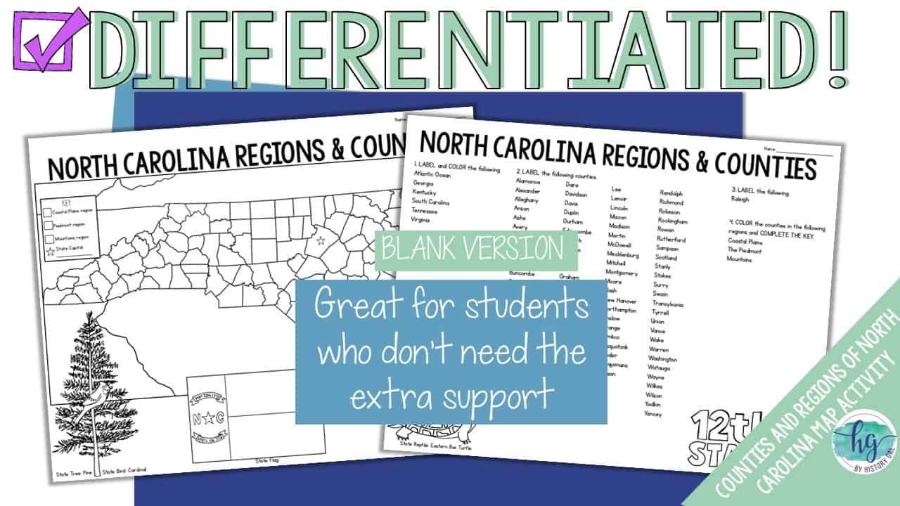
⭐️Blank map for students (2 pages, uneditable PDF)
⭐️Labeled map for students to color (1 page, uneditable pdf)
⭐️Answer key for map (1 page, uneditable pdf)
⭐️Animated PowerPoint guides students step-by-step through completing the map (18 slides, each slide guides students through completing the map, most text is editable but images are not)
What’s included with the Digital Versions:
⭐️Blank maps for students to label (students will drag labels to the correct spot on the map; PowerPoint & Google Slides versions; not editable)
⭐️Google Slides deck guides students step-by-step through completing the map (18 slides, each slide guides students through completing the map)
⭐️Answer key for maps (uneditable pdf)
⭐️Online Maps let students test their knowledge of locations (internet connection is required to access, works on all browsers and with all devices, no account and no logins required, self-checking)
Questions? Check out the FAQs.
Copyright © History Gal. All rights reserved by author.
Personal classroom use only.


&url=https://byhistorygal.com/product/north-carolina-map-with-counties-and-regions-print-digital/&media=https://byhistorygal.com/wp-content/uploads/2025/04/History-Gal_Cover-North-Carolina-Map-Activity.jpg)
&url=https://byhistorygal.com/product/50-states-and-capitals-map-activity-print-and-digital/&media=https://byhistorygal.com/wp-content/uploads/2022/08/History-Gal_Cover-50-States-and-Capitals.jpg)
&url=https://byhistorygal.com/product/5-regions-of-the-united-states-map-activity-print-and-digital/&media=https://byhistorygal.com/wp-content/uploads/2022/09/History-Gal_Cover-5-Regions-of-the-US.jpg)
Reviews
There are no reviews yet.